242 Rivercrest Dr Brooklet, GA 30415
Estimated Value: $433,000 - $681,000
5
Beds
4
Baths
2,820
Sq Ft
$208/Sq Ft
Est. Value
About This Home
This home is located at 242 Rivercrest Dr, Brooklet, GA 30415 and is currently estimated at $585,193, approximately $207 per square foot. 242 Rivercrest Dr is a home with nearby schools including Stilson Elementary School, Southeast Bulloch High School, and Southeast Bulloch Middle School.
Ownership History
Date
Name
Owned For
Owner Type
Purchase Details
Closed on
Apr 21, 2017
Bought by
Andrews Stephen David and Andrews Laura Marie
Current Estimated Value
Home Financials for this Owner
Home Financials are based on the most recent Mortgage that was taken out on this home.
Original Mortgage
$31,875
Interest Rate
4.23%
Mortgage Type
New Conventional
Purchase Details
Closed on
Jun 21, 2011
Sold by
Sutton Patricia T
Bought by
Mlsm Llc
Purchase Details
Closed on
Aug 15, 2007
Sold by
Not Provided
Bought by
Cpi Grp Llc
Create a Home Valuation Report for This Property
The Home Valuation Report is an in-depth analysis detailing your home's value as well as a comparison with similar homes in the area
Purchase History
| Date | Buyer | Sale Price | Title Company |
|---|---|---|---|
| Andrews Stephen David | $37,500 | -- | |
| Mlsm Llc | -- | -- | |
| Cpi Grp Llc | -- | -- |
Source: Public Records
Mortgage History
| Date | Status | Borrower | Loan Amount |
|---|---|---|---|
| Closed | Andrews Stephen David | $31,875 |
Source: Public Records
Tax History
| Year | Tax Paid | Tax Assessment Tax Assessment Total Assessment is a certain percentage of the fair market value that is determined by local assessors to be the total taxable value of land and additions on the property. | Land | Improvement |
|---|---|---|---|---|
| 2025 | $4,852 | $211,480 | $40,440 | $171,040 |
| 2024 | $4,368 | $198,040 | $40,440 | $157,600 |
| 2023 | $4,572 | $189,920 | $33,680 | $156,240 |
| 2022 | $3,271 | $153,549 | $20,220 | $133,329 |
| 2021 | $2,906 | $133,283 | $20,220 | $113,063 |
| 2020 | $2,862 | $127,972 | $20,220 | $107,752 |
| 2019 | $2,815 | $123,245 | $15,493 | $107,752 |
| 2018 | $281 | $12,908 | $12,908 | $0 |
| 2017 | $284 | $12,908 | $12,908 | $0 |
| 2016 | $292 | $12,908 | $12,908 | $0 |
| 2015 | $293 | $12,908 | $12,908 | $0 |
| 2014 | -- | $12,908 | $12,908 | $0 |
Source: Public Records
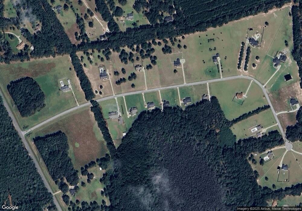
Map
Nearby Homes
- 440 Rivercrest Dr
- 320 Live Oak Loop
- 614-670 Pleasant Church Hill Rd
- 614 Pleasant Hill Church Rd
- 0 Highway 119 N Unit 10458049
- 670 Pleasant Hill Church Rd
- 164 River Bluff Way
- 674 Belfast Loop
- 672 Belfast Loop
- 668 Belfast Loop
- 674 Belfast Loop Unit LOT 189
- 672 Belfast Loop Unit LOT 188
- 676 Belfast Loop Unit LOT 190
- 670 Belfast Loop
- 670 Belfast Loop Unit 187
- 668 Belfast Loop Unit LOT 186
- 676 Belfast Loop
- 639 Belfast Loop Unit 97
- 635 Belfast Loop
- 641 Belfast Loop Unit 98
- 214 Rivercrest Dr
- 194 Rivercrest Dr
- 430 Rivercrest Dr
- 441 Rivercrest Dr
- 260 Rivercrest Dr
- 280 Rivercrest Dr
- 6469 Highway 119 N
- 401 Rivercrest Dr
- 441 Rivercrest Dr
- 229 Rivercrest Dr
- 229 Rivercrest Dr Unit 4
- 342 Rivercrest Dr
- 271 Rivercrest Dr
- 308 Rivercrest Dr
- 396 Rivercrest Dr
- 189 Rivercrest Dr
- 4134 Highway 119 N
- 0 Rivercrest Dr Unit 20 8436158
- 0 Rivercrest Dr Unit 194853
- 0 Rivercrest Dr Unit 186557
Your Personal Tour Guide
Ask me questions while you tour the home.