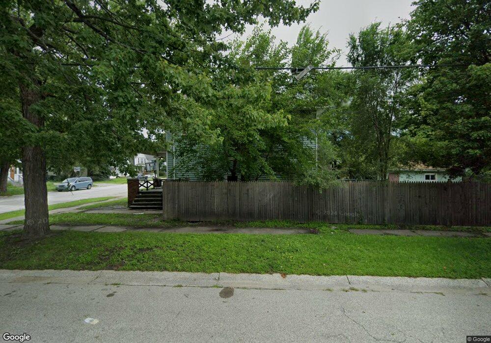
2420 9th St Port Huron, MI 48060
Estimated Value: $134,000 - $188,000
4
Beds
1
Bath
1,520
Sq Ft
$107/Sq Ft
Est. Value
About This Home
This home is located at 2420 9th St, Port Huron, MI 48060 and is currently estimated at $162,250, approximately $106 per square foot. 2420 9th St is a home located in St. Clair County with nearby schools including Woodrow Wilson Elementary School, Central Middle School, and Port Huron High School.
Ownership History
Date
Name
Owned For
Owner Type
Purchase Details
Closed on
Mar 14, 2008
Sold by
Segar Walter D and Segar June A
Bought by
Fowler Mark and Fowler Samantha
Current Estimated Value
Home Financials for this Owner
Home Financials are based on the most recent Mortgage that was taken out on this home.
Original Mortgage
$79,677
Outstanding Balance
$51,162
Interest Rate
6.32%
Mortgage Type
FHA
Estimated Equity
$111,088
Create a Home Valuation Report for This Property
The Home Valuation Report is an in-depth analysis detailing your home's value as well as a comparison with similar homes in the area
Home Values in the Area
Average Home Value in this Area
Purchase History
| Date | Buyer | Sale Price | Title Company |
|---|---|---|---|
| Fowler Mark | $94,000 | Devon Title Agency |
Source: Public Records
Mortgage History
| Date | Status | Borrower | Loan Amount |
|---|---|---|---|
| Open | Fowler Mark | $79,677 |
Source: Public Records
Tax History
| Year | Tax Paid | Tax Assessment Tax Assessment Total Assessment is a certain percentage of the fair market value that is determined by local assessors to be the total taxable value of land and additions on the property. | Land | Improvement |
|---|---|---|---|---|
| 2025 | $1,391 | $70,100 | $0 | $0 |
| 2024 | $1,356 | $66,400 | $0 | $0 |
| 2023 | $1,281 | $59,000 | $0 | $0 |
| 2022 | $1,306 | $49,000 | $0 | $0 |
| 2020 | $1,254 | $38,800 | $38,800 | $0 |
| 2019 | $1,232 | $27,200 | $0 | $0 |
| 2018 | $1,205 | $27,200 | $0 | $0 |
| 2017 | $1,077 | $25,500 | $0 | $0 |
| 2016 | $914 | $25,500 | $0 | $0 |
| 2015 | $954 | $25,500 | $25,500 | $0 |
| 2014 | $954 | $26,600 | $26,600 | $0 |
| 2013 | -- | $29,200 | $0 | $0 |
Source: Public Records
Map
Nearby Homes
- 2444 Military St
- 2417 11th St
- 1127 Vanderburgh Place
- 2704 Military St
- 2712 Military St
- 2108 Military St
- 738 Bancroft St
- 1334 Beard St
- 1026 Bancroft St
- 1218 Center Ave
- 822 Minnie St
- 1831 11th St
- 1301 Bancroft St
- 929 Division St
- 1211 Minnie St
- 1725 11th St
- 1804 12th St
- 2894 Military St
- 1623 8th St
- 903 Oak St
- 2416 9th St
- 2431 9th St Unit 2433
- 2400 9th St
- 2412 9th St
- 2409 9th St
- 2455 Military St Unit Bldg-Unit
- 2455 Military St Unit 4
- 2455 Military St Unit 5
- 2455 Military St
- 2455 Military St
- 2455 Military St Unit 5
- 2445 Military St
- 837 Vanderburgh Place
- 843 Vanderburgh Place
- 904 Beard St
- 832 Beard St
- 818 Beard St
- 903 Vanderburgh Place
- 2469 Military St
- 838 Beard St
Your Personal Tour Guide
Ask me questions while you tour the home.