2425 Powell Ave Unit Bldg-Unit Ann Arbor, MI 48104
Kimberly Hills NeighborhoodEstimated Value: $604,402 - $642,000
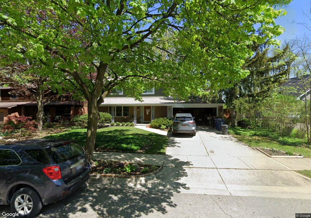
About This Home
This home is located at 2425 Powell Ave Unit Bldg-Unit, Ann Arbor, MI 48104 and is currently estimated at $624,601, approximately $312 per square foot. 2425 Powell Ave Unit Bldg-Unit is a home located in Washtenaw County with nearby schools including Pattengill Elementary School, Bryant Elementary School, and Tappan Middle School.
Ownership History
We collect this data history from publicly available records. To have your information removed, we recommend requesting removal directly through your county’s website.
Purchase Details
Home Financials for this Owner
Home Financials are based on the most recent Mortgage that was taken out on this home.Purchase Details
Home Values in the Area
Average Home Value in this Area
Purchase History
We collect this data history from publicly available records. To have your information removed, we recommend requesting removal directly through your county’s website.
| Date | Buyer | Sale Price | Title Company |
|---|---|---|---|
| $403,000 | Ata National Ttile Group Llc | ||
| -- | None Available |
Mortgage History
We collect this data history from publicly available records. To have your information removed, we recommend requesting removal directly through your county’s website.
| Date | Status | Borrower | Loan Amount |
|---|---|---|---|
| Open | $388,000 |
Tax History
We collect this data history from publicly available records. To have your information removed, we recommend requesting removal directly through your county’s website.
| Year | Tax Paid | Tax Assessment Tax Assessment Total Assessment is a certain percentage of the fair market value that is determined by local assessors to be the total taxable value of land and additions on the property. | Land | Improvement |
|---|---|---|---|---|
| 2025 | $9,157 | $243,300 | $0 | $0 |
| 2024 | $8,931 | $220,700 | $0 | $0 |
| 2023 | $8,235 | $193,400 | $0 | $0 |
| 2022 | $8,974 | $197,400 | $0 | $0 |
| 2021 | $8,762 | $191,800 | $0 | $0 |
| 2020 | $8,585 | $182,400 | $0 | $0 |
| 2019 | $8,170 | $165,300 | $165,300 | $0 |
| 2018 | $6,209 | $162,400 | $0 | $0 |
| 2017 | $6,040 | $155,900 | $0 | $0 |
| 2016 | $5,827 | $120,772 | $0 | $0 |
| 2015 | $5,549 | $120,411 | $0 | $0 |
| 2014 | $5,549 | $116,649 | $0 | $0 |
| 2013 | -- | $116,649 | $0 | $0 |
Map
- 2229 Needham Rd
- 2125 Needham Rd
- 2050 Camelot Rd
- 2230 Manchester Rd
- 2545 Powell Ave
- 2115 Nature Cove Ct Unit 108
- 2115 Nature Cove Ct Unit 308
- 2115 Nature Cove Ct Unit 210
- 2740 Manchester Rd
- 1908 Anderson Ave
- 1809 Independence Blvd Unit 15B
- 2407 Packard 43e St
- 1821 Sheridan Dr
- 2731 Canterbury Rd
- 2010 Ferdon Rd
- 2000 E Stadium Blvd
- 2722 Beacon Hill
- 1510 King George Blvd
- 2702 Cranbrook Rd
- 2316 Brockman Blvd
- 2240 Needham Rd
- 2234 Needham Rd
- 2302 Manchester Rd
- 2425 Powell Ave
- 2421 Powell Ave
- 2237 Needham Rd
- 2423 Powell Ave
- 2435 Powell Ave
- 2308 Manchester Rd
- 2222 Needham Rd
- 2301 Manchester Rd
- 2307 Manchester Rd
- 2145 Ridge Ave
- 2320 Manchester Rd
- 2287 Manchester Rd
- 2138 Ridge Ave
- 2276 Manchester Rd
- 2430 Powell Ave
- 2216 Needham Rd
- 2281 Manchester Rd
Ask me questions while you tour the home.