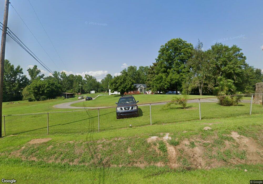
2429 Dovertown Rd Cordova, AL 35550
Estimated Value: $59,520 - $83,000
Studio
--
Bath
1,120
Sq Ft
$68/Sq Ft
Est. Value
About This Home
This home is located at 2429 Dovertown Rd, Cordova, AL 35550 and is currently estimated at $76,630, approximately $68 per square foot. 2429 Dovertown Rd is a home located in Walker County.
Ownership History
Date
Name
Owned For
Owner Type
Purchase Details
Closed on
Mar 27, 2020
Sold by
Holt Cary Mishae and Holt Justin Taylor
Bought by
Carroll Helen H and Carroll Helen D
Current Estimated Value
Purchase Details
Closed on
Oct 26, 2017
Sold by
Breed Timothy Dewayne and Breed Pamela Lynn
Bought by
Stewart Carly Mishae and Holt Justin Tayor
Home Financials for this Owner
Home Financials are based on the most recent Mortgage that was taken out on this home.
Original Mortgage
$39,275
Interest Rate
4.37%
Mortgage Type
FHA
Purchase Details
Closed on
Sep 5, 2011
Sold by
Shadinger Casandra Leeann Pate
Bought by
Breed Timothy Wayne and Breed Pamela Lynn
Create a Home Valuation Report for This Property
The Home Valuation Report is an in-depth analysis detailing your home's value as well as a comparison with similar homes in the area
Purchase History
| Date | Buyer | Sale Price | Title Company |
|---|---|---|---|
| Carroll Helen H | $54,900 | None Available | |
| Stewart Carly Mishae | $40,000 | None Available | |
| Breed Timothy Wayne | -- | -- |
Source: Public Records
Mortgage History
| Date | Status | Borrower | Loan Amount |
|---|---|---|---|
| Previous Owner | Stewart Carly Mishae | $39,275 |
Source: Public Records
Tax History
| Year | Tax Paid | Tax Assessment Tax Assessment Total Assessment is a certain percentage of the fair market value that is determined by local assessors to be the total taxable value of land and additions on the property. | Land | Improvement |
|---|---|---|---|---|
| 2024 | -- | $5,270 | $240 | $5,030 |
| 2023 | $0 | $5,270 | $240 | $5,030 |
| 2022 | $0 | $4,950 | $240 | $4,710 |
| 2021 | $67 | $4,484 | $240 | $4,244 |
| 2020 | $67 | $2,620 | $240 | $2,380 |
| 2019 | $67 | $2,620 | $240 | $2,380 |
| 2018 | $129 | $3,320 | $480 | $2,840 |
| 2017 | $129 | $3,320 | $480 | $2,840 |
| 2016 | $151 | $3,880 | $480 | $3,400 |
| 2015 | $151 | $3,880 | $480 | $3,400 |
| 2014 | $149 | $3,820 | $480 | $3,340 |
| 2013 | $136 | $3,480 | $480 | $3,000 |
Source: Public Records
Map
Nearby Homes
- 1694 Cordova-Gorgas Rd
- 00 Mt View Rd
- 868 Hoover Rd
- 646 Commerce Ave
- 4193 Mass Ave N
- 308 Doliska Rd
- 926 Doliska Rd
- 216 North St
- 249 Barton Chapel Loop Rd
- 90 Sperling Rd
- 69 Railroad Ave
- 0 Morgan Rd
- 0 Nethery Rd Unit 25-1815
- 2740 River Rd
- 800 Walker Cir
- 27 Piney Ridge St
- 0 Rivers Edge Trail
- 0 Rivers Edge Trail Unit 1,2,3,5
- 400 Rivers Edge Trail
- 42 Cottage Crossings
- 2429 Dovertown Rd
- 93 Barney Loop
- 356 Barney Loop
- 2212 Dovertown Rd
- 2212 Dovertown Rd
- 350 Barney Loop
- 448 Barney Loop
- 131 Old Ferry Rd
- 2194 Dovertown Rd
- 2099 Dovertown Rd
- 117 Eustice Rd
- 140 Eustice Rd
- 1945 Dovertown Rd
- 1757 Dovertown Rd
- 1719 Dovertown Rd
- 201 Church Rd
- 1629 Dovertown Rd
- 276 Church Rd
- 158 Church St
- 152 Gurganus Rd
Your Personal Tour Guide
Ask me questions while you tour the home.