24293 E Fork Rd Laurelville, OH 43135
Estimated Value: $100,000 - $433,000
2
Beds
1
Bath
1,266
Sq Ft
$177/Sq Ft
Est. Value
About This Home
This home is located at 24293 E Fork Rd, Laurelville, OH 43135 and is currently estimated at $224,091, approximately $177 per square foot. 24293 E Fork Rd is a home located in Hocking County with nearby schools including Logan Elm High School.
Ownership History
Date
Name
Owned For
Owner Type
Purchase Details
Closed on
May 29, 2009
Sold by
Harper Diana S and Dillie Justin A
Bought by
Spauldding Kelly and Harper Robert
Current Estimated Value
Home Financials for this Owner
Home Financials are based on the most recent Mortgage that was taken out on this home.
Original Mortgage
$40,000
Outstanding Balance
$9,375
Interest Rate
4.83%
Mortgage Type
Future Advance Clause Open End Mortgage
Estimated Equity
$214,716
Purchase Details
Closed on
Sep 26, 2008
Sold by
Harper Diana S and Dillie Diana S
Bought by
Harper Diana S and Dillie Justin A
Create a Home Valuation Report for This Property
The Home Valuation Report is an in-depth analysis detailing your home's value as well as a comparison with similar homes in the area
Purchase History
| Date | Buyer | Sale Price | Title Company |
|---|---|---|---|
| Spauldding Kelly | $45,000 | None Available | |
| Harper Diana S | -- | None Available |
Source: Public Records
Mortgage History
| Date | Status | Borrower | Loan Amount |
|---|---|---|---|
| Open | Spauldding Kelly | $40,000 |
Source: Public Records
Tax History
| Year | Tax Paid | Tax Assessment Tax Assessment Total Assessment is a certain percentage of the fair market value that is determined by local assessors to be the total taxable value of land and additions on the property. | Land | Improvement |
|---|---|---|---|---|
| 2025 | $1,577 | $44,370 | $33,160 | $11,210 |
| 2024 | $1,117 | $27,540 | $16,770 | $10,770 |
| 2023 | $1,117 | $27,540 | $16,770 | $10,770 |
| 2022 | $1,157 | $27,540 | $16,770 | $10,770 |
| 2021 | $991 | $21,560 | $13,420 | $8,140 |
| 2020 | $1,002 | $21,560 | $13,420 | $8,140 |
| 2019 | $1,005 | $21,560 | $13,420 | $8,140 |
| 2018 | $814 | $16,840 | $9,150 | $7,690 |
| 2017 | $659 | $16,840 | $9,150 | $7,690 |
| 2016 | $651 | $16,840 | $9,150 | $7,690 |
| 2015 | $723 | $18,420 | $11,490 | $6,930 |
| 2014 | $723 | $18,420 | $11,490 | $6,930 |
| 2013 | $731 | $18,420 | $11,490 | $6,930 |
Source: Public Records
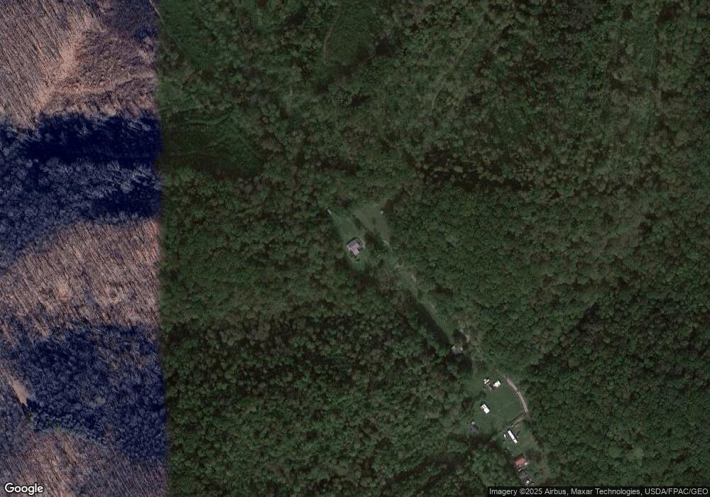
Map
Nearby Homes
- 0 Bellia Rd
- 24796 E Fork Rd
- 23584 Conrad Rd
- 24272 Conrad Rd
- 0 E Fork Rd
- 26702 E Fork Rd
- 22916 Sams Creek Rd
- 4 Sams Creek Rd
- 25602 Narrows Rd
- 20595 Happy Hollow Rd
- 21401 State Route 327
- 17452 State Route 327
- 17452 Ohio 327
- 2671 Bull Creek Rd
- 0 Luckhart Rd
- 0 SE Armstrong Rd Unit 226009021
- 0 Big Pine Rd
- 19990 Sowers Rd
- 22913 Goose Creek Rd
- 22997 Goose Creek Rd
- 24377 E Fork Rd
- 24394 E Fork Rd
- 24409 E Fork Rd
- 24465 E Fork Rd
- 24551 E Fork Rd
- 23881 Pole Ridge Rd
- 23573 Pole Ridge Rd
- 23877 Pole Ridge Rd
- 123873 Pole Ridge Rd
- 23873 Pole Ridge Rd
- 23885 Pole Ridge Rd
- 24651 Conrad Rd
- 24651 Conrad Rd
- 24230 Bellia Rd
- 23613 Pole Ridge Rd
- 24100 Bellia Rd
- 24705 E Fork Rd
- 23801 Pole Ridge Rd
- 23889 Pole Ridge Rd
- 23533 Pole Ridge Rd
Your Personal Tour Guide
Ask me questions while you tour the home.