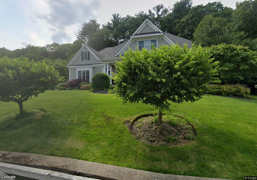
243 Dover Rd Westwood, MA 02090
Estimated Value: $1,903,000 - $2,262,000
4
Beds
5
Baths
4,170
Sq Ft
$501/Sq Ft
Est. Value
About This Home
This home is located at 243 Dover Rd, Westwood, MA 02090 and is currently estimated at $2,091,246, approximately $501 per square foot. 243 Dover Rd is a home located in Norfolk County with nearby schools including Westwood High School, St Catherine Of Siena School, and Xaverian Brothers High School.
Ownership History
Date
Name
Owned For
Owner Type
Purchase Details
Closed on
Jan 25, 2023
Sold by
Camiolo Andrea and Camiolo Donna M
Bought by
Andrea Camiolo Lt
Current Estimated Value
Purchase Details
Closed on
Apr 13, 2011
Sold by
Est Howard Ethel M and Howard Charles
Bought by
Camiolo Andrea and Camiolo Donna M
Purchase Details
Closed on
Oct 26, 2006
Sold by
Howard Charles and Howard Jane H
Bought by
Howard Ethel M
Create a Home Valuation Report for This Property
The Home Valuation Report is an in-depth analysis detailing your home's value as well as a comparison with similar homes in the area
Home Values in the Area
Average Home Value in this Area
Purchase History
| Date | Buyer | Sale Price | Title Company |
|---|---|---|---|
| Andrea Camiolo Lt | -- | None Available | |
| Camiolo Andrea | $475,000 | -- | |
| Howard Ethel M | -- | -- |
Source: Public Records
Tax History
| Year | Tax Paid | Tax Assessment Tax Assessment Total Assessment is a certain percentage of the fair market value that is determined by local assessors to be the total taxable value of land and additions on the property. | Land | Improvement |
|---|---|---|---|---|
| 2025 | $22,387 | $1,749,000 | $597,600 | $1,151,400 |
| 2024 | $23,360 | $1,823,600 | $569,200 | $1,254,400 |
| 2023 | $19,881 | $1,390,300 | $474,500 | $915,800 |
| 2022 | $19,349 | $1,304,750 | $419,600 | $885,150 |
| 2021 | $18,220 | $1,232,750 | $399,600 | $833,150 |
| 2020 | $18,275 | $1,259,450 | $399,600 | $859,850 |
| 2019 | $17,361 | $1,185,050 | $380,400 | $804,650 |
| 2018 | $19,080 | $1,264,400 | $380,400 | $884,000 |
| 2017 | $18,016 | $1,236,500 | $380,400 | $856,100 |
| 2016 | $17,370 | $1,184,850 | $380,400 | $804,450 |
| 2015 | $17,825 | $1,169,650 | $380,400 | $789,250 |
Source: Public Records
Map
Nearby Homes
- 615-R High St
- 18 Longmeadow Dr
- 26 Longmeadow Dr
- 39 Bayley St
- 401 Sandy Valley Rd
- 162 Far Reach Rd
- 298 Summer St
- 429 Summer St
- 49 Powisset St
- 85 Strawberry Hill St
- 69 Abbey Rd Unit 69
- 223 Robert Rd
- 77 Booth Rd
- 137 Robert Rd
- 11 Briarwood Dr
- 250 Meadowbrook Rd
- 262 Meadowbrook Rd
- 85 Schoolmaster Ln
- 115 Cobleigh St
- 6 Pheasant Hill St
Your Personal Tour Guide
Ask me questions while you tour the home.