243 E Main St Pilot Rock, OR 97868
Estimated Value: $158,000 - $184,000
2
Beds
2
Baths
840
Sq Ft
$204/Sq Ft
Est. Value
About This Home
This home is located at 243 E Main St, Pilot Rock, OR 97868 and is currently estimated at $170,945, approximately $203 per square foot. 243 E Main St is a home located in Umatilla County with nearby schools including Pilot Rock Elementary School and Pilot Rock High School.
Ownership History
Date
Name
Owned For
Owner Type
Purchase Details
Closed on
Jul 1, 2021
Sold by
White Halo Llc
Bought by
Graymer Properties Llc
Current Estimated Value
Purchase Details
Closed on
Mar 27, 2013
Sold by
Winks Edward Glen and Winks Edward Glenn
Bought by
Hascall Jeremy
Home Financials for this Owner
Home Financials are based on the most recent Mortgage that was taken out on this home.
Original Mortgage
$72,448
Interest Rate
3.49%
Mortgage Type
New Conventional
Purchase Details
Closed on
Aug 22, 2012
Sold by
Hale Kevin L and Blanc David M
Bought by
White Halo Llc
Create a Home Valuation Report for This Property
The Home Valuation Report is an in-depth analysis detailing your home's value as well as a comparison with similar homes in the area
Purchase History
| Date | Buyer | Sale Price | Title Company |
|---|---|---|---|
| Graymer Properties Llc | $94,000 | None Available | |
| Hascall Jeremy | $71,000 | Amerititle | |
| White Halo Llc | -- | None Available |
Source: Public Records
Mortgage History
| Date | Status | Borrower | Loan Amount |
|---|---|---|---|
| Previous Owner | Hascall Jeremy | $72,448 |
Source: Public Records
Tax History
| Year | Tax Paid | Tax Assessment Tax Assessment Total Assessment is a certain percentage of the fair market value that is determined by local assessors to be the total taxable value of land and additions on the property. | Land | Improvement |
|---|---|---|---|---|
| 2025 | $1,355 | $79,420 | $19,870 | $59,550 |
| 2024 | $1,331 | $77,110 | $19,290 | $57,820 |
| 2023 | $1,304 | $74,870 | $18,720 | $56,150 |
| 2022 | $1,239 | $72,690 | $0 | $0 |
| 2021 | $1,242 | $70,580 | $17,650 | $52,930 |
| 2020 | $1,131 | $68,530 | $17,140 | $51,390 |
| 2018 | $1,026 | $64,610 | $16,160 | $48,450 |
| 2017 | $1,026 | $62,730 | $15,690 | $47,040 |
| 2016 | $1,011 | $60,910 | $15,230 | $45,680 |
| 2015 | $994 | $55,750 | $13,940 | $41,810 |
| 2014 | $962 | $55,750 | $13,940 | $41,810 |
Source: Public Records
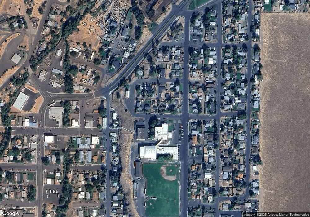
Map
Nearby Homes
- 611 SW Birch St
- 665 NE Fir St
- 44743 McKay Creek Rd
- 46054 McKay Creek Rd
- 70349 Lakeside Rd
- 43765 Buckboard Trail Rd
- 000 Motanic Rd
- 70981 SW Douglas Dr
- 0000 County 1031 Rd
- 71642 SW Park Ln
- 42997 Haney Ln
- 4214 SW Vista Ave
- 904 SW 43rd St
- 4203 SW Sheridan Ave
- 4297 SW Runnion Ct
- 1536 SW 44th St
- 1829 SW Athens Ave
- 0 SW 2nd St Unit 263926795
- 0 SW Quinney Ln Unit 24414661
- 0 SW Quinney Place
- 253 E Main St
- 211 E Main St
- 252 NE 2nd St
- 226 NE 2nd St
- 119 NE Cherry St
- 210 NE 2nd St
- 135 NE Cherry St
- 181 NE Cherry St
- 165 NE Cherry St
- 243 NE 2nd St
- 227 NE 2nd St
- 253A NE 2nd St
- 120 NE Cherry St
- 134 NE Cherry St
- 253 NE 2nd St
- 203 NE 2nd St
- 219 NE Cherry St
- 180 NE Cherry St
- 118 N Alder St
- 156 NE Cherry St
Your Personal Tour Guide
Ask me questions while you tour the home.