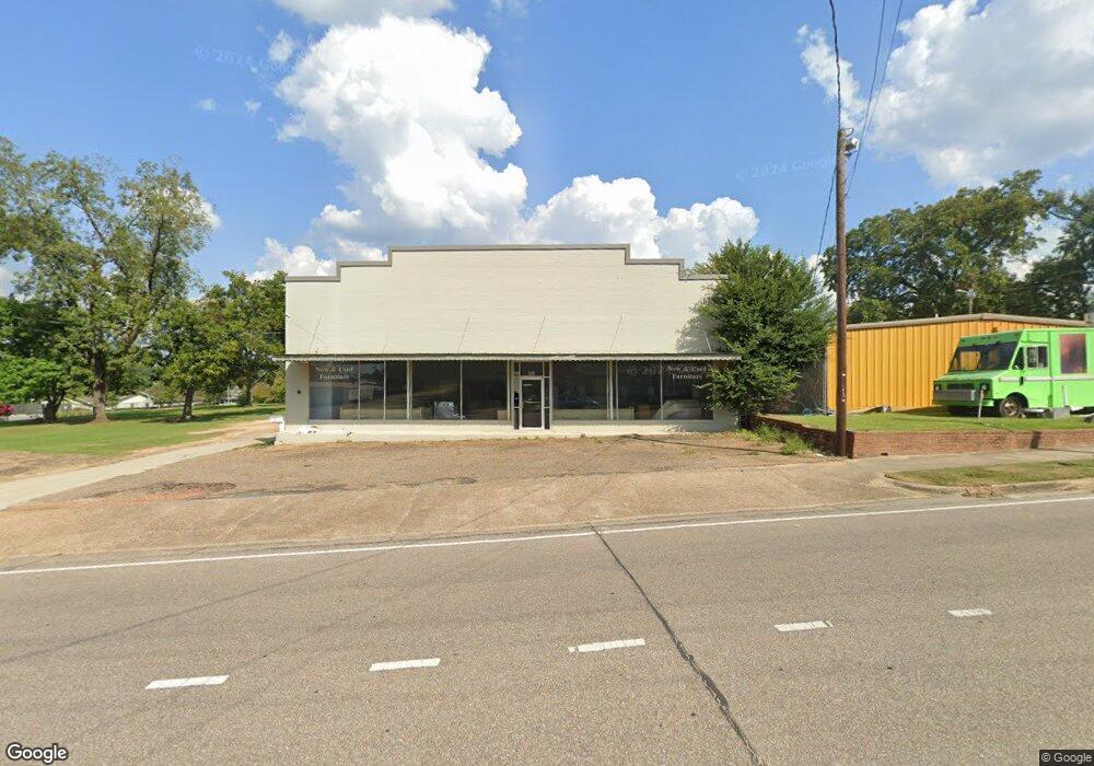
243 S Saint Andrews St Dothan, AL 36301
Estimated Value: $483,422
Studio
--
Bath
9,934
Sq Ft
$49/Sq Ft
Est. Value
About This Home
This home is located at 243 S Saint Andrews St, Dothan, AL 36301 and is currently estimated at $483,422, approximately $48 per square foot. 243 S Saint Andrews St is a home located in Houston County with nearby schools including Dothan City Early Education Center, Girard Elementary School, and Dothan 6th Grade Center.
Ownership History
Date
Name
Owned For
Owner Type
Purchase Details
Closed on
Oct 25, 2016
Sold by
Tidwell Furniture Llc
Bought by
Friend Bank
Current Estimated Value
Purchase Details
Closed on
Sep 25, 2014
Sold by
Southeast Construction Services Llc
Bought by
Tidwell Furniture Llc
Home Financials for this Owner
Home Financials are based on the most recent Mortgage that was taken out on this home.
Original Mortgage
$253,187
Interest Rate
4.16%
Mortgage Type
Commercial
Create a Home Valuation Report for This Property
The Home Valuation Report is an in-depth analysis detailing your home's value as well as a comparison with similar homes in the area
Purchase History
| Date | Buyer | Sale Price | Title Company |
|---|---|---|---|
| Friend Bank | -- | -- | |
| Tidwell Furniture Llc | $251,349 | -- |
Source: Public Records
Mortgage History
| Date | Status | Borrower | Loan Amount |
|---|---|---|---|
| Previous Owner | Tidwell Furniture Llc | $253,187 |
Source: Public Records
Tax History
| Year | Tax Paid | Tax Assessment Tax Assessment Total Assessment is a certain percentage of the fair market value that is determined by local assessors to be the total taxable value of land and additions on the property. | Land | Improvement |
|---|---|---|---|---|
| 2025 | -- | $46,260 | $0 | $0 |
| 2024 | $1,596 | $46,260 | $0 | $0 |
| 2023 | $1,596 | $46,260 | $0 | $0 |
| 2022 | $1,596 | $46,260 | $0 | $0 |
| 2021 | $1,596 | $46,260 | $0 | $0 |
| 2020 | $1,343 | $38,920 | $0 | $0 |
| 2019 | $1,343 | $38,920 | $0 | $0 |
| 2018 | $1,343 | $38,920 | $0 | $0 |
| 2017 | $1,132 | $32,820 | $0 | $0 |
| 2016 | $1,132 | $0 | $0 | $0 |
| 2015 | $1,132 | $0 | $0 | $0 |
| 2014 | -- | $0 | $0 | $0 |
Source: Public Records
Map
Nearby Homes
- 512 S College St
- 503 Dusy St
- 604 E Lafayette St
- 605 Collier St
- 732 S Saint Andrews St
- 737 S Saint Andrews St
- 412 N Range St
- 605 E Newton St
- 0 U S Highway 84 E
- 804 Dusy St
- 607 Arlington Ave
- 706 Westmead St
- 973 S Saint Andrews St
- 711 Westmead St
- 241 Headland Ave
- 500 Pine St
- 1202 E Adams St
- 1114 Hamilton St
- 1207 E Burdeshaw St
- 474 Webb Rd
- 257 S Saint Andrews St
- 202 E Crawford St
- 206 E Crawford St
- 208 W Crawford St
- 277 S Saint Andrews St
- 193 S Saint Andrews St Unit 20
- 193 S Saint Andrews St Unit 13
- 193 S Saint Andrews St Unit 11
- 193 S Saint Andrews St Unit 16
- 193 S Saint Andrews St Unit 2
- 193 S Saint Andrews St Unit 3
- 193 S Saint Andrews St Unit 18
- 193 S Saint Andrews St Unit 4
- 193 S Saint Andrews St Unit 17
- 193 S Saint Andrews St Unit 5
- 193 S Saint Andrews St
- 246 S Saint Andrews St
- 205 E Washington St
- 206 S Appletree St
- 212 S Appletree St
Your Personal Tour Guide
Ask me questions while you tour the home.