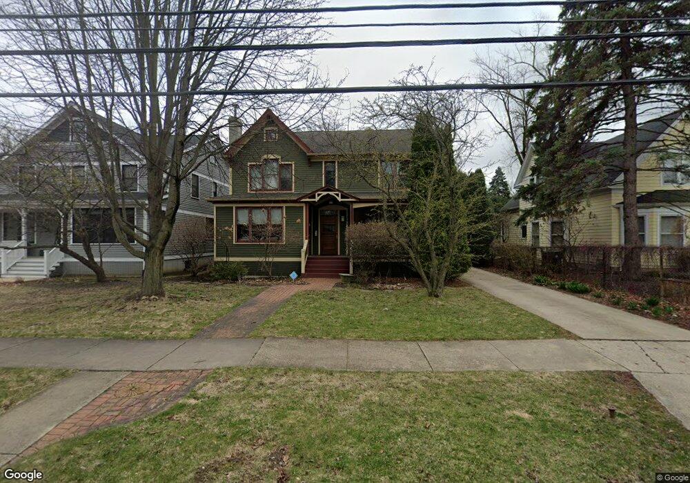
2430 Simpson St Evanston, IL 60201
North Evanston NeighborhoodEstimated Value: $1,055,000 - $1,253,000
About This Home
This home is located at 2430 Simpson St, Evanston, IL 60201 and is currently estimated at $1,127,577, approximately $376 per square foot. 2430 Simpson St is a home located in Cook County with nearby schools including Lincolnwood Elementary School, Haven Middle School, and Evanston Township High School.
Ownership History
We collect this data history from publicly available records. To have your information removed, we recommend requesting removal directly through your county’s website.
Purchase Details
Home Financials for this Owner
Home Financials are based on the most recent Mortgage that was taken out on this home.Purchase Details
Purchase Details
Home Financials for this Owner
Home Financials are based on the most recent Mortgage that was taken out on this home.Purchase Details
Purchase Details
Home Values in the Area
Average Home Value in this Area
Purchase History
We collect this data history from publicly available records. To have your information removed, we recommend requesting removal directly through your county’s website.
| Date | Buyer | Sale Price | Title Company |
|---|---|---|---|
| $875,000 | Cti | ||
| -- | -- | ||
| $599,000 | -- | ||
| $4,000,000 | -- | ||
| -- | -- |
Mortgage History
We collect this data history from publicly available records. To have your information removed, we recommend requesting removal directly through your county’s website.
| Date | Status | Borrower | Loan Amount |
|---|---|---|---|
| Open | $743,750 | ||
| Previous Owner | $479,200 |
Tax History
We collect this data history from publicly available records. To have your information removed, we recommend requesting removal directly through your county’s website.
| Year | Tax Paid | Tax Assessment Tax Assessment Total Assessment is a certain percentage of the fair market value that is determined by local assessors to be the total taxable value of land and additions on the property. | Land | Improvement |
|---|---|---|---|---|
| 2025 | $17,447 | $110,000 | $17,280 | $92,720 |
| 2024 | $17,447 | $75,383 | $16,200 | $59,183 |
| 2023 | $16,716 | $75,383 | $16,200 | $59,183 |
| 2022 | $16,716 | $75,383 | $16,200 | $59,183 |
| 2021 | $18,554 | $73,245 | $10,800 | $62,445 |
| 2020 | $18,366 | $73,245 | $10,800 | $62,445 |
| 2019 | $18,034 | $80,401 | $10,800 | $69,601 |
| 2018 | $18,266 | $70,106 | $9,000 | $61,106 |
| 2017 | $17,805 | $70,106 | $9,000 | $61,106 |
| 2016 | $18,018 | $73,695 | $9,000 | $64,695 |
| 2015 | $20,464 | $78,943 | $7,560 | $71,383 |
| 2014 | $20,284 | $78,943 | $7,560 | $71,383 |
| 2013 | $19,801 | $78,943 | $7,560 | $71,383 |
Map
- 2026 Mcdaniel Ave
- 2314 Simpson St
- 2724 Simpson St
- 1915 - 2 Grant St
- 1915 - 12 Grant St
- 1836 Hartrey Ave
- 2100 Forestview Rd
- 2201 Lincolnwood Dr
- 1727 Mcdaniel Ave Unit A
- 1832 Hovland Ct
- 2021 Grant St
- 2323 Grey Ave
- 1715 Hartrey Ave
- 1901 Emerson St
- 9435 Central Park Ave
- 9222 Ewing Ave Unit 102
- 2311 Brown Ave
- 9550 Central Park Ave
- 1724 Hovland Ct
- 1915 Grant St
- 2426 Simpson St
- 2436 Simpson St
- 4 Martha Ln
- 5 Martha Ln
- 3 Martha Ln
- 2042 Hawthorne Ln
- 2048 Hawthorne Ln
- 2038 Hawthorne Ln
- 2034 Hawthorne Ln
- 6 Martha Ln
- 2 Martha Ln
- 2433 Simpson St
- 2103 Mcdaniel Ave
- 2429 Simpson St
- 2437 Simpson St
- 2030 Hawthorne Ln
- 2425 Simpson St
- 2510 Simpson St
- 2107 Mcdaniel Ave
- 2421 Simpson St
Ask me questions while you tour the home.