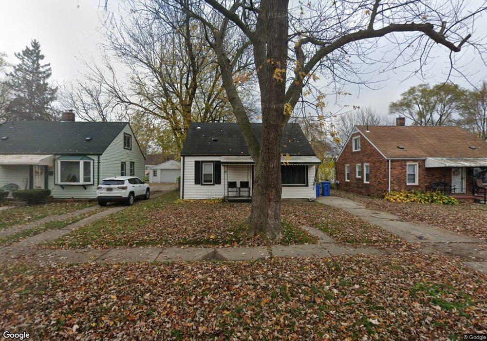
24388 Powers Ave Unit Bldg-Unit Dearborn Heights, MI 48125
Estimated Value: $118,526 - $139,000
About This Home
This home is located at 24388 Powers Ave Unit Bldg-Unit, Dearborn Heights, MI 48125 and is currently estimated at $124,632, approximately $139 per square foot. 24388 Powers Ave Unit Bldg-Unit is a home located in Wayne County with nearby schools including Quest Charter Academy.
Ownership History
We collect this data history from publicly available records. To have your information removed, we recommend requesting removal directly through your county’s website.
Purchase Details
Home Financials for this Owner
Home Financials are based on the most recent Mortgage that was taken out on this home.Purchase Details
Purchase Details
Home Values in the Area
Average Home Value in this Area
Purchase History
We collect this data history from publicly available records. To have your information removed, we recommend requesting removal directly through your county’s website.
| Date | Buyer | Sale Price | Title Company |
|---|---|---|---|
| $85,000 | -- | ||
| $40,000 | Title One Inc | ||
| -- | -- |
Mortgage History
We collect this data history from publicly available records. To have your information removed, we recommend requesting removal directly through your county’s website.
| Date | Status | Borrower | Loan Amount |
|---|---|---|---|
| Open | $63,750 |
Tax History
We collect this data history from publicly available records. To have your information removed, we recommend requesting removal directly through your county’s website.
| Year | Tax Paid | Tax Assessment Tax Assessment Total Assessment is a certain percentage of the fair market value that is determined by local assessors to be the total taxable value of land and additions on the property. | Land | Improvement |
|---|---|---|---|---|
| 2025 | $2,056 | $53,400 | $0 | $0 |
| 2024 | $1,976 | $47,400 | $0 | $0 |
| 2023 | $1,796 | $41,000 | $0 | $0 |
| 2022 | $2,582 | $35,400 | $0 | $0 |
| 2021 | $2,050 | $30,900 | $0 | $0 |
| 2019 | $1,454 | $24,200 | $0 | $0 |
| 2018 | $933 | $21,400 | $0 | $0 |
| 2017 | $984 | $21,400 | $0 | $0 |
| 2016 | $1,348 | $21,700 | $0 | $0 |
| 2015 | $2,020 | $20,200 | $0 | $0 |
| 2013 | $2,090 | $21,700 | $0 | $0 |
| 2010 | -- | $25,500 | $0 | $0 |
Map
- 24339 Eton Ave
- 24605 Eton Ave
- 24045 Currier St
- 24300 McDonald St
- 00 S Telegraph Rd
- 4910 Westpoint St
- 4856 Carolee Ln
- 24759 Hopkins St
- 24127 Lehigh St
- 24026 Hopkins St
- 5871 Cooper St
- 5635 Westpoint St
- 0 Hopkins St
- 24425 Stanford St
- 24056 Lehigh St
- 25220 Pennie St
- 24095 Stanford St
- 5953 Cooper St
- 5689 Cornell St
- 24047 Stanford St
- 24388 Powers Ave
- 24396 Powers Ave
- 24380 Powers Ave
- 24370 Powers Ave
- 24414 Powers Ave
- 24405 Pennie St
- 24389 Pennie St
- 24413 Pennie St
- 24381 Pennie St
- 24362 Powers Ave
- 24422 Powers Ave
- 24401 Powers Ave Unit Bldg-Unit
- 24401 Powers Ave
- 24421 Pennie St
- 24389 Powers Ave
- 24381 Powers Ave
- 24413 Powers Ave
- 24432 Powers Ave
- 24429 Pennie St
- 24369 Pennie St
Ask me questions while you tour the home.