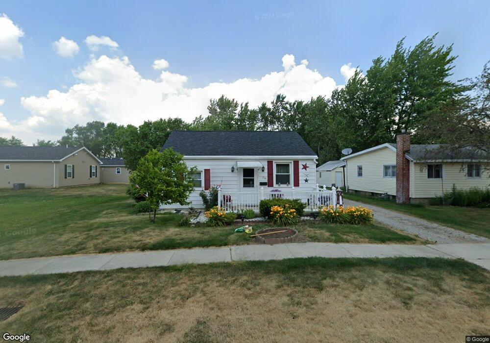
244 Maple St Wauseon, OH 43567
Estimated Value: $110,000 - $130,000
2
Beds
1
Bath
1,300
Sq Ft
$93/Sq Ft
Est. Value
About This Home
This home is located at 244 Maple St, Wauseon, OH 43567 and is currently estimated at $121,480, approximately $93 per square foot. 244 Maple St is a home located in Fulton County with nearby schools including Wauseon Primary School, Wauseon Elementary School, and Wauseon Middle School.
Ownership History
Date
Name
Owned For
Owner Type
Purchase Details
Closed on
Aug 11, 2011
Sold by
Blair Harold L and Blair Barbara J
Bought by
Blair Harold L and Harold L & Barbara Jean Blair Revocable
Current Estimated Value
Purchase Details
Closed on
Oct 31, 2003
Sold by
Leisure Rentals Ltd
Bought by
Blair Harold L and Blair Barbara J
Purchase Details
Closed on
Jan 1, 1990
Bought by
Blair Harold L and Blair Barbara
Create a Home Valuation Report for This Property
The Home Valuation Report is an in-depth analysis detailing your home's value as well as a comparison with similar homes in the area
Home Values in the Area
Average Home Value in this Area
Purchase History
| Date | Buyer | Sale Price | Title Company |
|---|---|---|---|
| Blair Harold L | -- | Attorney | |
| Blair Harold L | -- | -- | |
| Blair Harold L | -- | -- |
Source: Public Records
Tax History
| Year | Tax Paid | Tax Assessment Tax Assessment Total Assessment is a certain percentage of the fair market value that is determined by local assessors to be the total taxable value of land and additions on the property. | Land | Improvement |
|---|---|---|---|---|
| 2024 | $1,006 | $31,050 | $7,280 | $23,770 |
| 2023 | $1,057 | $31,050 | $7,280 | $23,770 |
| 2022 | $873 | $23,670 | $6,060 | $17,610 |
| 2021 | $932 | $23,670 | $6,060 | $17,610 |
| 2020 | $858 | $23,670 | $6,060 | $17,610 |
| 2019 | $783 | $22,130 | $6,060 | $16,070 |
| 2018 | $664 | $22,130 | $6,060 | $16,070 |
| 2017 | $656 | $22,130 | $6,060 | $16,070 |
| 2016 | $611 | $19,500 | $6,060 | $13,440 |
| 2015 | $572 | $19,500 | $6,060 | $13,440 |
| 2014 | $545 | $19,500 | $6,060 | $13,440 |
| 2013 | $666 | $20,970 | $5,460 | $15,510 |
Source: Public Records
Map
Nearby Homes
- 212 Jefferson St
- 0 Cole (Rear) St Unit 10006039
- 203 E Oak St
- 351 E Walnut St
- 316 E Oak St
- 1338 N Park Ln
- 625 Hemlock St
- 252 W Chestnut St
- 150 N Shoop Ave
- 231 W Chestnut St
- 263 W Chestnut St
- 0 N Glenwood Ave
- 594 Douglas Dr
- 420 Clover Ln
- 14578 U S 20a
- 460 Airport Hwy
- 635 E Leggett St
- 744 Fairway Dr Unit 29
- 744 Fairway Dr Unit 26
- 749 Parkside Dr
- 242 Maple St
- 908 Zenobia St
- 238 Maple St
- 910 Zenobia St
- 236 Maple St
- 228 Maple St
- 243 W Linfoot St
- 243 Maple St
- 231 W Linfoot St
- 247 W Linfoot St
- 257 Maple St
- 226 Maple St
- 229 W Linfoot St
- 237 Maple St
- 0 E Linfoot St Unit 4525026
- 0 E Linfoot St Unit 4601734
- 235 Maple St
- 935 Zenobia St
- 227 Maple St
- 824 Zenobia St
Your Personal Tour Guide
Ask me questions while you tour the home.