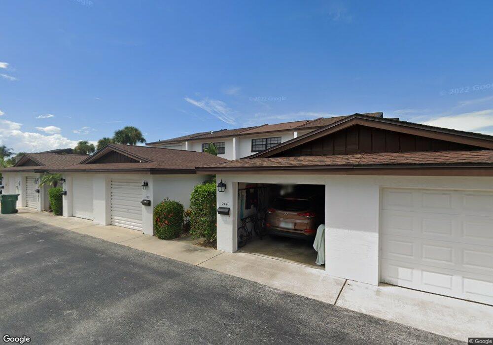
244 Queens Ct Unit 60 Satellite Beach, FL 32937
Estimated Value: $316,512 - $397,000
3
Beds
2
Baths
1,530
Sq Ft
$226/Sq Ft
Est. Value
About This Home
This home is located at 244 Queens Ct Unit 60, Satellite Beach, FL 32937 and is currently estimated at $346,378, approximately $226 per square foot. 244 Queens Ct Unit 60 is a home located in Brevard County with nearby schools including Surfside Elementary School, Satellite Senior High School, and DeLaura Middle School.
Ownership History
Date
Name
Owned For
Owner Type
Purchase Details
Closed on
Jun 23, 2015
Sold by
Lugg Peter James and Lugg Lidia
Bought by
Lugg Lugg Peter James Peter James and Lugg Peter James
Current Estimated Value
Purchase Details
Closed on
Jun 10, 2004
Sold by
Lugg Peter J
Bought by
Lugg Peter J and Aparicio Lidia
Purchase Details
Closed on
Jul 18, 2000
Sold by
Davis Anne Bedier
Bought by
Lugg Peter J
Home Financials for this Owner
Home Financials are based on the most recent Mortgage that was taken out on this home.
Original Mortgage
$62,000
Interest Rate
8.3%
Create a Home Valuation Report for This Property
The Home Valuation Report is an in-depth analysis detailing your home's value as well as a comparison with similar homes in the area
Home Values in the Area
Average Home Value in this Area
Purchase History
| Date | Buyer | Sale Price | Title Company |
|---|---|---|---|
| Lugg Lugg Peter James Peter James | -- | Attorney | |
| Lugg Peter J | -- | -- | |
| Lugg Peter J | $77,500 | -- |
Source: Public Records
Mortgage History
| Date | Status | Borrower | Loan Amount |
|---|---|---|---|
| Previous Owner | Lugg Peter J | $62,000 |
Source: Public Records
Tax History
| Year | Tax Paid | Tax Assessment Tax Assessment Total Assessment is a certain percentage of the fair market value that is determined by local assessors to be the total taxable value of land and additions on the property. | Land | Improvement |
|---|---|---|---|---|
| 2025 | $1,479 | $116,550 | -- | -- |
| 2024 | $1,441 | $113,270 | -- | -- |
| 2023 | $1,441 | $109,980 | $0 | $0 |
| 2022 | $1,329 | $106,780 | $0 | $0 |
| 2021 | $1,351 | $103,670 | $0 | $0 |
| 2020 | $1,340 | $102,240 | $0 | $0 |
| 2019 | $1,321 | $99,950 | $0 | $0 |
| 2018 | $1,313 | $98,090 | $0 | $0 |
| 2017 | $1,224 | $96,080 | $0 | $0 |
| 2016 | $1,219 | $94,110 | $40,000 | $54,110 |
| 2015 | $1,246 | $93,460 | $40,000 | $53,460 |
| 2014 | $1,243 | $92,720 | $35,000 | $57,720 |
Source: Public Records
Map
Nearby Homes
- 229 Kings Way
- 240 Greenway Ave
- 0000 Cassia Blvd
- 270 Cinnamon Dr
- 172 Skyline Blvd
- 118 Skyline Cir
- 485 Temple St
- 360 Cassia Blvd
- 366 Ocean Spray Ave
- 169 Glenwood Ave
- 1395 Jimmy Buffett Memorial Hwy Unit 203
- 1405 Jimmy Buffett Memorial Hwy Unit 402
- 1405 Highway A1a Unit 202
- 1455 Highway A1a Unit 507
- 1455 Jimmy Buffett Memorial Hwy Unit 511
- 310 Glenwood Ave
- 1465 Highway A1a Unit 506
- 321 Cherry Dr
- 542 Coconut St
- 550 Temple St
- 250 Queens Ct
- 260 Queens Ct Unit 63
- 264 Queens Ct
- 245 Kings Way
- 249 Kings Way
- 234 Queens Ct
- 259 Kings Way
- 255 Kings Way Unit Bldg.13
- 265 Kings Way Unit 265
- 265 Kings Way
- 269 Kings Way
- 230 Queens Ct
- 239 Kings Way
- 224 Queens Ct
- 270 Queens Ct
- 124 Ocean Spray Ave
- 235 Kings Way
- 220 Queens Ct
- 122 Ocean Spray Ave
- 274 Queens Ct
Your Personal Tour Guide
Ask me questions while you tour the home.