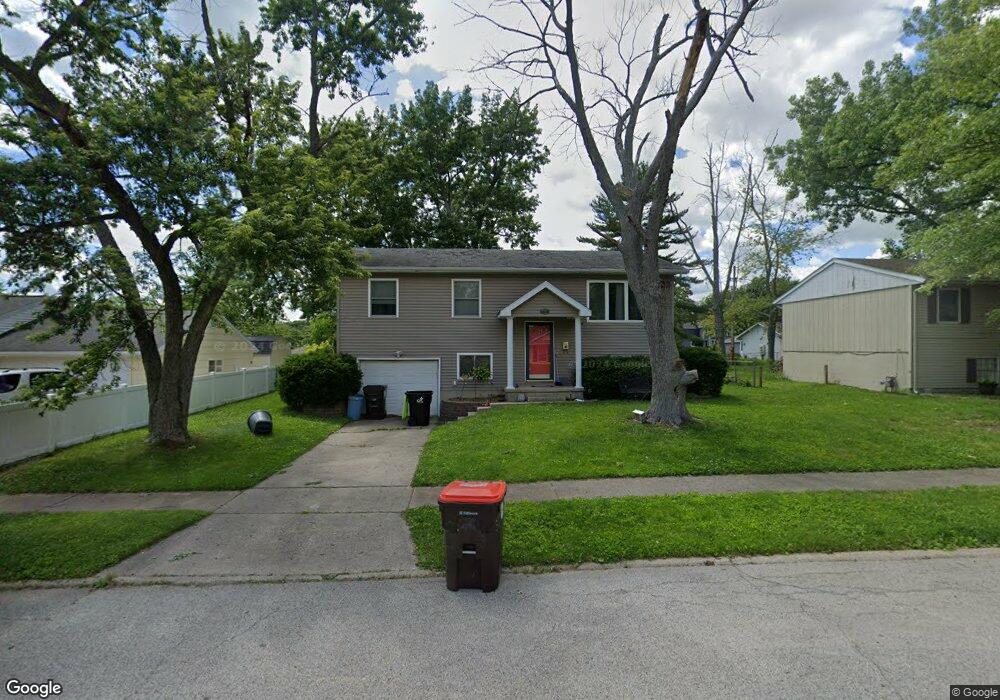
2447 Quail Dr Decatur, IL 62521
Greenlake NeighborhoodEstimated Value: $110,766 - $135,000
Studio
1
Bath
988
Sq Ft
$123/Sq Ft
Est. Value
About This Home
This home is located at 2447 Quail Dr, Decatur, IL 62521 and is currently estimated at $121,942, approximately $123 per square foot. 2447 Quail Dr is a home located in Macon County with nearby schools including McGaughey Elementary School, Mt. Zion Elementary School, and Mt. Zion Intermediate School.
Ownership History
Date
Name
Owned For
Owner Type
Purchase Details
Closed on
Aug 31, 2006
Sold by
Lillpop Mark W and Lillpop Kimberly A
Bought by
Stewart Kevin
Current Estimated Value
Home Financials for this Owner
Home Financials are based on the most recent Mortgage that was taken out on this home.
Original Mortgage
$78,000
Outstanding Balance
$47,097
Interest Rate
6.77%
Mortgage Type
New Conventional
Estimated Equity
$74,845
Purchase Details
Closed on
Aug 1, 1999
Create a Home Valuation Report for This Property
The Home Valuation Report is an in-depth analysis detailing your home's value as well as a comparison with similar homes in the area
Home Values in the Area
Average Home Value in this Area
Purchase History
| Date | Buyer | Sale Price | Title Company |
|---|---|---|---|
| Stewart Kevin | $87,500 | None Available | |
| -- | $69,000 | -- |
Source: Public Records
Mortgage History
| Date | Status | Borrower | Loan Amount |
|---|---|---|---|
| Open | Stewart Kevin | $78,000 |
Source: Public Records
Tax History
| Year | Tax Paid | Tax Assessment Tax Assessment Total Assessment is a certain percentage of the fair market value that is determined by local assessors to be the total taxable value of land and additions on the property. | Land | Improvement |
|---|---|---|---|---|
| 2024 | $2,619 | $34,986 | $4,705 | $30,281 |
| 2023 | $2,487 | $32,509 | $4,372 | $28,137 |
| 2022 | $2,336 | $30,566 | $4,111 | $26,455 |
| 2021 | $2,252 | $28,977 | $3,897 | $25,080 |
| 2020 | $2,154 | $27,695 | $3,725 | $23,970 |
| 2019 | $2,154 | $27,695 | $3,725 | $23,970 |
| 2018 | $2,074 | $27,088 | $3,643 | $23,445 |
| 2017 | $2,050 | $26,754 | $3,598 | $23,156 |
| 2016 | $2,052 | $26,738 | $3,596 | $23,142 |
| 2015 | $1,984 | $26,395 | $3,550 | $22,845 |
| 2014 | $1,894 | $26,395 | $3,550 | $22,845 |
| 2013 | $1,903 | $26,395 | $3,550 | $22,845 |
Source: Public Records
Map
Nearby Homes
- 2457 S Marquette Ct
- 2555 Rachels Way
- 3153 Greenlake Dr
- 3210 Fields Ct
- 2940 Lewallen Place
- 3523 Hyman Dr
- 3010 E Orchard Dr
- 1916 S Lynnwood Dr
- 13 Southern Dr
- 1729 S Montrose Ave
- 4190 S Lake Ct
- 3421 E Leafdale Ave
- 3254 E Fulton Ave
- 2833 S Glenwood Dr
- 2685 Lake Reunion Pkwy
- 1745 S 44th St
- 14 Brierwood Dr
- Lot 93 Lake Reunion Pkwy
- Lot 94 Lake Reunion Pkwy
- 15 Brierwood Dr
- 2459 Quail Dr
- 2435 Quail Dr
- 3440 Fontenac Ct
- 3480 Fontenac Dr
- 3480 Fontenac Ct
- 2446 Quail Dr
- 2434 Quail Dr
- 3458 Fontenac Ct
- 2422 Quail Dr
- 2409 Quail Dr
- 2470 Quail Dr
- 2408 Quail Dr
- 3481 Fontenac Ct
- 2451 De Loach Ct
- 3461 Fontenac Ct
- 2463 De Loach Ct
- 3420 Fontenac Ct
- 3481 Fontenac Dr
- 3491 Fontenac Ct
- 2439 De Loach Ct
Your Personal Tour Guide
Ask me questions while you tour the home.