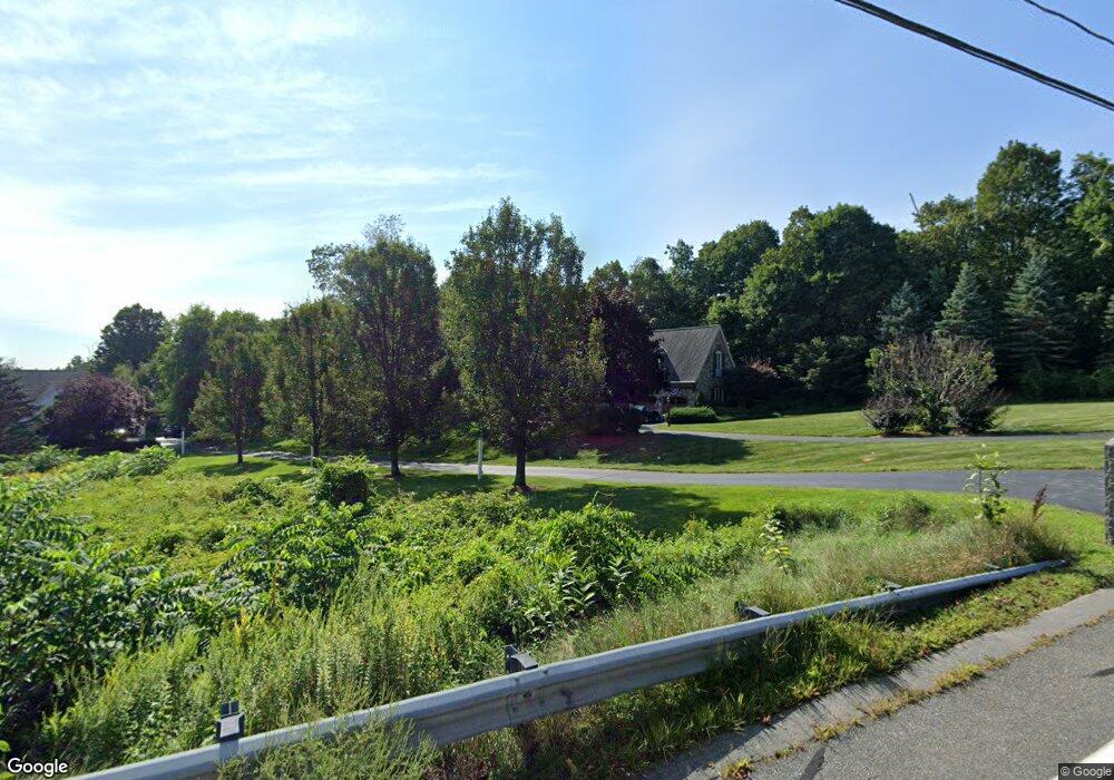
245 Maple St West Boylston, MA 01583
Estimated Value: $914,790 - $987,000
3
Beds
4
Baths
3,694
Sq Ft
$257/Sq Ft
Est. Value
About This Home
This home is located at 245 Maple St, West Boylston, MA 01583 and is currently estimated at $949,698, approximately $257 per square foot. 245 Maple St is a home located in Worcester County with nearby schools including Major Edwards Elementary School, West Boylston Junior/Senior High School, and Abby Kelley Foster Charter Public School.
Ownership History
Date
Name
Owned For
Owner Type
Purchase Details
Closed on
May 3, 2021
Sold by
Carney Laura L and Didio John J
Bought by
Ingram Bethany M and Gancarz Brett J
Current Estimated Value
Home Financials for this Owner
Home Financials are based on the most recent Mortgage that was taken out on this home.
Original Mortgage
$581,600
Outstanding Balance
$526,251
Interest Rate
3%
Mortgage Type
Purchase Money Mortgage
Estimated Equity
$423,447
Purchase Details
Closed on
Aug 31, 2004
Sold by
Carney Laura L
Bought by
Didio John J and Carney Laura L
Purchase Details
Closed on
Jul 15, 2002
Sold by
Maple Rlty Inc
Bought by
Carney Laura L
Home Financials for this Owner
Home Financials are based on the most recent Mortgage that was taken out on this home.
Original Mortgage
$111,920
Interest Rate
6.79%
Mortgage Type
Purchase Money Mortgage
Create a Home Valuation Report for This Property
The Home Valuation Report is an in-depth analysis detailing your home's value as well as a comparison with similar homes in the area
Home Values in the Area
Average Home Value in this Area
Purchase History
We collect this data history from publicly available records. To have your information removed, we recommend requesting removal directly through your county’s website.
| Date | Buyer | Sale Price | Title Company |
|---|---|---|---|
| Ingram Bethany M | $727,000 | None Available | |
| Didio John J | -- | -- | |
| Carney Laura L | $139,900 | -- |
Source: Public Records
Mortgage History
We collect this data history from publicly available records. To have your information removed, we recommend requesting removal directly through your county’s website.
| Date | Status | Borrower | Loan Amount |
|---|---|---|---|
| Open | Ingram Bethany M | $581,600 | |
| Previous Owner | Carney Laura L | $111,920 |
Source: Public Records
Tax History
| Year | Tax Paid | Tax Assessment Tax Assessment Total Assessment is a certain percentage of the fair market value that is determined by local assessors to be the total taxable value of land and additions on the property. | Land | Improvement |
|---|---|---|---|---|
| 2025 | $132 | $951,400 | $133,200 | $818,200 |
| 2024 | $12,548 | $849,000 | $135,400 | $713,600 |
| 2023 | $11,870 | $761,900 | $133,200 | $628,700 |
| 2022 | $12,473 | $705,500 | $133,200 | $572,300 |
| 2021 | $12,187 | $660,200 | $110,500 | $549,700 |
| 2020 | $11,280 | $607,100 | $110,500 | $496,600 |
| 2019 | $10,946 | $580,700 | $110,500 | $470,200 |
| 2018 | $10,352 | $553,000 | $110,500 | $442,500 |
| 2017 | $10,222 | $543,700 | $110,500 | $433,200 |
| 2016 | $10,072 | $545,900 | $103,100 | $442,800 |
| 2015 | $9,993 | $544,900 | $102,300 | $442,600 |
Source: Public Records
Map
Nearby Homes
- 25 Kings Mountain Dr
- 16 Oxford St
- 14 Angell Brook Dr
- 149 Woodland St
- 7 Darrow St
- 152 Worcester St Unit 4
- 59 Castine St
- 402 Prospect St
- 239 Woodland St Unit 3
- 6 Idalla Ave
- 38 Juniper Ln
- 10 Malden St
- 6 Church St
- 29R E Mountain St
- 328 Brooks St
- 6 Tucker St
- 521 Burncoat St
- 15 Birmingham Rd
- 3 Greenwood St
- 3 Enaya Cir
Your Personal Tour Guide
Ask me questions while you tour the home.