245 Riverbend Cir Royston, GA 30662
Estimated Value: $421,000 - $538,000
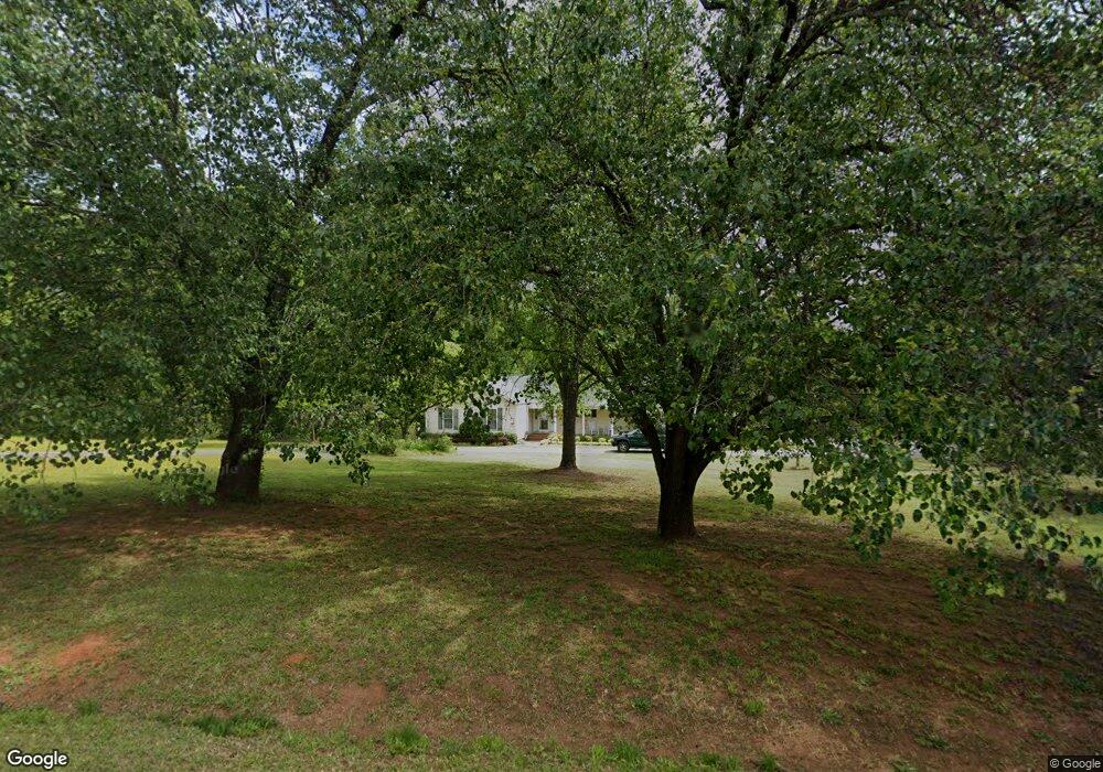
About This Home
This home is located at 245 Riverbend Cir, Royston, GA 30662 and is currently estimated at $459,615, approximately $146 per square foot. 245 Riverbend Cir is a home located in Franklin County with nearby schools including Franklin County High School.
Ownership History
We collect this data history from publicly available records. To have your information removed, we recommend requesting removal directly through your county’s website.
Purchase Details
Home Financials for this Owner
Home Financials are based on the most recent Mortgage that was taken out on this home.Purchase Details
Purchase Details
Purchase Details
Purchase Details
Purchase History
We collect this data history from publicly available records. To have your information removed, we recommend requesting removal directly through your county’s website.
| Date | Buyer | Sale Price | Title Company |
|---|---|---|---|
| $349,900 | -- | ||
| $185,000 | -- | ||
| -- | -- | ||
| $175,000 | -- | ||
| $120,000 | -- |
Mortgage History
We collect this data history from publicly available records. To have your information removed, we recommend requesting removal directly through your county’s website.
| Date | Status | Borrower | Loan Amount |
|---|---|---|---|
| Open | $279,920 |
Tax History
We collect this data history from publicly available records. To have your information removed, we recommend requesting removal directly through your county’s website.
| Year | Tax Paid | Tax Assessment Tax Assessment Total Assessment is a certain percentage of the fair market value that is determined by local assessors to be the total taxable value of land and additions on the property. | Land | Improvement |
|---|---|---|---|---|
| 2025 | $3,525 | $152,536 | $30,480 | $122,056 |
| 2024 | $3,299 | $138,605 | $24,384 | $114,221 |
| 2023 | $3,317 | $128,580 | $24,384 | $104,196 |
| 2022 | $3,082 | $119,445 | $24,384 | $95,061 |
| 2021 | $2,124 | $97,216 | $17,443 | $79,773 |
| 2020 | $2,165 | $87,871 | $17,443 | $70,428 |
| 2019 | $2,092 | $87,871 | $17,443 | $70,428 |
| 2018 | $1,804 | $77,145 | $17,443 | $59,702 |
| 2017 | $1,780 | $73,733 | $17,443 | $56,290 |
| 2016 | $1,645 | $66,362 | $17,443 | $48,919 |
| 2015 | -- | $57,020 | $8,101 | $48,919 |
| 2014 | -- | $57,020 | $8,101 | $48,919 |
| 2013 | -- | $57,761 | $8,100 | $49,660 |
Map
- 80 Riverbend Cir
- 329 Riverbend Dr
- 5019 U S 29
- 0 Dove Hill Rd Unit 25439972
- 0 Dove Hill Rd Unit 10637645
- 5354 Highway 29
- 0 S Tanglewood Dr Unit 10698868
- 0 S Tanglewood Dr Unit CL348900
- 597 Meadow Brook Ln
- 2394 W Main St
- 195 Reno Rd
- 15 James Way
- 41 College Heights
- 285 Wolf Den Rd
- 61 College Hgts Place
- 0 Ada St Unit 10757044
- 232 Brad St
- 1898 Sandy Cross Rd
- 224 Brad St
- 1190 James Adams Rd
- 285 Riverbend Cir
- 225 Riverbend Cir
- 222 Riverbend Cir
- 130 Riverbend Cir
- 365 Riverbend Cir
- 406 Riverbend Cir
- 85 Riverbend Cir
- 1095 Bond Bridge Rd
- 440 Riverbend Dr
- 65 River Bend Dr
- 65 Riverbend Cir
- 191 River Bend Dr
- 191 Riverbend Cir
- 1080 Bond Bridge Rd
- 1 River Bend Dr
- 1200 Bond Bridge Rd
- 340 River Bend Dr
- 929 Bond Bridge Rd
- 927 Bond Bridge Rd
- 0 Bond Bridge Rd Unit 2 7162767
Ask me questions while you tour the home.