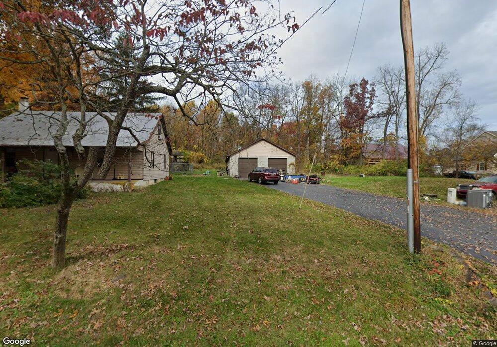
245 Thundergust Mill Rd Wellsville, PA 17365
Warrington NeighborhoodEstimated Value: $262,847 - $302,000
4
Beds
1
Bath
1,165
Sq Ft
$240/Sq Ft
Est. Value
About This Home
This home is located at 245 Thundergust Mill Rd, Wellsville, PA 17365 and is currently estimated at $279,462, approximately $239 per square foot. 245 Thundergust Mill Rd is a home located in York County with nearby schools including Northern Middle School and Northern High School.
Ownership History
Date
Name
Owned For
Owner Type
Purchase Details
Closed on
Mar 15, 2016
Sold by
Stoll John J
Bought by
Stoll Debora K
Current Estimated Value
Purchase Details
Closed on
May 27, 2003
Sold by
Stoll John J and Stoll Debora K
Bought by
Stoll John J and Stoll Debora K
Home Financials for this Owner
Home Financials are based on the most recent Mortgage that was taken out on this home.
Original Mortgage
$66,500
Interest Rate
5.83%
Mortgage Type
Purchase Money Mortgage
Purchase Details
Closed on
Jul 27, 1995
Bought by
Stoll John J
Create a Home Valuation Report for This Property
The Home Valuation Report is an in-depth analysis detailing your home's value as well as a comparison with similar homes in the area
Home Values in the Area
Average Home Value in this Area
Purchase History
| Date | Buyer | Sale Price | Title Company |
|---|---|---|---|
| Stoll Debora K | -- | None Available | |
| Stoll John J | -- | -- | |
| Stoll John J | $79,900 | -- |
Source: Public Records
Mortgage History
| Date | Status | Borrower | Loan Amount |
|---|---|---|---|
| Closed | Stoll John J | $66,500 |
Source: Public Records
Tax History
| Year | Tax Paid | Tax Assessment Tax Assessment Total Assessment is a certain percentage of the fair market value that is determined by local assessors to be the total taxable value of land and additions on the property. | Land | Improvement |
|---|---|---|---|---|
| 2025 | $3,203 | $117,580 | $43,640 | $73,940 |
| 2024 | $3,168 | $117,580 | $43,640 | $73,940 |
| 2023 | $3,105 | $117,580 | $43,640 | $73,940 |
| 2022 | $3,039 | $117,580 | $43,640 | $73,940 |
| 2021 | $2,841 | $117,580 | $43,640 | $73,940 |
| 2020 | $2,773 | $117,580 | $43,640 | $73,940 |
| 2019 | $2,703 | $117,580 | $43,640 | $73,940 |
| 2018 | $2,645 | $117,580 | $43,640 | $73,940 |
| 2017 | $2,645 | $117,580 | $43,640 | $73,940 |
| 2016 | $0 | $117,580 | $43,640 | $73,940 |
| 2015 | -- | $117,580 | $43,640 | $73,940 |
| 2014 | -- | $117,580 | $43,640 | $73,940 |
Source: Public Records
Map
Nearby Homes
- 120 Buttercup Ln
- 600 (AND 580) Ridge Rd
- 172 Wellsville Rd
- 375 Mount Zion Rd
- 127 Conley Rd
- 107 W Ridge Rd
- 6331 Old Carlisle Rd
- 950 W Spring Valley Rd
- 6200 Old Carlisle Rd
- 5 Glencarron Ct
- 935 Silver Lake Rd
- 1565 Old Mountain Rd
- 708 Bencru Ave
- 833 Stonybrook Ln
- 525 Andersontown Rd
- 0 Pin Oak 5br Plan at the Seasons Unit PAYK2097018
- 9421 Carlisle Rd
- 800 Garriston Rd
- 883 Siddonsburg Rd
- 0 Crone Rd Unit PAYK2100526
- 205 Thundergust Mill Rd
- 295 Thundergust Mill Rd
- 175 Thundergust Mill Rd
- 305 Thundergust Mill Rd
- 125 Thundergust Mill Rd
- 315 Thundergust Mill Rd
- 255 Thundergust Mill Rd
- 325 Thundergust Mill Rd
- 265 Thundergust Mill Rd
- 420 Thundergust Mill Rd
- 105 Thundergust Mill Rd
- 395 Thunder Gust Mill Rd
- 0 Squire Gratz Rd
- 275 Thundergust Mill Rd
- 405 Thundergust Mill Rd
- 155 Squire Gratz Rd
- 425 Thunder Gust Mill Rd
- 425 Thundergust Mill Rd
- 118 Buttercup Ln
- 239 Thundergust Mill Rd
Your Personal Tour Guide
Ask me questions while you tour the home.