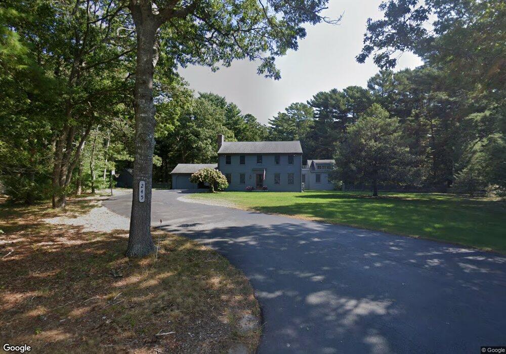
245 Waquoit Rd Cotuit, MA 02635
Cotuit NeighborhoodEstimated Value: $948,000 - $1,334,000
4
Beds
2
Baths
2,424
Sq Ft
$466/Sq Ft
Est. Value
About This Home
This home is located at 245 Waquoit Rd, Cotuit, MA 02635 and is currently estimated at $1,129,402, approximately $465 per square foot. 245 Waquoit Rd is a home located in Barnstable County with nearby schools including West Villages Elementary School, Barnstable United Elementary School, and Barnstable Intermediate School.
Ownership History
Date
Name
Owned For
Owner Type
Purchase Details
Closed on
Dec 2, 2009
Sold by
Donovan John E and Donovan Mary P
Bought by
Cotuit Waquoit Road Rt
Current Estimated Value
Create a Home Valuation Report for This Property
The Home Valuation Report is an in-depth analysis detailing your home's value as well as a comparison with similar homes in the area
Home Values in the Area
Average Home Value in this Area
Purchase History
| Date | Buyer | Sale Price | Title Company |
|---|---|---|---|
| Cotuit Waquoit Road Rt | -- | -- |
Source: Public Records
Tax History
| Year | Tax Paid | Tax Assessment Tax Assessment Total Assessment is a certain percentage of the fair market value that is determined by local assessors to be the total taxable value of land and additions on the property. | Land | Improvement |
|---|---|---|---|---|
| 2025 | $6,556 | $785,100 | $203,000 | $582,100 |
| 2024 | $5,936 | $753,300 | $203,000 | $550,300 |
| 2023 | $5,625 | $672,100 | $200,600 | $471,500 |
| 2022 | $5,284 | $511,000 | $142,700 | $368,300 |
| 2021 | $3,910 | $481,900 | $142,700 | $339,200 |
| 2020 | $5,198 | $443,900 | $152,100 | $291,800 |
| 2019 | $5,275 | $444,000 | $152,100 | $291,900 |
| 2018 | $3,293 | $422,500 | $166,800 | $255,700 |
| 2017 | $4,895 | $414,800 | $166,800 | $248,000 |
| 2016 | $4,826 | $419,300 | $171,300 | $248,000 |
| 2015 | $4,776 | $414,600 | $158,800 | $255,800 |
Source: Public Records
Map
Nearby Homes
- 311 Waquoit Rd
- 640 Poponessett Rd
- 6 Cedar St
- 6 Cedar St
- 640 Poponessett Rd
- 85 Clamshell Cove Rd
- 353 Simons Narrows Rd
- 30 Wings Ln
- 1081 Main St
- 28 Quaker Run Rd
- 11 Teal Cir
- 181 School St
- 15 Riverview Ave Unit D
- 15 Riverview Ave Unit D
- 239 Clamshell Cove Rd
- 35 Spinnaker Dr W
- 925 Main St Unit 3
- 239 Oxford Dr
- 11 Dry Hollow Ln
- 33 Oyster Place Rd
- 255 Waquoit Rd
- 109 Waquoit Rd
- 250 Waquoit Rd
- 42 Waquoit Rd
- 0 Waquoit Rd
- 89 Waquoit Rd
- 271 Waquoit Rd
- 290 Waquoit Rd
- 259 Pine Ridge Rd
- 71 Waquoit Rd
- 110 Waquoit Rd
- 285 Pine Ridge Rd
- 90 Waquoit Rd
- 314 Waquoit Rd
- 70 Waquoit Rd
- 252 Pine Ridge Rd
- 309 Pine Ridge Rd
- 272 Pine Ridge Rd
- 189 Rushy Marsh Rd
- 236 Pine Ridge Rd
Your Personal Tour Guide
Ask me questions while you tour the home.