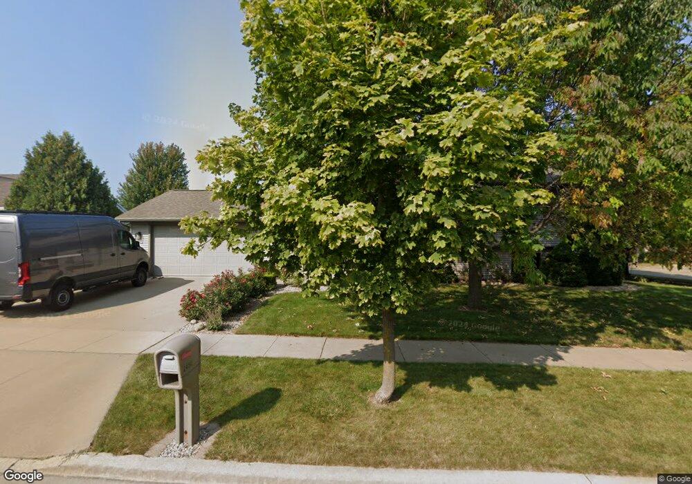
2450 Security Dr Oshkosh, WI 54904
Estimated Value: $362,000 - $371,000
About This Home
This home is located at 2450 Security Dr, Oshkosh, WI 54904 and is currently estimated at $368,399, approximately $184 per square foot. 2450 Security Dr is a home located in Winnebago County with nearby schools including Franklin Elementary School, Tipler Middle School, and West High School.
Ownership History
We collect this data history from publicly available records. To have your information removed, we recommend requesting removal directly through your county’s website.
Purchase Details
Purchase Details
Home Financials for this Owner
Home Financials are based on the most recent Mortgage that was taken out on this home.Purchase History
We collect this data history from publicly available records. To have your information removed, we recommend requesting removal directly through your county’s website.
| Date | Buyer | Sale Price | Title Company |
|---|---|---|---|
| $209,900 | None Available | ||
| $185,000 | None Available |
Mortgage History
We collect this data history from publicly available records. To have your information removed, we recommend requesting removal directly through your county’s website.
| Date | Status | Borrower | Loan Amount |
|---|---|---|---|
| Previous Owner | $148,000 |
Tax History
We collect this data history from publicly available records. To have your information removed, we recommend requesting removal directly through your county’s website.
| Year | Tax Paid | Tax Assessment Tax Assessment Total Assessment is a certain percentage of the fair market value that is determined by local assessors to be the total taxable value of land and additions on the property. | Land | Improvement |
|---|---|---|---|---|
| 2025 | $5,528 | $306,400 | $39,700 | $266,700 |
| 2024 | $5,528 | $306,400 | $39,700 | $266,700 |
| 2023 | $4,906 | $176,600 | $30,500 | $146,100 |
| 2022 | $4,890 | $176,600 | $30,500 | $146,100 |
| 2021 | $4,588 | $176,600 | $30,500 | $146,100 |
| 2020 | $4,404 | $176,600 | $30,500 | $146,100 |
| 2019 | $5,052 | $176,600 | $30,500 | $146,100 |
| 2018 | $4,989 | $176,600 | $30,500 | $146,100 |
| 2017 | $4,398 | $176,600 | $30,500 | $146,100 |
| 2016 | $4,611 | $181,300 | $30,500 | $150,800 |
| 2015 | $4,483 | $181,300 | $30,500 | $150,800 |
| 2014 | $4,523 | $181,300 | $30,500 | $150,800 |
| 2013 | $4,529 | $181,300 | $30,500 | $150,800 |
Map
- 2420 Noel Ct
- 2457 Blake Ct
- 2645 Havenwood Dr Unit A
- 2240 Meadowbrook Ct Unit D
- 2206 Meadowbrook Ct Unit A
- 765 N Washburn St
- 1250 Conrad St
- 3009 Omro Rd
- 920 S Westhaven Dr
- 1115 Sawtell Ct
- 960 Maricopa Dr
- 70 Overland Trail
- 2721 W 9th Ave
- 1040 Maricopa Dr
- 1015 Maricopa Dr
- 1743 Oshkosh Ave
- 1519 Adams Ave
- 1051 S Oakwood Rd
- 0 Quail Run Dr Unit 50290410
- 0 Quail Run Dr Unit 50290411
- 2460 Security Dr
- 439 Sunnybrook Dr
- 2491 Security Dr
- 2480 Security Dr
- 398 Sunnybrook Dr
- 397 Sunnybrook Dr
- 424 Sunnybrook Dr
- 453 Sunnybrook Dr
- 436 Sunnybrook Dr
- 2461 Security Dr
- 412 Sunnybrook Dr
- 448 Sunnybrook Dr
- 2471 Security Dr
- 392 Sunnybrook Dr
- 2485 Security Dr
- 2490 Security Dr
- 467 Sunnybrook Dr
- 460 Sunnybrook Dr
- 391 Sunnybrook Dr
- 472 Sunnybrook Dr
Ask me questions while you tour the home.