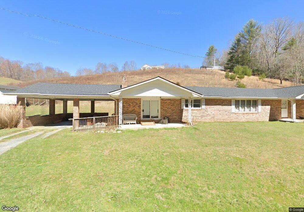
2452 Long Branch Rd Lansing, NC 28643
Estimated Value: $260,000 - $358,000
Studio
--
Bath
2,654
Sq Ft
$112/Sq Ft
Est. Value
About This Home
This home is located at 2452 Long Branch Rd, Lansing, NC 28643 and is currently estimated at $297,000, approximately $111 per square foot. 2452 Long Branch Rd is a home with nearby schools including Ashe County High School.
Ownership History
Date
Name
Owned For
Owner Type
Purchase Details
Closed on
Jun 29, 2018
Sold by
Turnmire Nancy T and Turnmire Jeffery A
Bought by
Cancro Robert and Cancro Jenny
Current Estimated Value
Home Financials for this Owner
Home Financials are based on the most recent Mortgage that was taken out on this home.
Original Mortgage
$150,100
Outstanding Balance
$130,084
Interest Rate
4.5%
Mortgage Type
Purchase Money Mortgage
Estimated Equity
$166,916
Purchase Details
Closed on
Mar 30, 2007
Sold by
Eldreth Jerry Lee and Eldreth Gail S
Bought by
Eldreth David J and Eldreth Nancy T
Create a Home Valuation Report for This Property
The Home Valuation Report is an in-depth analysis detailing your home's value as well as a comparison with similar homes in the area
Home Values in the Area
Average Home Value in this Area
Purchase History
| Date | Buyer | Sale Price | Title Company |
|---|---|---|---|
| Cancro Robert | $158,000 | -- | |
| Eldreth David J | -- | -- |
Source: Public Records
Mortgage History
| Date | Status | Borrower | Loan Amount |
|---|---|---|---|
| Open | Cancro Robert | $150,100 |
Source: Public Records
Tax History
| Year | Tax Paid | Tax Assessment Tax Assessment Total Assessment is a certain percentage of the fair market value that is determined by local assessors to be the total taxable value of land and additions on the property. | Land | Improvement |
|---|---|---|---|---|
| 2025 | $1,097 | $209,300 | $22,800 | $186,500 |
| 2024 | $1,055 | $209,300 | $22,800 | $186,500 |
| 2023 | $1,055 | $209,300 | $22,800 | $186,500 |
| 2022 | $862 | $124,900 | $19,300 | $105,600 |
| 2021 | $862 | $124,900 | $19,300 | $105,600 |
| 2020 | $778 | $124,900 | $19,300 | $105,600 |
| 2019 | $763 | $124,900 | $19,300 | $105,600 |
| 2018 | $790 | $134,500 | $19,300 | $115,200 |
| 2016 | $766 | $134,500 | $19,300 | $115,200 |
| 2015 | $784 | $134,500 | $19,300 | $115,200 |
| 2014 | $784 | $153,500 | $19,300 | $134,200 |
Source: Public Records
Map
Nearby Homes
- 979 Wagon Rd
- 979 Wagon Rd Unit 6-8
- 325 Sawyers Rd
- tbd E Little Horse Creek Rd
- 303 Sugar Tree Rd
- Lot 9 Oak Green Dr
- 6383 Nc 88 W Hwy
- Tbd Jc Norton Rd
- 18103 N Carolina 194
- TBD W Mill Creek Rd
- 5212 Nc Highway 88 W
- 1369 Anderson Hill Rd
- TBD Immaculate Heart Way
- 6553 N Carolina 194
- 410 River Dr
- TBD Copeland Rd
- 234 Pioneer Trails Rd SE
- 262 River Landing Way
- TBD Mcneil Rd
- 253 Bobby Rash Rd
- 2396 Long Branch Rd
- 2448 Long Branch Rd
- 2358 Long Branch Rd
- 2450 Long Branch Rd
- 2239 Long Branch Rd
- 2188 Long Branch Rd
- 1894 Long Branch Rd
- 2295 Long Branch Rd
- 2561 Long Branch Rd
- 2208 Long Branch Rd
- 2155 Long Branch Rd
- 1384 E Staggs Creek Rd
- 158 Colt Creek Rd
- 272 Monroe Miller Rd
- 179 Monroe Miller Rd
- 1958 Long Branch Rd
- 372 Colt Creek Rd
- 271 Monroe Miller Rd
- 366 Monroe Miller Rd
- 1280 E Stagg Creek
Your Personal Tour Guide
Ask me questions while you tour the home.