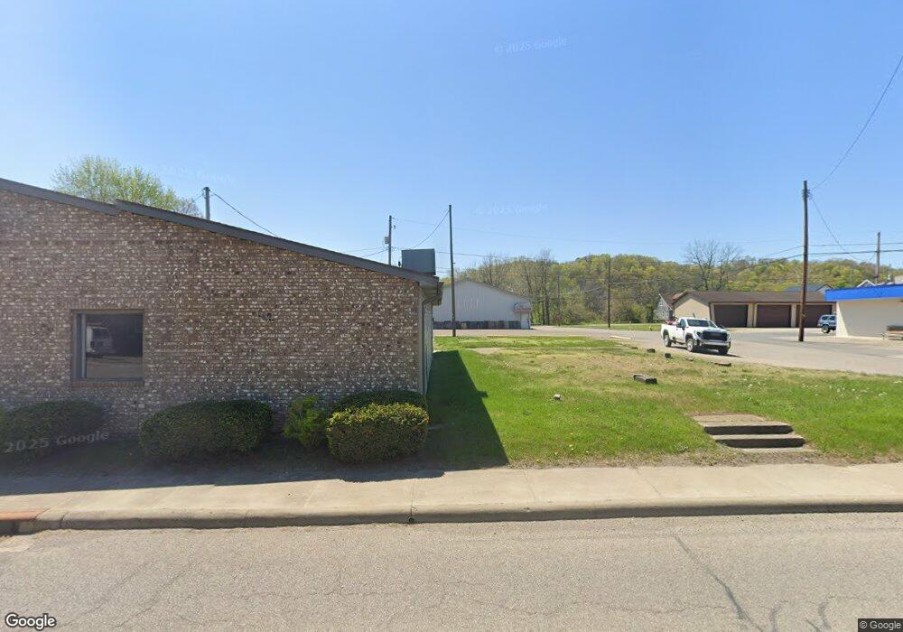
246 Main St Duncan Falls, OH 43734
Studio
--
Bath
2,000
Sq Ft
7,187
Sq Ft Lot
About This Home
This home is located at 246 Main St, Duncan Falls, OH 43734. 246 Main St is a home located in Muskingum County with nearby schools including Philo High School.
Ownership History
Date
Name
Owned For
Owner Type
Purchase Details
Closed on
Nov 5, 2025
Sold by
Duncan Falls Lease Properties Llc
Bought by
Butler & Cash Properties Llc
Purchase Details
Closed on
Feb 25, 2016
Bought by
Duncan Falls Lease Properties Llc
Purchase Details
Closed on
Jan 9, 2012
Sold by
Williams Grocery & Carryout Llc
Bought by
Department Of Transportation
Purchase Details
Closed on
Jun 25, 2007
Sold by
Baker Raymond E
Bought by
Williams Grocery & Carryout Llc
Home Financials for this Owner
Home Financials are based on the most recent Mortgage that was taken out on this home.
Original Mortgage
$148,400
Interest Rate
6.26%
Mortgage Type
Commercial
Create a Home Valuation Report for This Property
The Home Valuation Report is an in-depth analysis detailing your home's value as well as a comparison with similar homes in the area
Purchase History
| Date | Buyer | Sale Price | Title Company |
|---|---|---|---|
| Butler & Cash Properties Llc | $115,000 | None Listed On Document | |
| Duncan Falls Lease Properties Llc | -- | -- | |
| Department Of Transportation | $300 | Attorney | |
| Williams Grocery & Carryout Llc | $175,900 | Attorney |
Source: Public Records
Mortgage History
| Date | Status | Borrower | Loan Amount |
|---|---|---|---|
| Previous Owner | Williams Grocery & Carryout Llc | $148,400 |
Source: Public Records
Tax History
| Year | Tax Paid | Tax Assessment Tax Assessment Total Assessment is a certain percentage of the fair market value that is determined by local assessors to be the total taxable value of land and additions on the property. | Land | Improvement |
|---|---|---|---|---|
| 2025 | $196 | $3,325 | $2,660 | $665 |
| 2024 | $139 | $3,325 | $2,660 | $665 |
| 2023 | $118 | $2,660 | $2,660 | $0 |
| 2022 | $115 | $2,660 | $2,660 | $0 |
| 2021 | $113 | $2,660 | $2,660 | $0 |
| 2020 | $113 | $2,660 | $2,660 | $0 |
| 2019 | $113 | $2,660 | $2,660 | $0 |
| 2018 | $122 | $2,590 | $2,590 | $0 |
| 2017 | $124 | $2,590 | $2,590 | $0 |
| 2016 | $123 | $2,590 | $2,590 | $0 |
| 2015 | $125 | $2,590 | $2,590 | $0 |
| 2013 | $143 | $2,630 | $2,630 | $0 |
Source: Public Records
Map
Nearby Homes
- 243 Mill St
- 385 Water St
- 134 Main St
- 512 North St
- 535 Wheeler Dr
- 252 Front St
- 960 3rd St
- 6625 S River Rd
- 3100 Durant Rd
- 4145 Old River Rd
- 3345 Durant Rd
- 0 Sealover Hollow Rd
- 2630 Wilhelm Rd
- 7305 Dietrick Hill Rd
- 1685 Fattler Ridge Rd
- 7555 Dietrick Hill Rd
- 3900 Chandlersville Rd
- 3060 Wayne Ridge Rd
- 2519 Frick Dr
- 8285 Old River Rd
Your Personal Tour Guide
Ask me questions while you tour the home.