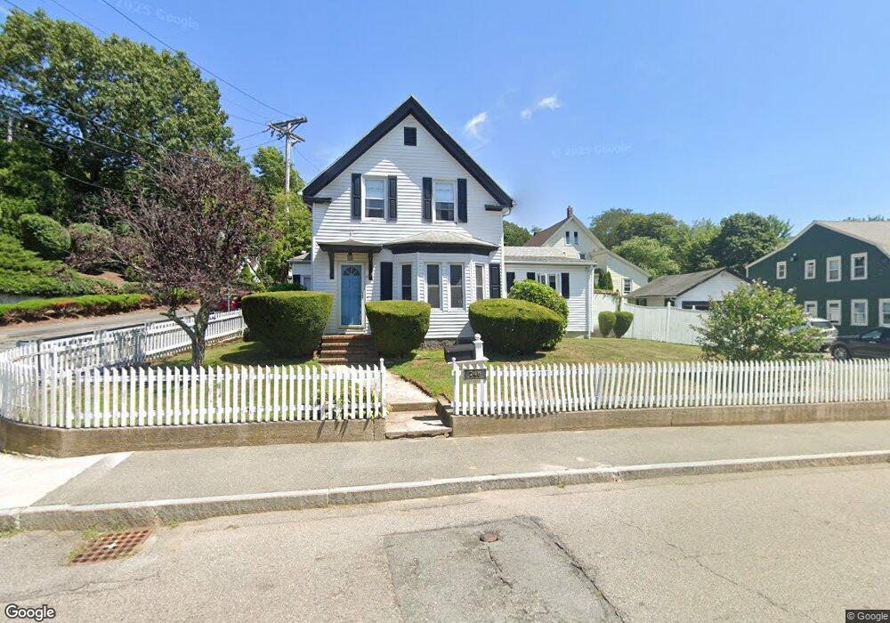
248 Common St Quincy, MA 02169
South Quincy NeighborhoodEstimated Value: $650,452 - $686,000
3
Beds
1
Bath
1,428
Sq Ft
$465/Sq Ft
Est. Value
About This Home
This home is located at 248 Common St, Quincy, MA 02169 and is currently estimated at $663,613, approximately $464 per square foot. 248 Common St is a home located in Norfolk County with nearby schools including South West Middle School, Lincoln-Hancock Community School, and Quincy High School.
Ownership History
Date
Name
Owned For
Owner Type
Purchase Details
Closed on
May 28, 2004
Sold by
Ramsey Corinne and Ramsey Jsteven
Bought by
Coletti David B and Coletti Mary
Current Estimated Value
Home Financials for this Owner
Home Financials are based on the most recent Mortgage that was taken out on this home.
Original Mortgage
$255,000
Outstanding Balance
$123,649
Interest Rate
5.88%
Mortgage Type
Purchase Money Mortgage
Estimated Equity
$539,964
Purchase Details
Closed on
Apr 30, 2001
Sold by
Common St T
Bought by
Ramsey Jack S and Ramsey Corinne E
Home Financials for this Owner
Home Financials are based on the most recent Mortgage that was taken out on this home.
Original Mortgage
$242,500
Interest Rate
6.88%
Mortgage Type
Purchase Money Mortgage
Create a Home Valuation Report for This Property
The Home Valuation Report is an in-depth analysis detailing your home's value as well as a comparison with similar homes in the area
Home Values in the Area
Average Home Value in this Area
Purchase History
| Date | Buyer | Sale Price | Title Company |
|---|---|---|---|
| Coletti David B | $370,000 | -- | |
| Ramsey Jack S | $250,000 | -- |
Source: Public Records
Mortgage History
| Date | Status | Borrower | Loan Amount |
|---|---|---|---|
| Open | Coletti David B | $255,000 | |
| Previous Owner | Ramsey Jack S | $242,500 |
Source: Public Records
Tax History
| Year | Tax Paid | Tax Assessment Tax Assessment Total Assessment is a certain percentage of the fair market value that is determined by local assessors to be the total taxable value of land and additions on the property. | Land | Improvement |
|---|---|---|---|---|
| 2025 | $6,616 | $573,800 | $311,000 | $262,800 |
| 2024 | $6,175 | $547,900 | $296,200 | $251,700 |
| 2023 | $5,794 | $520,600 | $282,100 | $238,500 |
| 2022 | $5,540 | $462,400 | $225,700 | $236,700 |
| 2021 | $5,246 | $432,100 | $225,700 | $206,400 |
| 2020 | $5,162 | $415,300 | $225,700 | $189,600 |
| 2019 | $5,092 | $405,700 | $219,100 | $186,600 |
| 2018 | $4,953 | $371,300 | $202,800 | $168,500 |
| 2017 | $4,955 | $349,700 | $193,200 | $156,500 |
| 2016 | $4,624 | $322,000 | $175,600 | $146,400 |
| 2015 | $4,381 | $300,100 | $165,800 | $134,300 |
| 2014 | $4,235 | $285,000 | $165,800 | $119,200 |
Source: Public Records
Map
Nearby Homes
- 211 Copeland St
- 40 Cross St Unit 1
- 39 Cross St
- 12 Nelson St
- 84 West St Unit 1
- 21 Arthur St
- 1 Cityview Ln Unit 707
- 9 Westford St
- 132 Centre St
- 91 Garfield St
- 156 West St
- 510 Willard St
- 211 West St Unit 11B
- 211 West St Unit 12B
- 52 Packards Ln Unit 4
- 230 Willard St Unit 102
- 230 Willard St Unit 207
- 59 Packards Ln Unit 5
- 59 Packards Ln Unit 1
- 59 Packards Ln Unit 3
- 256 Common St
- 256 Common St Unit 3
- 256 Common St Unit 2
- 13 Tinson Rd
- 13-15 Tinson Rd
- 17 Tinson Rd Unit 17 tinson rd
- 260 Common St
- 12 Tinson Rd
- 251 Common St
- 253 Common St
- 257 Common St
- 245 Common St
- 163 Suomi Rd
- 161 Suomi Rd Unit 2
- 163 Suomi Rd Unit 1
- 161 Suomi Rd
- 163 Suomi Rd Unit 2
- 19 Tinson Rd
- 261 Common St
- 266 Common St
Your Personal Tour Guide
Ask me questions while you tour the home.