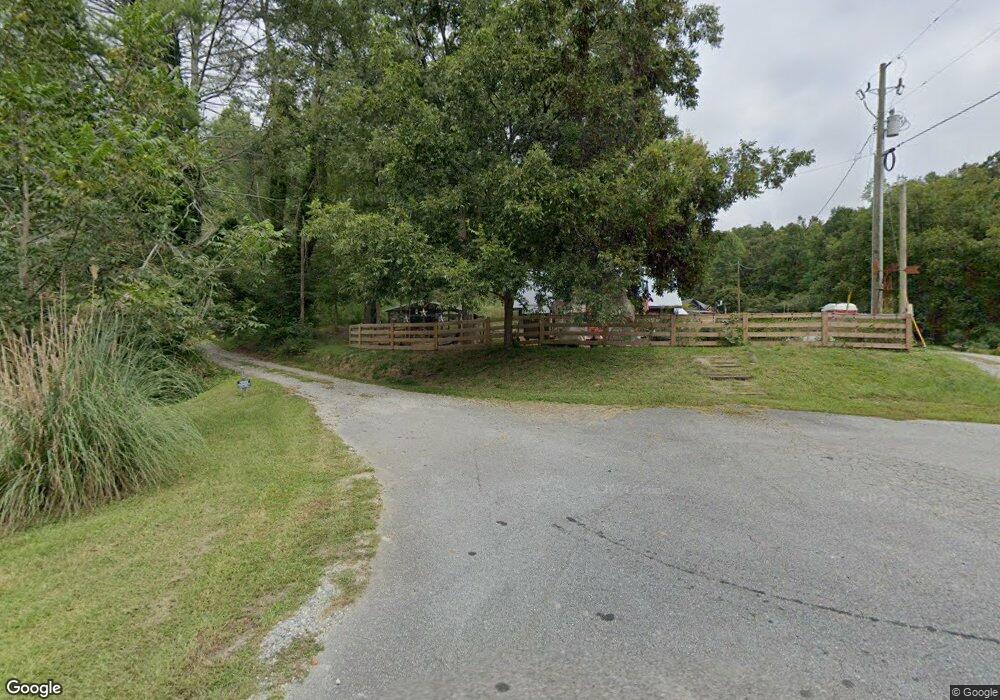
248 Stringer Cochran Rd Murrayville, GA 30564
Estimated Value: $158,224 - $390,000
Studio
1
Bath
1,248
Sq Ft
$200/Sq Ft
Est. Value
About This Home
This home is located at 248 Stringer Cochran Rd, Murrayville, GA 30564 and is currently estimated at $249,306, approximately $199 per square foot. 248 Stringer Cochran Rd is a home located in Lumpkin County with nearby schools including Lumpkin County High School.
Ownership History
Date
Name
Owned For
Owner Type
Purchase Details
Closed on
Oct 10, 2007
Sold by
Not Provided
Bought by
Schermerhorn Jeffrey and Schermerhorn Diane
Current Estimated Value
Purchase Details
Closed on
Mar 25, 2004
Sold by
Schermerhorn Jeffrey W and Schermerhorn Diane
Bought by
Gable David and Gable Kim
Purchase Details
Closed on
Apr 4, 1999
Bought by
Schermerhorn Jeffrey W and Schermerhorn Diane
Purchase Details
Closed on
Jul 15, 1998
Bought by
Schermerhorn Jeffrey W and Schermerhorn Diane
Purchase Details
Closed on
Feb 1, 1987
Bought by
Stringer Carl Lester
Create a Home Valuation Report for This Property
The Home Valuation Report is an in-depth analysis detailing your home's value as well as a comparison with similar homes in the area
Home Values in the Area
Average Home Value in this Area
Purchase History
| Date | Buyer | Sale Price | Title Company |
|---|---|---|---|
| Schermerhorn Jeffrey | $100,123 | -- | |
| Gable David | $85,000 | -- | |
| Schermerhorn Jeffrey W | $20,000 | -- | |
| Schermerhorn Jeffrey W | $260,500 | -- | |
| Stringer Carl Lester | -- | -- |
Source: Public Records
Tax History
| Year | Tax Paid | Tax Assessment Tax Assessment Total Assessment is a certain percentage of the fair market value that is determined by local assessors to be the total taxable value of land and additions on the property. | Land | Improvement |
|---|---|---|---|---|
| 2025 | $466 | $20,993 | $8,284 | $12,709 |
| 2024 | $466 | $20,240 | $7,531 | $12,709 |
| 2023 | $723 | $30,755 | $7,038 | $23,717 |
| 2022 | $679 | $27,412 | $5,865 | $21,547 |
| 2021 | $608 | $23,741 | $5,865 | $17,876 |
| 2020 | $605 | $22,947 | $5,620 | $17,327 |
| 2019 | $611 | $22,947 | $5,620 | $17,327 |
| 2018 | $595 | $20,969 | $5,620 | $15,349 |
| 2017 | $615 | $21,266 | $5,620 | $15,646 |
| 2016 | $572 | $19,137 | $5,620 | $13,517 |
| 2015 | $517 | $19,138 | $5,620 | $13,517 |
| 2014 | $517 | $19,628 | $5,620 | $14,007 |
| 2013 | -- | $20,117 | $5,620 | $14,497 |
Source: Public Records
Map
Nearby Homes
- 27.68 Chapman Ridge Ln
- 600 Chapman Ridge Ln
- 500 Chapman Ridge Ln
- 3.65 Ac Emory Stephens Rd
- 90 Azalea Ct
- 0 Roseberry Ln
- 815 Copper Mines Rd
- 333 Long Branch Crossing
- 24 Copper Mill Rd
- 124 Cimmaron Dr
- 0 Dogwood Ct Unit 7734485
- 0 Dogwood Ct Unit 10711091
- 966 Wahoo Creek Rd
- 0 Trail W
- 221 Friar Tuck Trail N
- 5978 Dahlonega Hwy
- 112 Lumpkin View Dr
- 922 Old Dahlonega Hwy
- 141 Friar Tuck Trail N
- 393 Lancelot Rd
- 249 Stringer Cochran Rd
- 94 Rustic Way
- 168 Stringer Cochran Rd
- 16 Rustic Way
- 7533 Highway 52 E
- 254 Stringer Cochran Rd
- 128 Sagebrook Dr
- 176 Rustic Way
- 99 Sagebrook Dr
- 44 Stinger Cochran Rd
- 252 Rustic Way
- 0 Stringer Cochran Rd Unit 7625445
- 0 Stringer Cochran Rd Unit 7435846
- 69 Stringer Cochran Rd
- 44 Stringer Cochran Rd
- 7383 Highway 52 E
- 206 Colonel Stringer Rd
- 80 Colonel Stringer Rd
- 28 Colonel Stringer Rd
- 86 Jewells Mountain Way
Your Personal Tour Guide
Ask me questions while you tour the home.