2480 S State Highway Ff Brookline, MO 65619
Estimated Value: $412,000 - $637,000
3
Beds
1
Bath
2,226
Sq Ft
$252/Sq Ft
Est. Value
About This Home
This home is located at 2480 S State Highway Ff, Brookline, MO 65619 and is currently estimated at $560,560, approximately $251 per square foot. 2480 S State Highway Ff is a home with nearby schools including Mcculloch Elementary School, Republic Middle School, and Republic High School.
Ownership History
Date
Name
Owned For
Owner Type
Purchase Details
Closed on
Dec 21, 2012
Sold by
Klein Martha and Gilbert Mary Lou
Bought by
Klein Martha and Martha Kelin Revocable Trust
Current Estimated Value
Purchase Details
Closed on
Feb 9, 2009
Sold by
Klein Martha and Gilbert Mary Lou
Bought by
Klein Martha and The Martha Klein Revocable Trust
Create a Home Valuation Report for This Property
The Home Valuation Report is an in-depth analysis detailing your home's value as well as a comparison with similar homes in the area
Purchase History
| Date | Buyer | Sale Price | Title Company |
|---|---|---|---|
| Klein Martha | -- | None Available | |
| Klein Martha | -- | None Available | |
| Klein Martha | -- | None Available | |
| Klein Martha | -- | None Available |
Source: Public Records
Tax History
| Year | Tax Paid | Tax Assessment Tax Assessment Total Assessment is a certain percentage of the fair market value that is determined by local assessors to be the total taxable value of land and additions on the property. | Land | Improvement |
|---|---|---|---|---|
| 2025 | $3,688 | $72,390 | -- | -- |
| 2024 | $3,688 | $67,960 | -- | -- |
| 2023 | $3,688 | $67,960 | $0 | $0 |
| 2022 | $3,269 | $60,170 | $0 | $0 |
| 2021 | $3,273 | $60,170 | $0 | $0 |
| 2020 | $3,026 | $54,640 | $0 | $0 |
| 2019 | $3,026 | $54,640 | $0 | $0 |
| 2018 | $3,076 | $54,640 | $0 | $0 |
| 2017 | $3,076 | $54,640 | $0 | $0 |
| 2016 | $2,532 | $45,140 | $0 | $0 |
| 2015 | $2,531 | $45,140 | $45,140 | $0 |
| 2014 | $2,469 | $45,070 | $0 | $0 |
| 2013 | $2,379 | $44,250 | $0 | $0 |
| 2011 | -- | $88,500 | $0 | $0 |
Source: Public Records
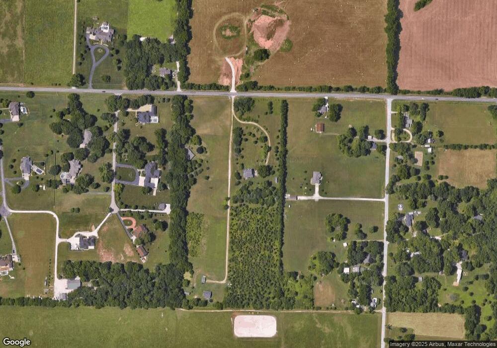
Map
Nearby Homes
- 4930 S State Route Ff
- 2182 N Haseltine Rd
- 1971 County Road Ff-1
- 4083 W Sycamore Dr Unit Lot 154
- 4064 W Sycamore Dr Unit Lot 145
- 4059 W Sycamore Dr Unit Lot 151
- 2665 W Old Limey Rd
- 000 W Old Limey Rd
- 4259 W Orchard Ln
- 6060 S Brookside Ln
- 5931 S Brookside Ln Unit Lot 79
- 5727 S State Highway Ff
- 4544 Somerset Dr
- 1661 N Old Burr Oak Ct
- 3396 W Bluffview St
- 4111 W Gardenia Dr
- 5739 S Cottonwood Dr
- 3182 W Bluffview St
- 3262 W Bluffview St
- 4037 W Gardenia Dr
- 2488 S State Highway Ff
- 0 Westeria Unit 11402284
- 0 Westeria Unit 11200612
- 2155 N Old Mill Rd
- 2126 N Rocky Top Rd
- 2446 S State Highway Ff
- 2446 State Highway Ff
- 2168 N Rocky Top Rd
- 2114 N Rocky Top Rd
- 2484 S State Highway Ff
- 7001 S State Highway Ff
- 2169 N Rocky Top Rd
- 2144 N Old Mill Rd
- 2127 N Rocky Top Rd
- 2107 N Old Mill Rd
- 2115 N Rocky Top Rd
- 2118 N Old Mill Rd
- 7057 S State Highway Ff
- 6385 S Farm Road 119
- 2126 N Eagleview
Your Personal Tour Guide
Ask me questions while you tour the home.