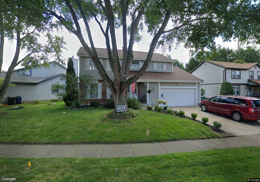
2481 Dunstan Dr Columbus, OH 43235
Foxboro NeighborhoodEstimated Value: $391,558 - $440,000
4
Beds
3
Baths
1,865
Sq Ft
$222/Sq Ft
Est. Value
About This Home
This home is located at 2481 Dunstan Dr, Columbus, OH 43235 and is currently estimated at $414,140, approximately $222 per square foot. 2481 Dunstan Dr is a home located in Franklin County with nearby schools including Albert Chapman Elementary School, Ann Simpson Davis Middle School, and Dublin Scioto High School.
Ownership History
Date
Name
Owned For
Owner Type
Purchase Details
Closed on
Apr 8, 2021
Sold by
Wolters John C and Wolters Carol L
Bought by
Wolters John C and Wolters Carol Louise
Current Estimated Value
Purchase Details
Closed on
Jun 27, 1995
Sold by
Anderson Larry Dean
Bought by
Wolters John C and Wolters Carol L
Home Financials for this Owner
Home Financials are based on the most recent Mortgage that was taken out on this home.
Original Mortgage
$100,000
Interest Rate
7.9%
Mortgage Type
New Conventional
Purchase Details
Closed on
Apr 1, 1987
Purchase Details
Closed on
Oct 1, 1986
Create a Home Valuation Report for This Property
The Home Valuation Report is an in-depth analysis detailing your home's value as well as a comparison with similar homes in the area
Home Values in the Area
Average Home Value in this Area
Purchase History
We collect this data history from publicly available records. To have your information removed, we recommend requesting removal directly through your county’s website.
| Date | Buyer | Sale Price | Title Company |
|---|---|---|---|
| Wolters John C | -- | None Available | |
| Wolters John C | $125,000 | -- | |
| -- | $92,800 | -- | |
| -- | $14,500 | -- |
Source: Public Records
Mortgage History
We collect this data history from publicly available records. To have your information removed, we recommend requesting removal directly through your county’s website.
| Date | Status | Borrower | Loan Amount |
|---|---|---|---|
| Closed | Wolters John C | $100,000 |
Source: Public Records
Tax History
| Year | Tax Paid | Tax Assessment Tax Assessment Total Assessment is a certain percentage of the fair market value that is determined by local assessors to be the total taxable value of land and additions on the property. | Land | Improvement |
|---|---|---|---|---|
| 2025 | $6,753 | $111,650 | $34,300 | $77,350 |
| 2024 | $6,753 | $111,650 | $34,300 | $77,350 |
| 2023 | $6,658 | $111,650 | $34,300 | $77,350 |
| 2022 | $6,140 | $95,690 | $17,850 | $77,840 |
| 2021 | $6,240 | $95,690 | $17,850 | $77,840 |
| 2020 | $6,202 | $95,690 | $17,850 | $77,840 |
| 2019 | $5,738 | $78,370 | $14,880 | $63,490 |
| 2018 | $5,057 | $78,370 | $14,880 | $63,490 |
| 2017 | $4,812 | $78,370 | $14,880 | $63,490 |
| 2016 | $4,328 | $60,140 | $14,740 | $45,400 |
| 2015 | $4,355 | $60,140 | $14,740 | $45,400 |
| 2014 | $4,359 | $60,140 | $14,740 | $45,400 |
| 2013 | $2,213 | $60,130 | $14,735 | $45,395 |
Source: Public Records
Map
Nearby Homes
- 7465 Bloomfield Place
- 7641 Old Foxe Ct
- 7909 Thornfield Ln Unit 41
- 7887 Thornfield Ln Unit 50
- 7891 Thornfield Ln Unit 48
- 2621 Summer Dr
- 7847 Meadowhaven Blvd Unit 66
- 7853 Meadowhaven Blvd Unit 63
- 7647 Smoketree Ct
- 2685 Cedar Lake Dr Unit 2685
- 7719 Schoolway Ct
- 7735 Schoolway Ct
- 7187 Inverness Ct Unit 7187
- 2074 Hard Rd
- 7759 Sharlene Dr
- 2744 Saltergate Dr
- 2001 Sawbury Blvd Unit 2001
- 7406 Cimmaron Station Unit 7406
- 2411 Sovron Ct
- 2567 Starford Dr
- 2489 Dunstan Dr
- 2473 Dunstan Dr
- 7855 Stanburn Rd
- 2497 Dunstan Dr
- 2480 Dunstan Dr
- 7887 Stanburn Rd
- 7849 Stanburn Rd
- 2472 Dunstan Dr
- 2505 Dunstan Dr
- 2466 Dunstan Dr
- 2496 Dunstan Dr
- 7858 Stanburn Rd
- 7895 Stanburn Rd
- 7852 Stanburn Rd
- 7843 Stanburn Rd
- 7864 Stanburn Rd
- 2477 Hard Rd
- 2509 Hard Rd
- 2504 Dunstan Dr
- 7894 Fairwind Dr
Your Personal Tour Guide
Ask me questions while you tour the home.