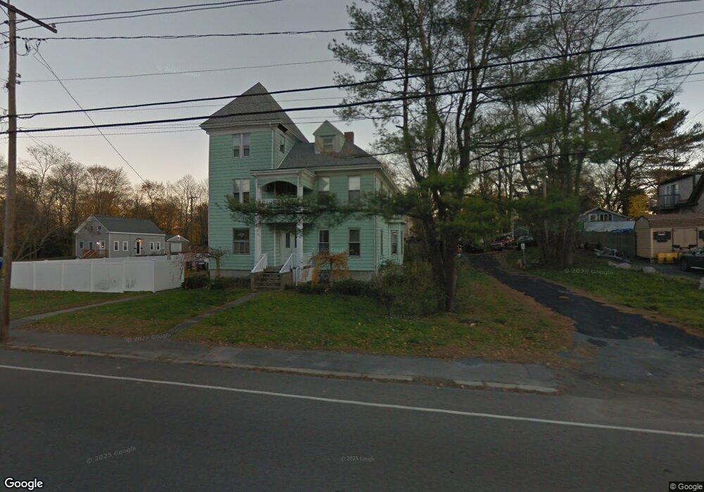
249 Webster St Rockland, MA 02370
Estimated Value: $763,383 - $1,101,000
8
Beds
3
Baths
5,084
Sq Ft
$173/Sq Ft
Est. Value
About This Home
This home is located at 249 Webster St, Rockland, MA 02370 and is currently estimated at $877,596, approximately $172 per square foot. 249 Webster St is a home located in Plymouth County with nearby schools including Rockland Senior High School, Calvary Chapel Academy, and Holy Family Elementary School.
Ownership History
Date
Name
Owned For
Owner Type
Purchase Details
Closed on
Sep 29, 2005
Sold by
Mahoney Joseph A and Mahoney Julie A
Bought by
Hines Thomas P and Hines Cynthia M
Current Estimated Value
Home Financials for this Owner
Home Financials are based on the most recent Mortgage that was taken out on this home.
Original Mortgage
$315,000
Outstanding Balance
$169,452
Interest Rate
5.84%
Mortgage Type
Purchase Money Mortgage
Estimated Equity
$708,144
Create a Home Valuation Report for This Property
The Home Valuation Report is an in-depth analysis detailing your home's value as well as a comparison with similar homes in the area
Home Values in the Area
Average Home Value in this Area
Purchase History
| Date | Buyer | Sale Price | Title Company |
|---|---|---|---|
| Hines Thomas P | $420,000 | -- |
Source: Public Records
Mortgage History
| Date | Status | Borrower | Loan Amount |
|---|---|---|---|
| Open | Hines Thomas P | $315,000 | |
| Previous Owner | Hines Thomas P | $105,000 | |
| Previous Owner | Hines Thomas P | $11,560 |
Source: Public Records
Tax History
| Year | Tax Paid | Tax Assessment Tax Assessment Total Assessment is a certain percentage of the fair market value that is determined by local assessors to be the total taxable value of land and additions on the property. | Land | Improvement |
|---|---|---|---|---|
| 2025 | $10,940 | $800,300 | $216,800 | $583,500 |
| 2024 | $10,620 | $755,300 | $204,600 | $550,700 |
| 2023 | $10,403 | $683,500 | $177,800 | $505,700 |
| 2022 | $9,963 | $594,800 | $154,600 | $440,200 |
| 2021 | $2,507 | $522,400 | $140,500 | $381,900 |
| 2020 | $8,708 | $497,600 | $133,800 | $363,800 |
| 2019 | $7,912 | $441,500 | $127,500 | $314,000 |
| 2018 | $2,934 | $415,100 | $127,500 | $287,600 |
| 2017 | $7,192 | $389,200 | $127,500 | $261,700 |
| 2016 | $6,925 | $374,500 | $122,600 | $251,900 |
| 2015 | $6,976 | $366,600 | $114,600 | $252,000 |
| 2014 | $5,808 | $316,700 | $112,300 | $204,400 |
Source: Public Records
Map
Nearby Homes
- 15 Bradford St
- 10 Sunnybank Ave
- 354 Webster St
- 63 Webster St
- 173 Liberty St
- 186 Vernon St
- 207 Vernon St
- 48 Bigelow Ave
- 50 Linden Park
- 411 Market St
- 1 Canterbury Ln
- 9 Old Market St
- 737-739 Union St
- 3 Leslie Ct
- 215 Market St
- 11 Chestnut Cir
- 1 Von Rhor Dr Unit 1
- 9 Chestnut Cir
- 103 Grove St Unit 349
- 9 Juniper Cir
- 239 Webster St
- 239R Webster St
- 14 Liberty Square
- 27 Liberty Square
- 250 Webster St Unit 1
- 28 Liberty Square
- 53 Liberty Square
- 279 Webster St
- 36 Liberty Square
- 222 Webster St Unit 2
- 222 Webster St
- 266 Webster St
- 282 Webster St
- 274 Webster St
- 44 Liberty Square
- 48 Liberty Square Unit 52
- 290 Webster St
- 52 Liberty Square Unit 52
- 54 Liberty Square
- 295 Webster St
Your Personal Tour Guide
Ask me questions while you tour the home.