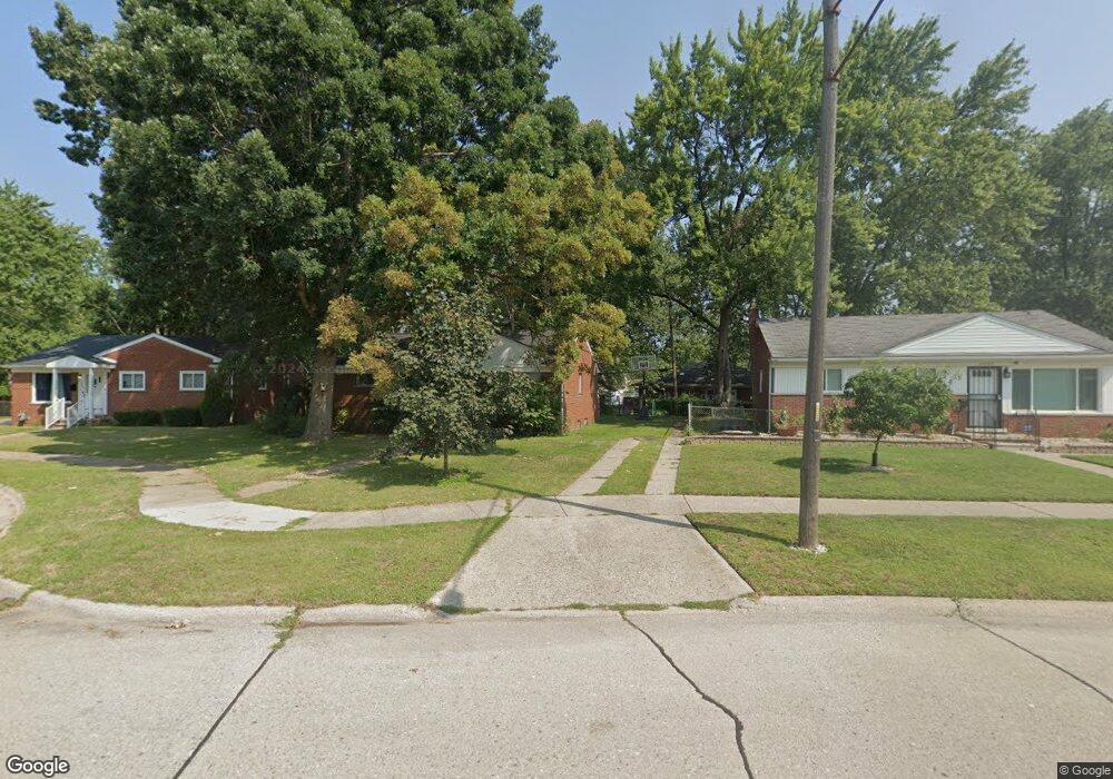
24940 Powers Ave Dearborn Heights, MI 48125
Estimated Value: $138,700 - $185,000
About This Home
This home is located at 24940 Powers Ave, Dearborn Heights, MI 48125 and is currently estimated at $155,925, approximately $152 per square foot. 24940 Powers Ave is a home located in Wayne County with nearby schools including West Village Academy and Quest Charter Academy.
Ownership History
We collect this data history from publicly available records. To have your information removed, we recommend requesting removal directly through your county’s website.
Purchase Details
Home Financials for this Owner
Home Financials are based on the most recent Mortgage that was taken out on this home.Purchase Details
Home Values in the Area
Average Home Value in this Area
Purchase History
We collect this data history from publicly available records. To have your information removed, we recommend requesting removal directly through your county’s website.
| Date | Buyer | Sale Price | Title Company |
|---|---|---|---|
| $55,000 | Hometown One Title Agency Ll | ||
| -- | Michigan Title Insurance Age |
Mortgage History
We collect this data history from publicly available records. To have your information removed, we recommend requesting removal directly through your county’s website.
| Date | Status | Borrower | Loan Amount |
|---|---|---|---|
| Open | $52,250 |
Tax History
We collect this data history from publicly available records. To have your information removed, we recommend requesting removal directly through your county’s website.
| Year | Tax Paid | Tax Assessment Tax Assessment Total Assessment is a certain percentage of the fair market value that is determined by local assessors to be the total taxable value of land and additions on the property. | Land | Improvement |
|---|---|---|---|---|
| 2025 | $1,459 | $77,300 | $0 | $0 |
| 2024 | $1,400 | $69,800 | $0 | $0 |
| 2023 | $1,257 | $60,500 | $0 | $0 |
| 2022 | $1,705 | $52,100 | $0 | $0 |
| 2021 | $1,707 | $45,000 | $0 | $0 |
| 2019 | $1,556 | $36,000 | $0 | $0 |
| 2018 | $1,052 | $31,400 | $0 | $0 |
| 2017 | $825 | $31,300 | $0 | $0 |
| 2016 | $3,227 | $31,700 | $0 | $0 |
| 2015 | $2,950 | $29,500 | $0 | $0 |
| 2013 | $3,070 | $31,300 | $0 | $0 |
| 2010 | -- | $38,100 | $0 | $0 |
Map
- 5387 Vivian St
- 4856 Carolee Ln
- 24819 Currier St
- 25220 Pennie St
- 24605 Eton Ave
- 25086 Annapolis St
- 24759 Hopkins St
- 0 Hopkins St
- 25525 Powers Ave
- 25432 McDonald St
- 25474 McDonald St
- 25550 Pennie St
- 24339 Eton Ave
- 25651 McDonald St
- 24114 Pennie St
- 25659 Annapolis St
- 24300 McDonald St
- 25611 van Born Rd
- 25046 Stanford St
- 24117 Eton Ave
- 24932 Powers Ave
- 24948 Powers Ave
- 24924 Powers Ave
- 24956 Powers Ave
- 24951 Powers Ave
- 25003 Pennie St
- 24964 Powers Ave
- 24931 Powers Ave
- 24916 Powers Ave
- 25057 Pennie St
- 24972 Powers Ave
- 24915 Powers Ave
- 24923 Powers Ave
- 24811 Pennie St
- 5313 Cherokee St
- 24980 Powers Ave
- 5321 Cherokee St
- 24903 Powers Ave
- 5301 Cherokee St
- 25074 Currier St
Ask me questions while you tour the home.