Estimated Value: $290,893 - $383,000
4
Beds
3
Baths
3,406
Sq Ft
$96/Sq Ft
Est. Value
About This Home
This home is located at 25 C Smith Rd, Boyce, LA 71409 and is currently estimated at $327,223, approximately $96 per square foot. 25 C Smith Rd is a home with nearby schools including Oak Hill High School.
Ownership History
Date
Name
Owned For
Owner Type
Purchase Details
Closed on
Nov 20, 2024
Sold by
Gorum Ryan Paul
Bought by
Terri And Thomas Harmeyer Trust and Harmeyer
Current Estimated Value
Purchase Details
Closed on
May 29, 2007
Sold by
Pledged Property Ii Llc
Bought by
Gorum Alice D Addington
Purchase Details
Closed on
May 23, 2007
Sold by
Greenwich Capital Markets
Bought by
Pledged Property Ii Llc
Purchase Details
Closed on
Apr 25, 2006
Sold by
Coleman Jennifer A and Coleman Thomas E
Bought by
Greenwich Capital Markets
Create a Home Valuation Report for This Property
The Home Valuation Report is an in-depth analysis detailing your home's value as well as a comparison with similar homes in the area
Purchase History
| Date | Buyer | Sale Price | Title Company |
|---|---|---|---|
| Terri And Thomas Harmeyer Trust | $42,000 | Stewart Title | |
| Terri And Thomas Harmeyer Trust | $42,000 | Stewart Title | |
| Gorum Alice D Addington | $210,450 | None Available | |
| Pledged Property Ii Llc | $2,237 | None Available | |
| Greenwich Capital Markets | $2,237 | None Available |
Source: Public Records
Tax History
| Year | Tax Paid | Tax Assessment Tax Assessment Total Assessment is a certain percentage of the fair market value that is determined by local assessors to be the total taxable value of land and additions on the property. | Land | Improvement |
|---|---|---|---|---|
| 2024 | $1,537 | $20,100 | $900 | $19,200 |
| 2023 | $1,458 | $19,400 | $900 | $18,500 |
| 2022 | $2,385 | $19,400 | $900 | $18,500 |
| 2021 | $2,365 | $19,400 | $900 | $18,500 |
| 2020 | $2,365 | $19,400 | $900 | $18,500 |
| 2019 | $2,219 | $18,198 | $898 | $17,300 |
| 2018 | $1,240 | $18,198 | $898 | $17,300 |
| 2017 | $1,835 | $18,198 | $898 | $17,300 |
| 2016 | $3,121 | $18,198 | $898 | $17,300 |
| 2015 | $2,879 | $16,783 | $828 | $15,955 |
| 2014 | $2,879 | $16,783 | $828 | $15,955 |
| 2013 | $2,882 | $16,783 | $828 | $15,955 |
Source: Public Records
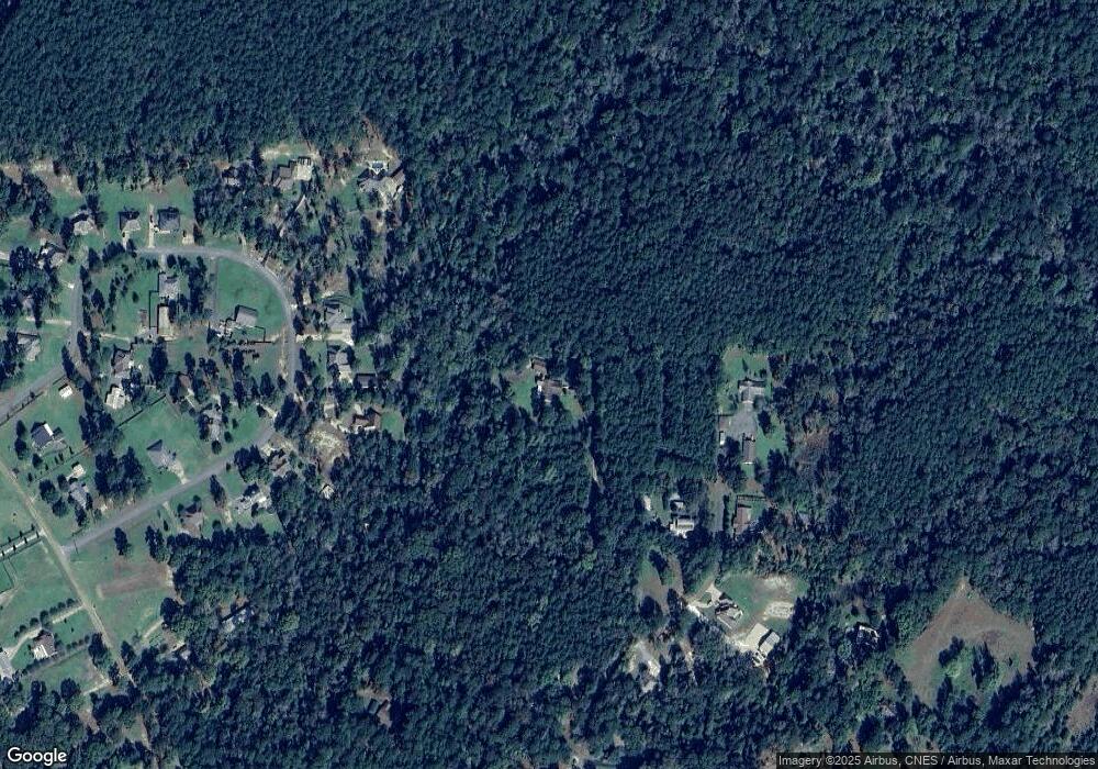
Map
Nearby Homes
- 132 Magnolia Ridge
- 56 Kisatchie (Lot1) Ln
- 64 Kisatchie (Lot2) Ln
- 72 Kisatchie (Lot6) Ln
- 66 Kisatchie (Lot3) Ln
- 143 J D's Point
- 101 J D's Point
- 9549 Highway 28 W None
- 184 Amelia (Lot 7) Ln
- 0 Amelia Ln Unit 2544677
- 0 Amelia Lot 11 Ln Unit 2544652
- 0 Amelia Lot 14 Ln Unit 2544666
- 0 Amelia Lot 15 Ln Unit 2544672
- 0 Amelia Lot 12 Ln Unit 2544660
- 120 Kincaid Ln
- 245 White Oak Dr
- 0 White Oak Dr Unit 2512307
- 7 Navy’s Way Rd
- 3 Navy’s Way Rd
- 4544 Navy’s Way Rd
- 50 David Burns Rd
- 50 David Burns Rd
- 40 David Burns Rd
- 55 Shadow Wood Dr
- 51 Shadow Wood Dr
- 47 Shadow Wood Dr
- 36 David Burns Rd
- 0 David Burns Rd Unit CN2415142
- 0 David Burns Rd Unit CN170721
- 0 David Burns Rd Unit CN161759
- 0 David Burns Rd
- 43 Shadow Wood Dr
- 63 Shadow Wood Dr
- 16 David Burns Rd
- 11 David Burns Rd
- 36 Shadow Wood Dr
- 67 Shadow Wood Dr
- 35 Shadow Wood Dr
- 39 Shadow Wood Dr
- 64 Shadow Wood Dr
Your Personal Tour Guide
Ask me questions while you tour the home.