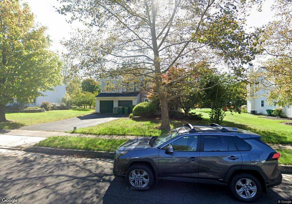
25 Devon Rd Newtown, PA 18940
Estimated Value: $787,000 - $1,021,000
4
Beds
3
Baths
2,802
Sq Ft
$318/Sq Ft
Est. Value
About This Home
This home is located at 25 Devon Rd, Newtown, PA 18940 and is currently estimated at $890,049, approximately $317 per square foot. 25 Devon Rd is a home located in Bucks County with nearby schools including Goodnoe Elementary School, Newtown Middle School, and Council Rock High School North.
Ownership History
Date
Name
Owned For
Owner Type
Purchase Details
Closed on
Nov 19, 2013
Sold by
Samson Reuben
Bought by
Samson Ruben
Current Estimated Value
Purchase Details
Closed on
Apr 29, 2003
Sold by
Samson Reuben and Samson Karen M
Bought by
Samson Karen M
Home Financials for this Owner
Home Financials are based on the most recent Mortgage that was taken out on this home.
Original Mortgage
$272,300
Interest Rate
4.68%
Mortgage Type
Purchase Money Mortgage
Create a Home Valuation Report for This Property
The Home Valuation Report is an in-depth analysis detailing your home's value as well as a comparison with similar homes in the area
Home Values in the Area
Average Home Value in this Area
Purchase History
| Date | Buyer | Sale Price | Title Company |
|---|---|---|---|
| Samson Ruben | -- | None Available | |
| Samson Karen M | -- | Transcontinental Title Co |
Source: Public Records
Mortgage History
| Date | Status | Borrower | Loan Amount |
|---|---|---|---|
| Closed | Samson Karen M | $272,300 |
Source: Public Records
Tax History
| Year | Tax Paid | Tax Assessment Tax Assessment Total Assessment is a certain percentage of the fair market value that is determined by local assessors to be the total taxable value of land and additions on the property. | Land | Improvement |
|---|---|---|---|---|
| 2025 | $8,652 | $48,680 | $7,360 | $41,320 |
| 2024 | $8,652 | $48,680 | $7,360 | $41,320 |
| 2023 | $1,731 | $48,680 | $7,360 | $41,320 |
| 2022 | $8,117 | $48,680 | $7,360 | $41,320 |
| 2021 | $7,991 | $48,680 | $7,360 | $41,320 |
| 2020 | $7,606 | $48,680 | $7,360 | $41,320 |
| 2019 | $7,426 | $48,680 | $7,360 | $41,320 |
| 2018 | $7,285 | $48,680 | $7,360 | $41,320 |
| 2017 | $7,033 | $48,680 | $7,360 | $41,320 |
| 2016 | $6,984 | $48,680 | $7,360 | $41,320 |
| 2015 | -- | $48,680 | $7,360 | $41,320 |
| 2014 | -- | $48,680 | $7,360 | $41,320 |
Source: Public Records
Map
Nearby Homes
- 42 Devon Rd
- 348 Burgundy Ln
- 32 Craig Ct Unit 135B
- 536 Washington Crossing Rd
- 272 Stanford Place
- 25 Essex Place
- 35 David Dr
- 5 Kingsley Ct
- 284 Willow Dr
- 4 Independence Place
- 367 Merion Place
- 20 Independence Place
- 10 Hartfeld Rd
- 25 Independence Place
- 102 Windham Ct
- 206 Paxon Aly Unit 51
- 226 Andrew Dr
- 297 Cliveden Dr
- [Land] 536 Washington Crossing Rd
- 203 Cliveden Dr
Your Personal Tour Guide
Ask me questions while you tour the home.