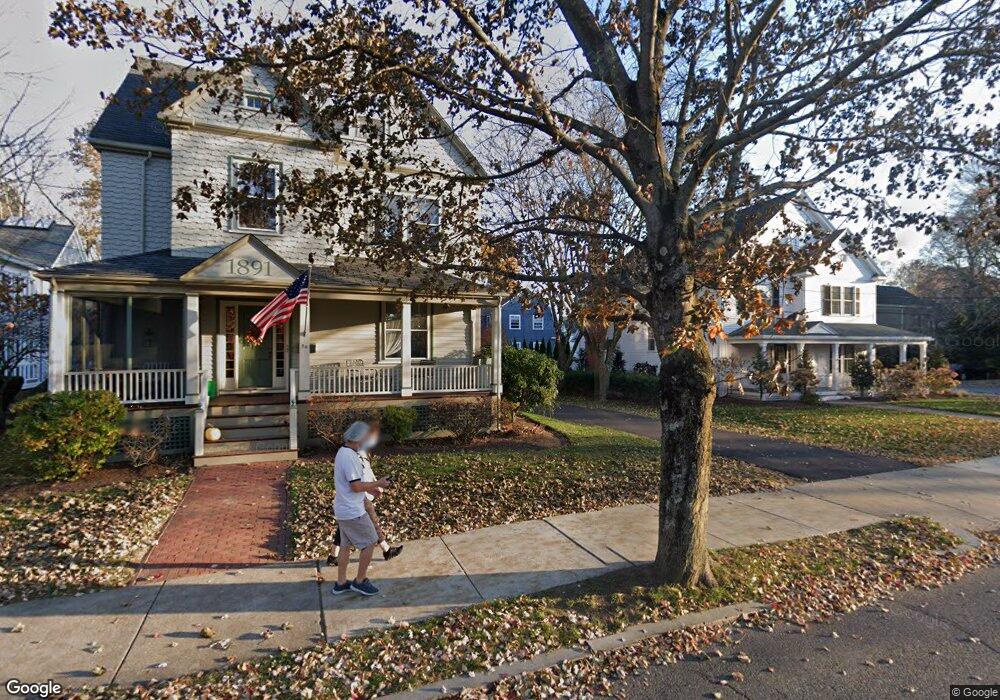
25 Forest St Lexington, MA 02421
Munroe Hill NeighborhoodEstimated Value: $1,439,000 - $2,425,000
4
Beds
2
Baths
2,150
Sq Ft
$910/Sq Ft
Est. Value
About This Home
This home is located at 25 Forest St, Lexington, MA 02421 and is currently estimated at $1,957,238, approximately $910 per square foot. 25 Forest St is a home located in Middlesex County with nearby schools including Fiske Elementary School, William Diamond Middle School, and Lexington High School.
Ownership History
Date
Name
Owned For
Owner Type
Purchase Details
Closed on
Sep 28, 2011
Sold by
William D Landry T
Bought by
Mcdonnell Kevin A and Mcdonnell Satinder H
Current Estimated Value
Home Financials for this Owner
Home Financials are based on the most recent Mortgage that was taken out on this home.
Original Mortgage
$600,000
Outstanding Balance
$410,209
Interest Rate
4.15%
Mortgage Type
Purchase Money Mortgage
Estimated Equity
$1,547,029
Create a Home Valuation Report for This Property
The Home Valuation Report is an in-depth analysis detailing your home's value as well as a comparison with similar homes in the area
Home Values in the Area
Average Home Value in this Area
Purchase History
We collect this data history from publicly available records. To have your information removed, we recommend requesting removal directly through your county’s website.
| Date | Buyer | Sale Price | Title Company |
|---|---|---|---|
| Mcdonnell Kevin A | $750,000 | -- |
Source: Public Records
Mortgage History
We collect this data history from publicly available records. To have your information removed, we recommend requesting removal directly through your county’s website.
| Date | Status | Borrower | Loan Amount |
|---|---|---|---|
| Open | Mcdonnell Kevin A | $600,000 |
Source: Public Records
Tax History
| Year | Tax Paid | Tax Assessment Tax Assessment Total Assessment is a certain percentage of the fair market value that is determined by local assessors to be the total taxable value of land and additions on the property. | Land | Improvement |
|---|---|---|---|---|
| 2025 | $21,427 | $1,752,000 | $1,029,000 | $723,000 |
| 2024 | $21,168 | $1,728,000 | $980,000 | $748,000 |
| 2023 | $19,019 | $1,463,000 | $891,000 | $572,000 |
| 2022 | $19,168 | $1,389,000 | $810,000 | $579,000 |
| 2021 | $3,583 | $1,290,000 | $772,000 | $518,000 |
| 2020 | $17,970 | $1,279,000 | $772,000 | $507,000 |
| 2019 | $17,226 | $1,220,000 | $735,000 | $485,000 |
| 2018 | $16,545 | $1,157,000 | $681,000 | $476,000 |
| 2017 | $15,475 | $1,068,000 | $648,000 | $420,000 |
| 2016 | $16,016 | $1,097,000 | $595,000 | $502,000 |
| 2015 | $15,098 | $1,016,000 | $541,000 | $475,000 |
| 2014 | $12,051 | $777,000 | $485,000 | $292,000 |
Source: Public Records
Map
Nearby Homes
- 1900 Massachusetts Ave
- 1894 Massachusetts Ave
- 209 Waltham St
- 1949 Massachusetts Ave
- 15 Hancock St
- 15 Winthrop Rd
- 11 Winthrop Rd
- 16 Meriam St
- 4 Stetson St
- 19 Sherman St Unit 2
- 15 John Poulter Rd
- 27 Slocum Rd
- 12 Hancock Ave
- 32 Baskin Rd
- 79 Bedford St Unit 79
- 93 Bedford St Unit 101
- 65 Sherburne Rd S
- 8 Lake St
- 72 Meriam St
- 1 Adams St
- 21 Forest St
- 26 Clarke St
- 24 Clarke St
- 24 Clarke St Unit 2
- 24 Clarke St Unit 24
- 22 Clarke St
- 8 Raymond St
- 6 Raymond St
- 33 Muzzey St
- 24 Forest St
- 22 Forest St
- 20 Clarke St
- 27 Muzzey St
- 33 Forest St Unit 417
- 33 Forest St Unit 416
- 33 Forest St Unit 415
- 33 Forest St Unit 414
- 33 Forest St Unit 413
- 33 Forest St Unit 319
- 33 Forest St Unit 318
Your Personal Tour Guide
Ask me questions while you tour the home.