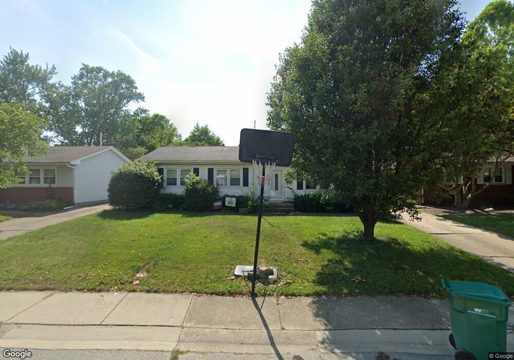
25 Friars Ln Springfield, IL 62704
Westchester NeighborhoodEstimated Value: $169,567 - $202,000
3
Beds
2
Baths
1,596
Sq Ft
$114/Sq Ft
Est. Value
About This Home
This home is located at 25 Friars Ln, Springfield, IL 62704 and is currently estimated at $181,892, approximately $113 per square foot. 25 Friars Ln is a home located in Sangamon County with nearby schools including Sandburg Elementary School, Benjamin Franklin Middle School, and Springfield Southeast High School.
Ownership History
Date
Name
Owned For
Owner Type
Purchase Details
Closed on
Dec 11, 2017
Sold by
Jj2 Properties Llc
Bought by
Balen Stephen J
Current Estimated Value
Home Financials for this Owner
Home Financials are based on the most recent Mortgage that was taken out on this home.
Original Mortgage
$83,200
Interest Rate
3.38%
Mortgage Type
New Conventional
Purchase Details
Closed on
Apr 5, 2004
Purchase Details
Closed on
Sep 15, 1997
Purchase Details
Closed on
Jun 27, 1994
Create a Home Valuation Report for This Property
The Home Valuation Report is an in-depth analysis detailing your home's value as well as a comparison with similar homes in the area
Home Values in the Area
Average Home Value in this Area
Purchase History
| Date | Buyer | Sale Price | Title Company |
|---|---|---|---|
| Balen Stephen J | $89,760 | Prairie Land Title | |
| -- | $108,900 | -- | |
| -- | $92,000 | -- | |
| -- | $76,000 | -- |
Source: Public Records
Mortgage History
| Date | Status | Borrower | Loan Amount |
|---|---|---|---|
| Previous Owner | Balen Stephen J | $83,200 |
Source: Public Records
Tax History
| Year | Tax Paid | Tax Assessment Tax Assessment Total Assessment is a certain percentage of the fair market value that is determined by local assessors to be the total taxable value of land and additions on the property. | Land | Improvement |
|---|---|---|---|---|
| 2024 | $3,838 | $45,694 | $8,264 | $37,430 |
| 2023 | $3,690 | $41,737 | $7,548 | $34,189 |
| 2022 | $3,548 | $39,591 | $7,160 | $32,431 |
| 2021 | $3,430 | $38,109 | $6,892 | $31,217 |
| 2020 | $3,362 | $38,166 | $6,902 | $31,264 |
| 2019 | $3,245 | $37,400 | $6,878 | $30,522 |
| 2018 | $3,518 | $41,641 | $6,845 | $34,796 |
| 2017 | $2,942 | $41,102 | $6,756 | $34,346 |
| 2016 | $2,877 | $40,502 | $6,657 | $33,845 |
| 2015 | $2,843 | $40,017 | $6,577 | $33,440 |
| 2014 | $2,667 | $39,759 | $6,535 | $33,224 |
| 2013 | $2,607 | $38,177 | $6,535 | $31,642 |
Source: Public Records
Map
Nearby Homes
- 53 Friars Ln
- 49 Foresters Ln
- 51 Squires Rd
- 41 Belhaven Dr
- 21 Drawbridge Rd
- 10 Andover Dr
- 90 Brookside Place Unit 57
- 2709 Clifton Dr
- 2732 S Welch Ave Unit 1
- 1705 Reed Ave Unit 1
- 2216 Charlack Ave
- 3304 Ellendale Dr
- 2403 Interlacken Rd
- 2234 Warson Rd
- 3308 Rawlings Dr
- 2315 Connie Dr
- 2306 Chatham Rd
- 3506 Aberdeen Ct
- 10 Reed Ct
- 2505 Wydown Ave
Your Personal Tour Guide
Ask me questions while you tour the home.