25 John Edward Dr Littlestown, PA 17340
Estimated Value: $451,000 - $499,000
4
Beds
3
Baths
2,744
Sq Ft
$170/Sq Ft
Est. Value
About This Home
This home is located at 25 John Edward Dr, Littlestown, PA 17340 and is currently estimated at $466,899, approximately $170 per square foot. 25 John Edward Dr is a home located in Adams County with nearby schools including Rolling Acres El School, Maple Avenue Middle School, and Littlestown Senior High School.
Ownership History
Date
Name
Owned For
Owner Type
Purchase Details
Closed on
Jan 11, 2019
Sold by
Hoddinott James C
Bought by
Hoddinott James C and Hoddinott Jeanne L
Current Estimated Value
Home Financials for this Owner
Home Financials are based on the most recent Mortgage that was taken out on this home.
Original Mortgage
$135,000
Outstanding Balance
$81,202
Interest Rate
4.6%
Mortgage Type
New Conventional
Estimated Equity
$385,697
Purchase Details
Closed on
Mar 16, 1999
Bought by
Hoddinott James C
Create a Home Valuation Report for This Property
The Home Valuation Report is an in-depth analysis detailing your home's value as well as a comparison with similar homes in the area
Home Values in the Area
Average Home Value in this Area
Purchase History
| Date | Buyer | Sale Price | Title Company |
|---|---|---|---|
| Hoddinott James C | -- | Research Title | |
| Hoddinott James C | $110,000 | -- |
Source: Public Records
Mortgage History
| Date | Status | Borrower | Loan Amount |
|---|---|---|---|
| Open | Hoddinott James C | $135,000 |
Source: Public Records
Tax History
| Year | Tax Paid | Tax Assessment Tax Assessment Total Assessment is a certain percentage of the fair market value that is determined by local assessors to be the total taxable value of land and additions on the property. | Land | Improvement |
|---|---|---|---|---|
| 2026 | $5,031 | $265,800 | $101,200 | $164,600 |
| 2025 | $5,031 | $265,800 | $101,200 | $164,600 |
| 2024 | $4,809 | $265,800 | $101,200 | $164,600 |
| 2023 | $4,714 | $265,800 | $101,200 | $164,600 |
| 2022 | $4,712 | $265,800 | $101,200 | $164,600 |
| 2021 | $4,545 | $265,800 | $101,200 | $164,600 |
| 2020 | $4,480 | $265,800 | $101,200 | $164,600 |
| 2019 | $4,385 | $265,800 | $101,200 | $164,600 |
| 2018 | $4,289 | $265,800 | $101,200 | $164,600 |
| 2017 | $4,141 | $265,800 | $101,200 | $164,600 |
| 2016 | -- | $265,800 | $101,200 | $164,600 |
| 2015 | -- | $265,800 | $101,200 | $164,600 |
| 2014 | -- | $265,800 | $101,200 | $164,600 |
Source: Public Records
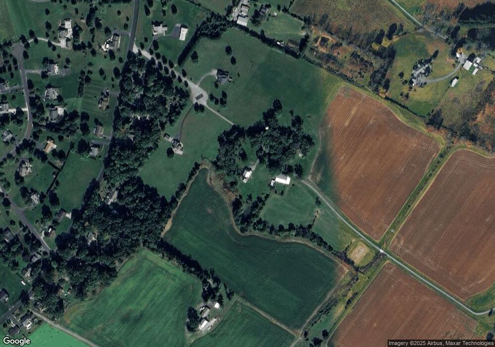
Map
Nearby Homes
- LOT 9 Mehring Rd
- 1066 Fox Run Terrace Unit 32
- 1120 Hanover Pike
- 80 E Summit Dr Unit 50
- 316 Mathias Rd Unit 4
- 50 Mummert Dr
- 36 W Summit Dr
- 24 Ashfield Dr Unit 48
- 567 Lumber St
- 43 Ashfield Dr Unit 14
- 559 Lumber St
- 5130 Littlestown Pike
- 535 Lumber St
- 6016 Baltimore Pike
- 1150 Humbert Schoolhouse Rd
- 4 Straw Ct Unit 166
- 31 E Lakeview Dr Unit 18
- 23 Crescent Ln Unit 34
- 18 E Lakeview Dr
- 1555 Humbert Schoolhouse Rd
- 15 John Edward Dr Unit 5
- 10 John Edward Dr Unit 3
- 715 Bollinger Rd
- 701 Bollinger Rd
- 727 Bollinger Rd Unit 5
- 665 Bollinger Rd Unit 2
- 741 Bollinger Rd
- 661 Bollinger Rd
- 710 Bollinger Rd Unit 16
- 690 Bollinger Rd
- 730 Bollinger Rd
- 895 Bollinger Rd
- 4 John Edward Dr Unit 2
- 657 Bollinger Rd
- 641 Bollinger Rd
- 760 Bollinger Rd
- 650 Bollinger Rd
- 175 Valleyview Dr Unit 33
- 165 Valleyview Dr Unit 34
- 909 Bollinger Rd
Your Personal Tour Guide
Ask me questions while you tour the home.