25 Maple Ave Sudbury, MA 01776
Estimated Value: $824,000 - $981,000
About This Home
This home is located at 25 Maple Ave, Sudbury, MA 01776 and is currently estimated at $911,005, approximately $471 per square foot. 25 Maple Ave is a home located in Middlesex County with nearby schools including Israel Loring Elementary School, Ephraim Curtis Middle School, and Lincoln-Sudbury Regional High School.
Ownership History
We collect this data history from publicly available records. To have your information removed, we recommend requesting removal directly through your county’s website.
Purchase Details
Purchase Details
Home Values in the Area
Average Home Value in this Area
Purchase History
We collect this data history from publicly available records. To have your information removed, we recommend requesting removal directly through your county’s website.
| Date | Buyer | Sale Price | Title Company |
|---|---|---|---|
| -- | -- | ||
| $69,500 | -- |
Mortgage History
We collect this data history from publicly available records. To have your information removed, we recommend requesting removal directly through your county’s website.
| Date | Status | Borrower | Loan Amount |
|---|---|---|---|
| Previous Owner | $30,000 | ||
| Previous Owner | $190,000 | ||
| Previous Owner | $11,000 |
Tax History
We collect this data history from publicly available records. To have your information removed, we recommend requesting removal directly through your county’s website.
| Year | Tax Paid | Tax Assessment Tax Assessment Total Assessment is a certain percentage of the fair market value that is determined by local assessors to be the total taxable value of land and additions on the property. | Land | Improvement |
|---|---|---|---|---|
| 2025 | $12,363 | $844,500 | $410,100 | $434,400 |
| 2024 | $11,878 | $813,000 | $398,100 | $414,900 |
| 2023 | $11,299 | $716,500 | $368,500 | $348,000 |
| 2022 | $10,994 | $609,100 | $337,900 | $271,200 |
| 2021 | $10,686 | $567,500 | $337,900 | $229,600 |
| 2020 | $10,470 | $567,500 | $337,900 | $229,600 |
| 2019 | $10,164 | $567,500 | $337,900 | $229,600 |
| 2018 | $10,156 | $566,400 | $355,700 | $210,700 |
| 2017 | $9,936 | $560,100 | $351,500 | $208,600 |
| 2016 | $9,397 | $527,900 | $337,900 | $190,000 |
| 2015 | $8,997 | $511,200 | $324,800 | $186,400 |
| 2014 | $8,981 | $498,100 | $315,200 | $182,900 |
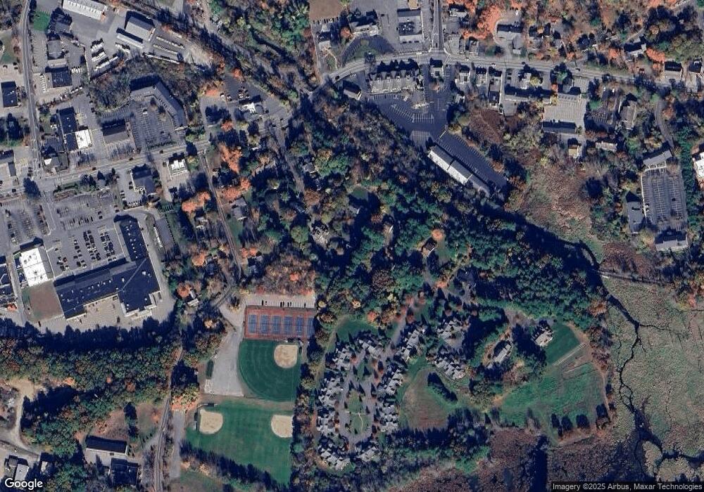
Map
- 34 Maple Ave
- 4 Maple Ave
- 80 Pokonoket Ave
- 59 Highland Ave
- 36 Cutler Farm Rd
- 133 Concord Rd
- 217 Nobscot Rd
- 266 Landham Rd
- 30 Meadow Dr
- 52 Goodmans Hill Rd
- 23 Kato Dr
- 220 Old Lancaster Rd
- 32 Old Framingham Rd Unit 8
- 32 Old Framingham Rd Unit 41
- 69 Puritan Ln
- 40 Tall Pine Dr Unit 2
- 30 Nobscot Rd Unit 2
- 29 Patricia Rd
- 70 Harrington Rd
- 228 Horse Pond Rd
- 19 Maple Ave
- 31 Maple Ave
- 31 Maple Ave Unit 1
- 31 Maple Ave Unit R
- 31 Maple Ave Unit B
- 28 Maple Ave
- 22 Maple Ave
- 15 Maple Ave
- 14 Maple Ave
- 11 Maple Ave
- 34 Maple Ave Unit Right
- 36 Maple Ave Unit 36
- 36 Maple Ave
- 34 Maple Ave Unit 36
- 34 Maple Ave Unit 34
- 34 Maple Ave Unit O
- 236 Raymond Rd
- 10 Maple Ave
- 246 Raymond Rd
- "Cortland" Maple Ave Unit 1101
Ask me questions while you tour the home.