25 W Harding Rd Unit 101 Springfield, OH 45504
Estimated Value: $91,811
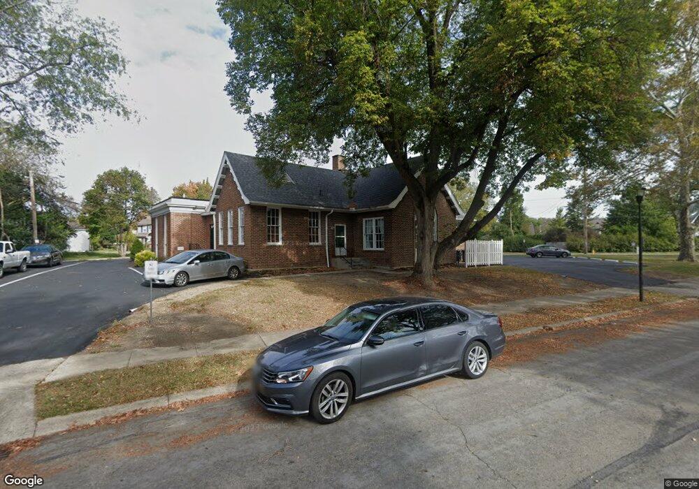
About This Home
This home is located at 25 W Harding Rd Unit 101, Springfield, OH 45504 and is currently estimated at $91,811, approximately $69 per square foot. 25 W Harding Rd Unit 101 is a home located in Clark County with nearby schools including Snowhill Elementary School, Roosevelt Middle School, and Springfield High School.
Ownership History
We collect this data history from publicly available records. To have your information removed, we recommend requesting removal directly through your county’s website.
Purchase Details
Purchase Details
Purchase Details
Purchase Details
Home Values in the Area
Average Home Value in this Area
Purchase History
We collect this data history from publicly available records. To have your information removed, we recommend requesting removal directly through your county’s website.
| Date | Buyer | Sale Price | Title Company |
|---|---|---|---|
| -- | None Listed On Document | ||
| $76,000 | None Listed On Document | ||
| -- | -- | ||
| -- | -- | ||
| -- | -- | ||
| -- | -- |
Tax History
We collect this data history from publicly available records. To have your information removed, we recommend requesting removal directly through your county’s website.
| Year | Tax Paid | Tax Assessment Tax Assessment Total Assessment is a certain percentage of the fair market value that is determined by local assessors to be the total taxable value of land and additions on the property. | Land | Improvement |
|---|---|---|---|---|
| 2025 | $2,607 | $40,790 | $8,110 | $32,680 |
| 2024 | $2,563 | $35,320 | $5,790 | $29,530 |
| 2023 | $2,563 | $35,320 | $5,790 | $29,530 |
| 2022 | $2,607 | $35,320 | $5,790 | $29,530 |
| 2021 | $2,580 | $35,320 | $5,790 | $29,530 |
| 2020 | $2,579 | $35,320 | $5,790 | $29,530 |
| 2019 | $2,586 | $35,320 | $5,790 | $29,530 |
| 2018 | $2,394 | $32,610 | $5,790 | $26,820 |
| 2017 | $2,409 | $32,614 | $5,793 | $26,821 |
| 2016 | $2,397 | $32,614 | $5,793 | $26,821 |
| 2015 | $2,425 | $32,614 | $5,793 | $26,821 |
| 2014 | $2,398 | $32,614 | $5,793 | $26,821 |
| 2013 | $2,344 | $32,614 | $5,793 | $26,821 |
Map
- 124 Hawthorne Rd
- 1707 Longview Dr
- 118 Hampton Place
- 1507 N Limestone St
- 1663-1665 Brentwood Dr
- 1810 N Limestone St
- 327 Ardmore Rd
- 110 E 1st St
- 134 E 1st St
- 111 E 1st St
- 150 S Kensington Place
- 310 E 3rd St
- 1320 N Plum St
- 0 E McCreight Ave
- 308 Ridge Rd
- 275 Ridge Rd
- 505 Ridgeview Ct
- 1767 Northpoint Rd
- 146 N Kensington Place
- 1782 Northpoint Rd
- 25 W Harding Rd
- 111 W Harding Rd
- 100 Hawthorne Rd
- 26 W Harding Rd
- 32 W Harding Rd
- 25 Hawthorne Rd
- 42 W Harding Rd
- 1665 N Fountain Blvd
- 104 W Harding Rd
- 1705 N Fountain Blvd
- 1630 Woodedge Ave
- 123 W Harding Rd
- 116 Hawthorne Rd
- 114 W Harding Rd
- 114 W Harding Rd
- 33 Ardmore Rd
- 25 Ardmore Rd
- 1717 N Fountain Blvd
- 39 Ardmore Rd
- 15 Ardmore Rd
Ask me questions while you tour the home.