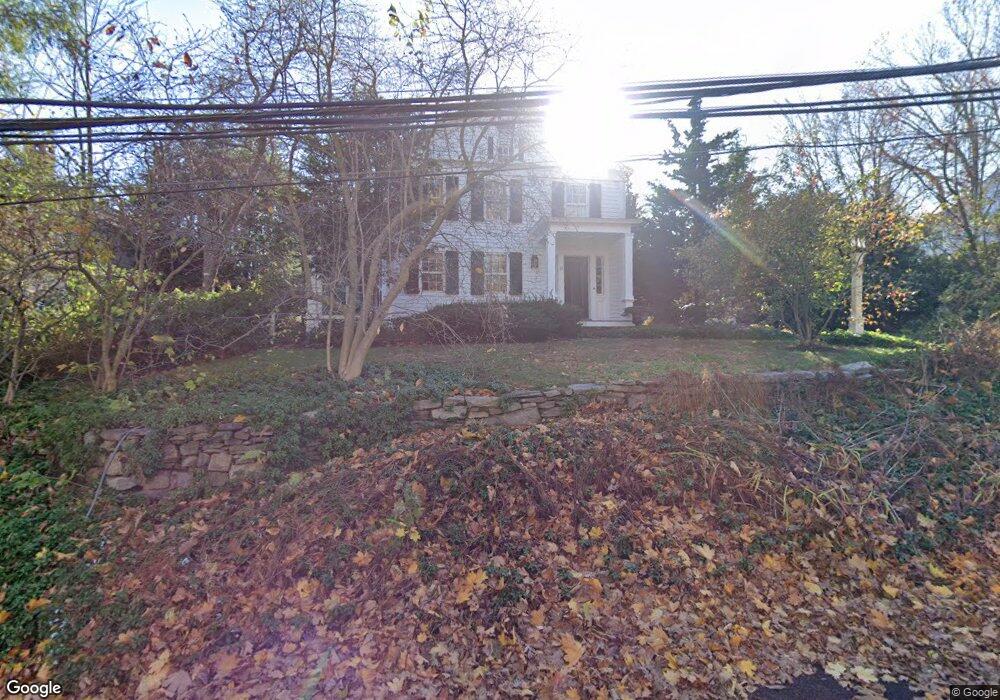
25 Wright St Westport, CT 06880
Old Hill NeighborhoodEstimated Value: $1,360,000 - $1,897,119
3
Beds
3
Baths
2,295
Sq Ft
$735/Sq Ft
Est. Value
About This Home
This home is located at 25 Wright St, Westport, CT 06880 and is currently estimated at $1,687,280, approximately $735 per square foot. 25 Wright St is a home located in Fairfield County with nearby schools including King's Highway Elementary School, Coleytown Middle School, and Staples High School.
Create a Home Valuation Report for This Property
The Home Valuation Report is an in-depth analysis detailing your home's value as well as a comparison with similar homes in the area
Home Values in the Area
Average Home Value in this Area
Tax History
We collect this data history from publicly available records. To have your information removed, we recommend requesting removal directly through your county’s website.
| Year | Tax Paid | Tax Assessment Tax Assessment Total Assessment is a certain percentage of the fair market value that is determined by local assessors to be the total taxable value of land and additions on the property. | Land | Improvement |
|---|---|---|---|---|
| 2025 | $12,666 | $671,600 | $0 | $671,600 |
| 2024 | $12,505 | $671,600 | $0 | $671,600 |
| 2023 | $12,324 | $671,600 | $0 | $671,600 |
| 2022 | $12,136 | $671,600 | $0 | $671,600 |
| 2021 | $12,136 | $671,600 | $0 | $671,600 |
| 2020 | $11,289 | $675,600 | $0 | $675,600 |
| 2019 | $11,391 | $675,600 | $0 | $675,600 |
| 2018 | $11,391 | $675,600 | $0 | $675,600 |
| 2017 | $11,391 | $675,600 | $0 | $675,600 |
| 2016 | $11,391 | $675,600 | $0 | $675,600 |
| 2015 | $8,634 | $477,300 | $0 | $477,300 |
| 2014 | $8,563 | $477,300 | $0 | $477,300 |
Source: Public Records
Map
Nearby Homes
- 20 Cross St Unit 10
- 7 Lincoln St
- 60 Wilton Rd Unit 2C
- 119 Kings Highway North Rd
- 119 Kings Hwy N
- 34 Woodside Ave
- 48 Woodside Ave
- 30 Saint Johns Place
- 22 Evergreen Ave
- 24 Washington Ave
- 50 Sylvan Rd N
- 310 Main St
- 30 Pequot Trail
- 15 Gorham Ave
- 4 Woods Grove Rd
- 34 Pequot Trail
- 31 Stonybrook Rd
- 20 Woods Grove Rd
- 9 Over Rock Ln
- 3 Laurel Ln
- 27 Wright St
- 27 Wright St Unit 27
- 8 Wright St
- 41 Wright St
- 35 Wright St
- 56 Post Rd W Unit 56
- 46 Wright St
- 49 Wright St
- 1 Wilton Rd
- 18 Riverside Ave
- 18 Riverside Ave Unit 2
- 18 Riverside Ave Unit 1
- 3 Orchard Ln
- 56 Wright St
- 28 Cross St Unit 28
- 28 Cross St Unit 2
- 32 Wright St
- 54 Wright St
- 8 Cross St Unit 1
- 8 Cross St Unit 2
Your Personal Tour Guide
Ask me questions while you tour the home.