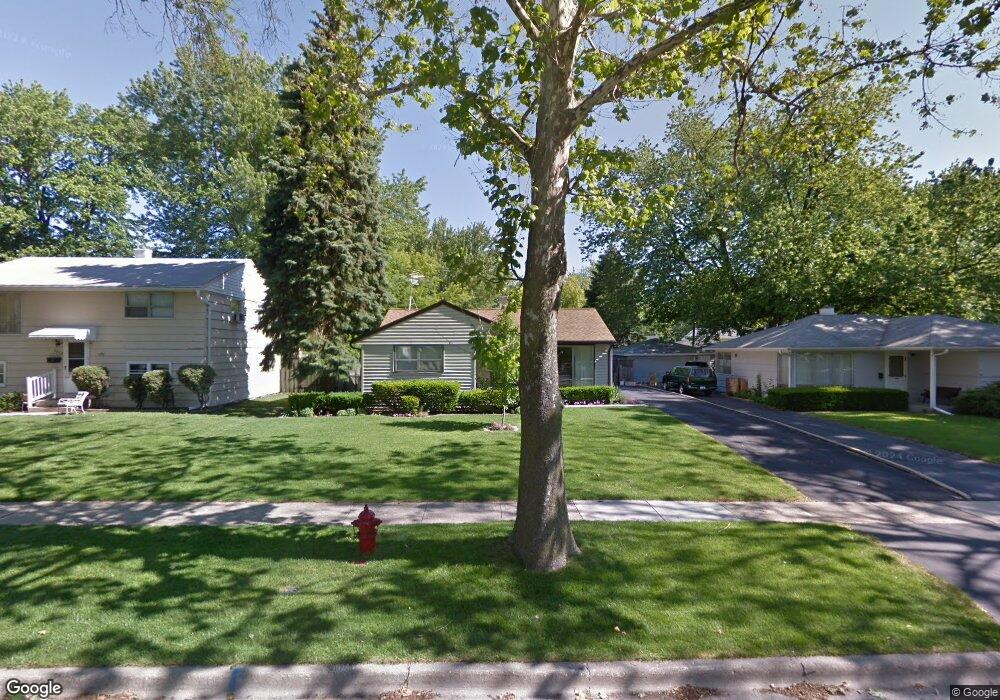
2500 Hawk Ln Rolling Meadows, IL 60008
Estimated Value: $322,000 - $410,000
4
Beds
2
Baths
1,439
Sq Ft
$255/Sq Ft
Est. Value
About This Home
This home is located at 2500 Hawk Ln, Rolling Meadows, IL 60008 and is currently estimated at $367,017, approximately $255 per square foot. 2500 Hawk Ln is a home located in Cook County with nearby schools including Kimball Hill Elementary School, Carl Sandburg Junior High School, and Rolling Meadows High School.
Ownership History
Date
Name
Owned For
Owner Type
Purchase Details
Closed on
Jun 27, 2007
Sold by
Kropp David A
Bought by
Kropp David A and The David A Kropp Living Trust
Current Estimated Value
Purchase Details
Closed on
Sep 4, 1998
Sold by
Mcdyer Clarence A and Mcdyer Mary T
Bought by
Kropp David A
Home Financials for this Owner
Home Financials are based on the most recent Mortgage that was taken out on this home.
Original Mortgage
$124,800
Outstanding Balance
$24,815
Interest Rate
6.98%
Estimated Equity
$342,202
Create a Home Valuation Report for This Property
The Home Valuation Report is an in-depth analysis detailing your home's value as well as a comparison with similar homes in the area
Home Values in the Area
Average Home Value in this Area
Purchase History
| Date | Buyer | Sale Price | Title Company |
|---|---|---|---|
| Kropp David A | -- | None Available | |
| Kropp David A | $156,000 | Professional National Title |
Source: Public Records
Mortgage History
| Date | Status | Borrower | Loan Amount |
|---|---|---|---|
| Open | Kropp David A | $124,800 |
Source: Public Records
Tax History
| Year | Tax Paid | Tax Assessment Tax Assessment Total Assessment is a certain percentage of the fair market value that is determined by local assessors to be the total taxable value of land and additions on the property. | Land | Improvement |
|---|---|---|---|---|
| 2025 | $6,340 | $31,000 | $5,070 | $25,930 |
| 2024 | $6,340 | $24,000 | $4,290 | $19,710 |
| 2023 | $6,040 | $24,000 | $4,290 | $19,710 |
| 2022 | $6,040 | $24,000 | $4,290 | $19,710 |
| 2021 | $5,288 | $19,299 | $2,535 | $16,764 |
| 2020 | $5,547 | $20,256 | $2,535 | $17,721 |
| 2019 | $5,587 | $22,633 | $2,535 | $20,098 |
| 2018 | $5,196 | $19,478 | $2,340 | $17,138 |
| 2017 | $5,109 | $19,478 | $2,340 | $17,138 |
| 2016 | $5,441 | $20,903 | $2,340 | $18,563 |
| 2015 | $5,005 | $18,521 | $2,145 | $16,376 |
| 2014 | $4,903 | $18,521 | $2,145 | $16,376 |
| 2013 | $5,253 | $20,141 | $2,145 | $17,996 |
Source: Public Records
Map
Nearby Homes
- 2404 Hawk Ln
- 2707 Lily Ln
- 2720 Lily Ln
- 2201 Kingfisher Ln
- 3306 Trillium Cir Unit 3001
- 3717 Oriole Ln
- 3101 Thrush Ln
- 2109 Park St
- 2308 Park St
- 3200 Thrush Ln
- 3610 Pheasant Dr
- 3100 Town Square Dr Unit 308
- 3135 Town Square Dr Unit 104
- 3135 Town Square Dr Unit 407
- 2503 George St
- 503 Lexington Ln
- 3265 Kirchoff Rd Unit 116
- 2808 Dove St
- 3503 Bobolink Ln
- 3502 Mallard Ct
Your Personal Tour Guide
Ask me questions while you tour the home.