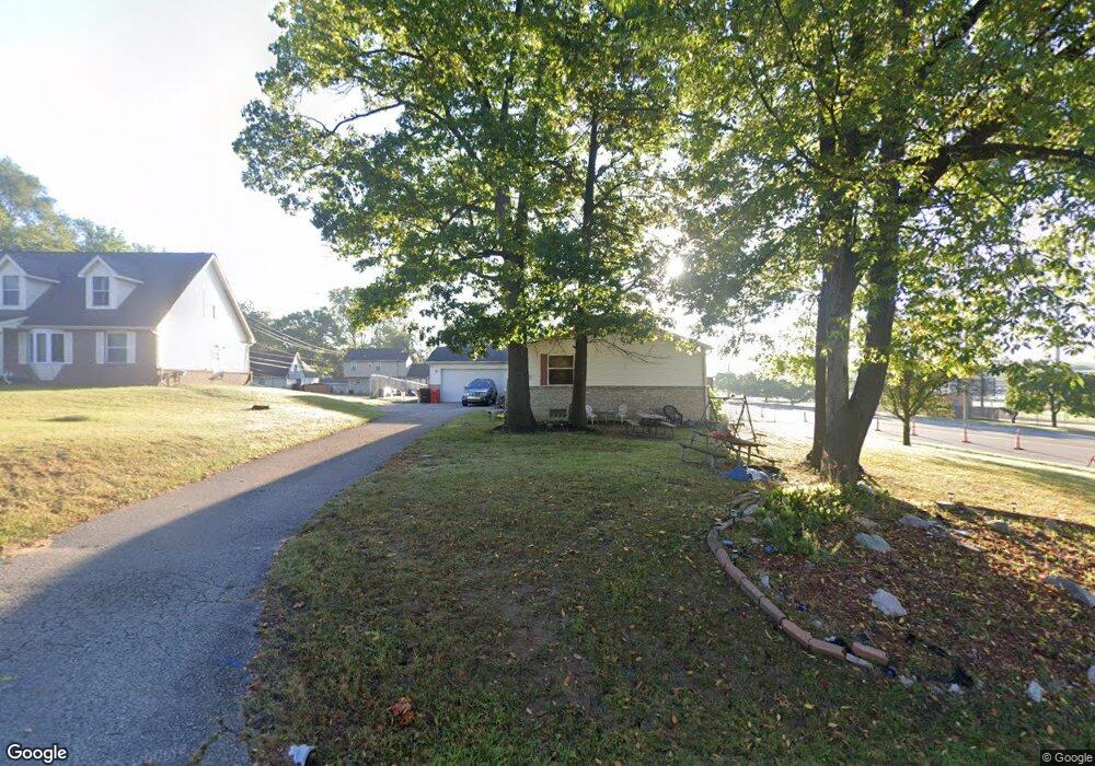
25028 Code Rd Southfield, MI 48033
Estimated Value: $283,000 - $380,000
Studio
2
Baths
2,128
Sq Ft
$154/Sq Ft
Est. Value
About This Home
This home is located at 25028 Code Rd, Southfield, MI 48033 and is currently estimated at $327,407, approximately $153 per square foot. 25028 Code Rd is a home located in Oakland County with nearby schools including Morris Adler Elementary School, Glenn W. Levey Middle School, and Bradford Academy.
Ownership History
Date
Name
Owned For
Owner Type
Purchase Details
Closed on
Jun 13, 2005
Sold by
Estate Of Jamal Palmer
Bought by
Densmore Dorian and Densmore Lisa Y
Current Estimated Value
Home Financials for this Owner
Home Financials are based on the most recent Mortgage that was taken out on this home.
Original Mortgage
$247,775
Outstanding Balance
$143,302
Interest Rate
7.8%
Mortgage Type
Stand Alone Refi Refinance Of Original Loan
Estimated Equity
$184,105
Purchase Details
Closed on
Oct 15, 2000
Sold by
Jamal Palmer Tr
Bought by
Palmer Jamal
Purchase Details
Closed on
Aug 28, 1998
Sold by
Densmore Lisa Y
Bought by
Jamal Palmer Tr
Purchase Details
Closed on
May 30, 1998
Sold by
Archdiocese Of Detroit
Bought by
Yelder Brian D
Create a Home Valuation Report for This Property
The Home Valuation Report is an in-depth analysis detailing your home's value as well as a comparison with similar homes in the area
Home Values in the Area
Average Home Value in this Area
Purchase History
| Date | Buyer | Sale Price | Title Company |
|---|---|---|---|
| Densmore Dorian | -- | Title Express Agency | |
| Palmer Jamal | -- | -- | |
| Jamal Palmer Tr | -- | -- | |
| Yelder Brian D | $24,000 | -- |
Source: Public Records
Mortgage History
| Date | Status | Borrower | Loan Amount |
|---|---|---|---|
| Open | Densmore Dorian | $247,775 |
Source: Public Records
Tax History
| Year | Tax Paid | Tax Assessment Tax Assessment Total Assessment is a certain percentage of the fair market value that is determined by local assessors to be the total taxable value of land and additions on the property. | Land | Improvement |
|---|---|---|---|---|
| 2025 | $5,692 | $149,950 | $24,660 | $125,290 |
| 2022 | $5,040 | $145,270 | $22,220 | $123,050 |
| 2021 | $6,208 | $133,790 | $22,220 | $111,570 |
| 2020 | $5,439 | $121,290 | $19,320 | $101,970 |
| 2018 | $10,670 | $71,160 | $10,000 | $61,160 |
| 2015 | -- | $53,010 | $0 | $0 |
| 2014 | -- | $54,410 | $0 | $0 |
| 2011 | -- | $52,320 | $0 | $0 |
Source: Public Records
Map
Nearby Homes
- 25150 Briarbank Ave
- 25160 Lahser Rd
- 25835 Lahser Rd Unit 5
- 25555 Lahser Rd Unit 15
- 24818 Lois Ln
- 23409 Ranch Hill Dr W
- 21516 Mcclung Ave
- 21963 Deer Brook Dr Unit 1
- 21955 Deer Brook Dr Unit 3
- 21959 Deer Brook Dr Unit 2
- 21951 Deer Brook Dr Unit 4
- 21812 Duns Scotus St Unit 7
- 22664 W 11 Mile Rd Unit 10
- VL Russell St
- 24733 Primrose Ln
- 24642 Primrose Ln
- 24744 Cashmere Ct Unit 119
- 21751 W Nine Mile Rd
- 22465 Kenwyck Dr
- 20988 Foxtree Ct Unit 21
- 25062 Code Rd
- 25023 Briarbank Ave
- 25055 Briarbank Ave
- 25100 Code Rd
- 25077 Briarbank Ave
- 24880 Larges Dr
- 25095 Briarbank Ave
- 22330 W 10 Mile Rd
- 24885 Larges Dr
- 25074 Briarbank Ave
- 25100 Briarbank Ave
- 25168 Code Rd
- 24855 Larges Dr
- 25201 Briarbank Ave
- 24820 Larges Dr
- 25124 Briarbank Ave
- 25174 Code Rd
- 24850 Green Valley St
- 24872 Green Valley St
- 25121 Dunbar St
Your Personal Tour Guide
Ask me questions while you tour the home.