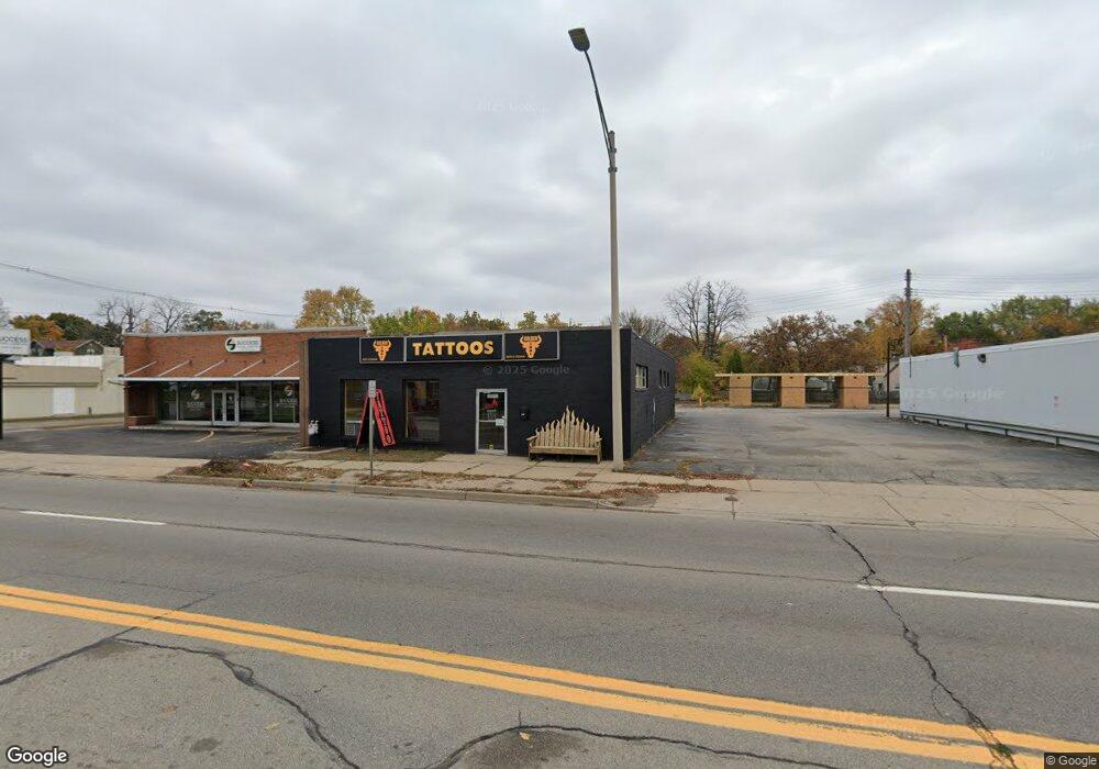
2513 S Cedar St Lansing, MI 48910
Clifford Park NeighborhoodEstimated Value: $140,917
Studio
--
Bath
4,068
Sq Ft
$35/Sq Ft
Est. Value
About This Home
This home is located at 2513 S Cedar St, Lansing, MI 48910 and is currently estimated at $140,917, approximately $34 per square foot. 2513 S Cedar St is a home located in Ingham County with nearby schools including Lyons Elementary School, Attwood School, and Eastern High School.
Ownership History
Date
Name
Owned For
Owner Type
Purchase Details
Closed on
Oct 4, 2021
Sold by
Roberts Bonna M and Davis Carol L
Bought by
Jagro Realty Llc
Current Estimated Value
Home Financials for this Owner
Home Financials are based on the most recent Mortgage that was taken out on this home.
Original Mortgage
$88,000
Outstanding Balance
$80,248
Interest Rate
2.8%
Mortgage Type
Commercial
Estimated Equity
$60,669
Purchase Details
Closed on
Feb 4, 2021
Sold by
Elyon Holdings Llc
Bought by
Roberts Bonna M
Create a Home Valuation Report for This Property
The Home Valuation Report is an in-depth analysis detailing your home's value as well as a comparison with similar homes in the area
Home Values in the Area
Average Home Value in this Area
Purchase History
| Date | Buyer | Sale Price | Title Company |
|---|---|---|---|
| Jagro Realty Llc | $110,000 | Liberty Title | |
| Roberts Bonna M | -- | None Available |
Source: Public Records
Mortgage History
| Date | Status | Borrower | Loan Amount |
|---|---|---|---|
| Open | Jagro Realty Llc | $88,000 |
Source: Public Records
Tax History
| Year | Tax Paid | Tax Assessment Tax Assessment Total Assessment is a certain percentage of the fair market value that is determined by local assessors to be the total taxable value of land and additions on the property. | Land | Improvement |
|---|---|---|---|---|
| 2025 | $6,872 | $108,300 | $8,800 | $99,500 |
| 2024 | $59 | $85,000 | $8,800 | $76,200 |
| 2023 | $6,604 | $82,800 | $10,000 | $72,800 |
| 2022 | $6,479 | $85,000 | $0 | $0 |
| 2021 | $6,850 | $97,500 | $10,000 | $87,500 |
| 2020 | $7,205 | $96,100 | $10,000 | $86,100 |
| 2019 | $9,943 | $93,200 | $10,000 | $83,200 |
| 2018 | $6,335 | $87,100 | $10,900 | $76,200 |
| 2017 | $6,249 | $87,100 | $10,900 | $76,200 |
| 2016 | $4,714 | $85,000 | $10,900 | $74,100 |
| 2015 | $4,714 | $78,500 | $21,850 | $56,650 |
| 2014 | $4,714 | $72,800 | $21,850 | $50,950 |
Source: Public Records
Map
Nearby Homes
- 2501 S Cedar St
- 318 E Greenlawn Ave
- 2600 Maplewood Ave
- 609 S Park Blvd
- 613 Tisdale Ave
- 630 E Greenlawn Ave
- 528 Riley St
- 2229 Forest Ave
- 2316 Forest Ave
- 413 E Hodge Ave
- 108 Dunlap St
- 320 E Hodge Ave
- 210 Dunlap St
- 215 Dunlap St
- 226 Dunlap St
- 3129 Cedarbrook Ave
- 3209 Stabler St
- 315 E Mount Hope Ave
- 311 E Mount Hope Ave
- 307 E Mount Hope Ave
- 2519 S Cedar St
- 2521 S Cedar St
- 524 Lincoln Ave
- 521 E Greenlawn Ave
- 528 Lincoln Ave
- 529 E Greenlawn Ave
- 532 Lincoln Ave
- 516 E Greenlawn Ave
- 533 E Greenlawn Ave
- 529 Lincoln Ave
- 520 E Greenlawn Ave
- 524 E Greenlawn Ave
- 528 E Greenlawn Ave
- 533 Lincoln Ave
- 516 Tisdale Ave
- 541 E Greenlawn Ave
- 532 E Greenlawn Ave
- 540 Lincoln Ave
- E Greenlawn Ave
- 524 Tisdale Ave
Your Personal Tour Guide
Ask me questions while you tour the home.