2515 Diamond Ln Scranton, SC 29591
Estimated Value: $55,000 - $196,000
3
Beds
1
Bath
1,344
Sq Ft
$96/Sq Ft
Est. Value
About This Home
This home is located at 2515 Diamond Ln, Scranton, SC 29591 and is currently estimated at $129,435, approximately $96 per square foot. 2515 Diamond Ln is a home located in Florence County with nearby schools including Ronald E. McNair Junior High School and Lake City High School.
Ownership History
Date
Name
Owned For
Owner Type
Purchase Details
Closed on
Aug 9, 2023
Sold by
Kennedy Sandra
Bought by
Garris Richard D
Current Estimated Value
Home Financials for this Owner
Home Financials are based on the most recent Mortgage that was taken out on this home.
Original Mortgage
$48,784
Interest Rate
6.71%
Mortgage Type
Construction
Purchase Details
Closed on
Jul 20, 2007
Sold by
Garris Joseph Leroy and Garris Linda
Bought by
Kennedy Sandra
Purchase Details
Closed on
Apr 22, 2003
Sold by
Kennedy Sandra L and Welch Sandra L Kennedy
Bought by
Garris Joseph Leroy and Garris Linda
Create a Home Valuation Report for This Property
The Home Valuation Report is an in-depth analysis detailing your home's value as well as a comparison with similar homes in the area
Purchase History
| Date | Buyer | Sale Price | Title Company |
|---|---|---|---|
| Garris Richard D | $35,000 | None Listed On Document | |
| Kennedy Sandra | -- | Attorney | |
| Garris Joseph Leroy | $37,000 | -- |
Source: Public Records
Mortgage History
| Date | Status | Borrower | Loan Amount |
|---|---|---|---|
| Closed | Garris Richard D | $48,784 |
Source: Public Records
Tax History
| Year | Tax Paid | Tax Assessment Tax Assessment Total Assessment is a certain percentage of the fair market value that is determined by local assessors to be the total taxable value of land and additions on the property. | Land | Improvement |
|---|---|---|---|---|
| 2025 | $1,012 | $1,754 | $254 | $1,500 |
| 2024 | $920 | $1,754 | $254 | $1,500 |
| 2023 | $150 | $1,754 | $255 | $1,499 |
| 2022 | $0 | $1,754 | $255 | $1,499 |
| 2021 | $175 | $1,750 | $0 | $0 |
| 2020 | $175 | $1,750 | $0 | $0 |
| 2019 | $116 | $1,754 | $255 | $1,499 |
| 2018 | $100 | $1,750 | $0 | $0 |
| 2017 | $100 | $1,750 | $0 | $0 |
| 2016 | $175 | $1,750 | $0 | $0 |
| 2015 | $192 | $1,750 | $0 | $0 |
| 2014 | $158 | $1,754 | $255 | $1,499 |
Source: Public Records
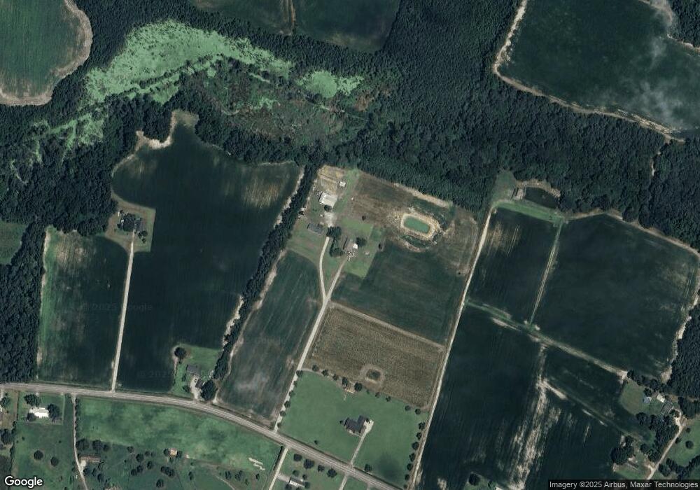
Map
Nearby Homes
- Tract 4 State Road S-21-881
- TBD Borkowitz Road Red Barn Tract
- TBD Red Barn Tr State Road S-21-881
- Tract 3 State Road S-21-881
- Tract 6 State Road S-21-881
- 2999 Fish Hawk Ln
- TBD Tract 1 Trinidad Ard Rd
- TBD Trinidad Ard Tract 6
- TBD Trinidad Ard Tract 3
- TBD Trinindad Ard Tract 5
- TBD Tract 6 Trinidad Ard Rd
- TBD Tract 3 Trinidad Ard Rd
- TBD Tract 4 Trinidad Ard Rd
- TBD Trinidad Ard Tract 2
- TBD Trinidad Ard Tract 1
- TBD Trinidad Ard Tract 4
- TBD Tract 5 Trinidad Ard Rd
- TBD Tract 2 Trinidad Ard Rd
- TBD 50.5 Ac off Union School Rd
- TBD 50 5 Acres Off Union School Rd
- 747 Borkowitz Rd
- 721 Borkowitz Rd
- 2540 Butternut Ln
- 817 Borkowitz Rd
- 810 Borkowitz Rd
- 752 Borkowitz Rd
- 2403 Ernest Ln
- 670 Borkowitz Rd
- 832 Borkowitz Rd
- 835 Borkowitz Rd
- 656 Borkowitz Rd
- Tract 7 State Road S-21-881
- 652 Borkowitz Rd
- 873 Borkowitz Rd
- 873 Borkowitz Rd
- 808 Borkowitz Rd
- 638 Borkowitz Rd
- 879 Borkowitz Rd
- 780 Anderson Bridge Rd
- 760 Farmer Ln
Your Personal Tour Guide
Ask me questions while you tour the home.