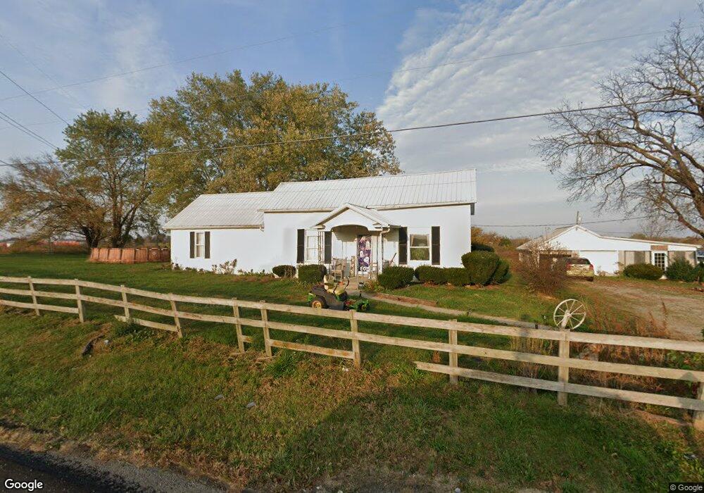
25155 State Route 41 Peebles, OH 45660
Estimated Value: $211,000 - $352,000
3
Beds
2
Baths
1,764
Sq Ft
$160/Sq Ft
Est. Value
About This Home
This home is located at 25155 State Route 41, Peebles, OH 45660 and is currently estimated at $282,524, approximately $160 per square foot. 25155 State Route 41 is a home located in Adams County with nearby schools including Peebles Elementary School and Peebles High School.
Ownership History
Date
Name
Owned For
Owner Type
Purchase Details
Closed on
Mar 26, 2021
Sold by
Fulton Sue Ellen and Fulton Louis
Bought by
Pettit Brittnie D and Mccann Mark
Current Estimated Value
Home Financials for this Owner
Home Financials are based on the most recent Mortgage that was taken out on this home.
Original Mortgage
$168,181
Outstanding Balance
$151,355
Interest Rate
2.8%
Mortgage Type
New Conventional
Estimated Equity
$131,169
Purchase Details
Closed on
Oct 22, 2019
Sold by
Fulton Louis M and Fulton Sue Ellen
Bought by
Fulton Sue Ellen
Purchase Details
Closed on
Jan 1, 1990
Bought by
Fulton Louis M
Create a Home Valuation Report for This Property
The Home Valuation Report is an in-depth analysis detailing your home's value as well as a comparison with similar homes in the area
Purchase History
We collect this data history from publicly available records. To have your information removed, we recommend requesting removal directly through your county’s website.
| Date | Buyer | Sale Price | Title Company |
|---|---|---|---|
| Pettit Brittnie D | $166,000 | American Homeland Title | |
| Fulton Sue Ellen | -- | None Available | |
| Fulton Louis M | -- | -- |
Source: Public Records
Mortgage History
We collect this data history from publicly available records. To have your information removed, we recommend requesting removal directly through your county’s website.
| Date | Status | Borrower | Loan Amount |
|---|---|---|---|
| Open | Pettit Brittnie D | $168,181 |
Source: Public Records
Tax History
| Year | Tax Paid | Tax Assessment Tax Assessment Total Assessment is a certain percentage of the fair market value that is determined by local assessors to be the total taxable value of land and additions on the property. | Land | Improvement |
|---|---|---|---|---|
| 2025 | $1,578 | $46,350 | $25,800 | $20,550 |
| 2024 | $1,578 | $46,350 | $25,800 | $20,550 |
| 2023 | $1,576 | $46,350 | $25,800 | $20,550 |
| 2022 | $1,576 | $37,810 | $22,440 | $15,370 |
| 2021 | $1,413 | $37,810 | $22,440 | $15,370 |
| 2020 | $1,444 | $37,810 | $22,440 | $15,370 |
| 2019 | $1,101 | $37,810 | $22,440 | $15,370 |
| 2018 | $987 | $35,250 | $22,440 | $12,810 |
| 2017 | $971 | $35,250 | $22,440 | $12,810 |
| 2016 | $969 | $35,250 | $22,440 | $12,810 |
| 2015 | $1,488 | $50,820 | $37,660 | $13,160 |
| 2014 | $1,489 | $50,820 | $37,660 | $13,160 |
Source: Public Records
Map
Nearby Homes
- 421 Shaker Run Rd
- 87 Mary St
- 78 3rd St
- 53 3rd St
- 35 Nicholas Dr
- 151 Limestone Crossing
- 182 Walnut St
- 10 N Main St
- 17 S Nixon Ave
- 60 East St
- 136 N Main St
- 625 Branscome Rd
- 182 Rarden Rd
- 224 High St
- 1425 Jacksonville Rd
- 150 Roslin Dr
- 748 Inlow Ave
- 0 Jacksonville Rd Unit 1875969
- A Inlow Ave
- 0 Inlow Ave - Tract 2 Unit 11653679
- 25236 State Route 41
- 18940 St Rt 41
- 0 Sr 41 32 Acres Unit 150216
- 24950 State Route 41
- 24950 State Route 41
- 2610 Measley Ridge Rd
- 24838 State Route 41
- 122.9ac State Route 41
- 20 Toller Rd
- 24820 State Route 41
- 50 Toller Rd
- 2437 Measley Ridge Rd
- 2480 Measley Ridge Rd
- 24776 State Route 41
- 24790 State Route 41
- 2403 Measley Ridge Rd
- 69 Toller Rd
- 2379 Measley Ridge Rd
- 2424 Measley Ridge Rd
- 24743 State Route 41
Your Personal Tour Guide
Ask me questions while you tour the home.