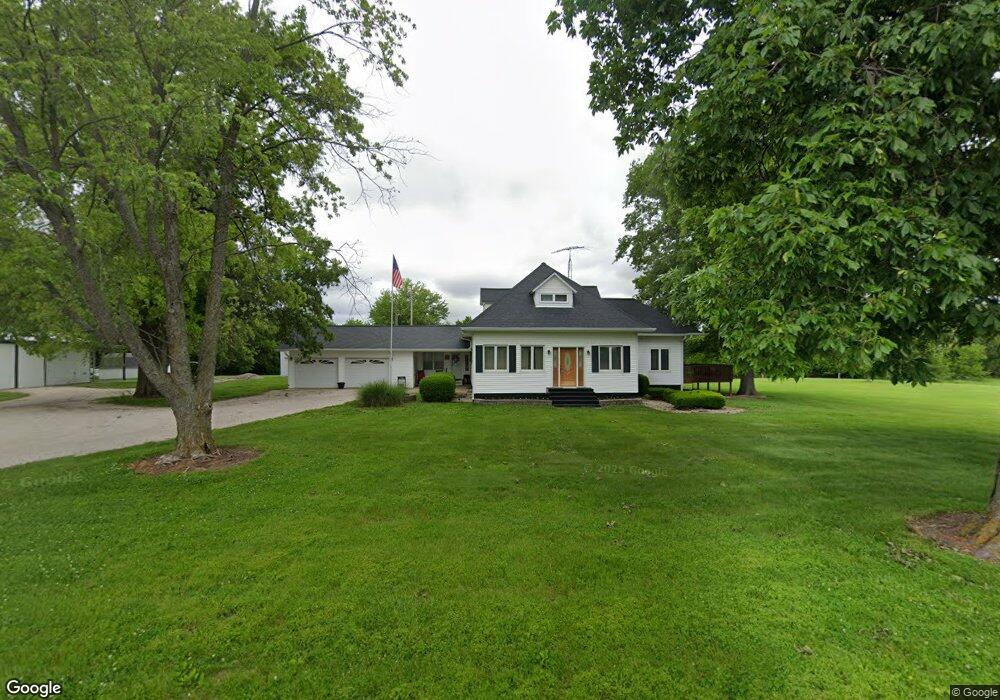
25181 E Blevins St Oakland, IL 61943
Estimated Value: $178,000 - $244,280
3
Beds
2
Baths
2,382
Sq Ft
$87/Sq Ft
Est. Value
About This Home
This home is located at 25181 E Blevins St, Oakland, IL 61943 and is currently estimated at $206,427, approximately $86 per square foot. 25181 E Blevins St is a home located in Coles County with nearby schools including Lake Crest Elementary School and Oakland High School.
Ownership History
Date
Name
Owned For
Owner Type
Purchase Details
Closed on
Apr 26, 2007
Sold by
Ellis Randy J
Bought by
Ellis Randy J and Ellis Michelle Yvonne
Current Estimated Value
Purchase Details
Closed on
Oct 30, 2006
Sold by
Coon Paul E
Bought by
Ellis Randy J
Home Financials for this Owner
Home Financials are based on the most recent Mortgage that was taken out on this home.
Original Mortgage
$142,962
Outstanding Balance
$85,369
Interest Rate
6.38%
Mortgage Type
FHA
Estimated Equity
$121,058
Create a Home Valuation Report for This Property
The Home Valuation Report is an in-depth analysis detailing your home's value as well as a comparison with similar homes in the area
Purchase History
| Date | Buyer | Sale Price | Title Company |
|---|---|---|---|
| Ellis Randy J | -- | None Available | |
| Ellis Randy J | -- | None Available |
Source: Public Records
Mortgage History
| Date | Status | Borrower | Loan Amount |
|---|---|---|---|
| Open | Ellis Randy J | $142,962 |
Source: Public Records
Tax History
| Year | Tax Paid | Tax Assessment Tax Assessment Total Assessment is a certain percentage of the fair market value that is determined by local assessors to be the total taxable value of land and additions on the property. | Land | Improvement |
|---|---|---|---|---|
| 2024 | $5,319 | $75,045 | $10,175 | $64,870 |
| 2023 | $3,687 | $75,045 | $10,175 | $64,870 |
| 2022 | $3,687 | $51,656 | $7,792 | $43,864 |
| 2021 | $3,575 | $46,684 | $7,042 | $39,642 |
| 2020 | $3,605 | $48,369 | $7,296 | $41,073 |
| 2019 | $3,600 | $46,684 | $7,042 | $39,642 |
| 2018 | $3,573 | $46,684 | $7,042 | $39,642 |
| 2017 | $3,703 | $46,684 | $7,042 | $39,642 |
| 2016 | $3,761 | $46,684 | $7,042 | $39,642 |
| 2015 | $3,707 | $46,684 | $7,042 | $39,642 |
| 2014 | $3,707 | $46,684 | $7,042 | $39,642 |
| 2013 | $3,707 | $46,684 | $7,042 | $39,642 |
Source: Public Records
Map
Nearby Homes
- 509 Lakeshore Dr
- 401 N Logan St
- 112 E Main St
- 110 N Pike St
- 115 W Lincoln St
- 112 S Walnut St
- 305 W Main St
- 22518 State Highway 133
- 0 E Co Road 1550 N
- 400 E 3rd St
- 20315 Airtight Rd
- 18051 North St
- 309 E North St
- 211 E Ashmore St
- 208 W Poplar St
- 4 W Ashmore St Unit A
- 104 E Cedar St
- 10 E Locust St
- CH 7 2360 E
- 309 E Charleston Rd
Your Personal Tour Guide
Ask me questions while you tour the home.