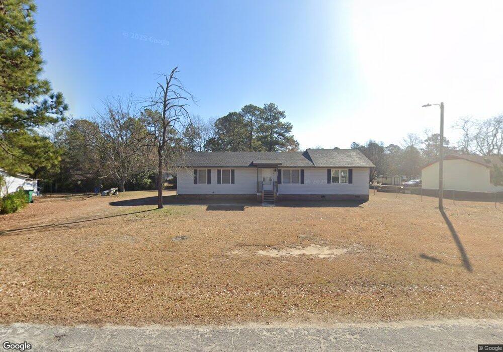
252 Independence Ave Sumter, SC 29153
Estimated Value: $117,967 - $156,000
3
Beds
1
Bath
1,024
Sq Ft
$134/Sq Ft
Est. Value
About This Home
This home is located at 252 Independence Ave, Sumter, SC 29153 and is currently estimated at $136,992, approximately $133 per square foot. 252 Independence Ave is a home located in Sumter County with nearby schools including Pocalla Springs Elementary School, Furman Middle School, and Lakewood High School.
Ownership History
Date
Name
Owned For
Owner Type
Purchase Details
Closed on
Oct 1, 2024
Sold by
House Adrienne and Clark Adrienna
Bought by
Jackson Lamoshia
Current Estimated Value
Purchase Details
Closed on
Jul 8, 2010
Sold by
Marshall Charles F and Marshall Charlotte C
Bought by
House Adrienna
Home Financials for this Owner
Home Financials are based on the most recent Mortgage that was taken out on this home.
Original Mortgage
$48,500
Interest Rate
4.77%
Mortgage Type
Purchase Money Mortgage
Purchase Details
Closed on
Feb 10, 2010
Sold by
Marshall Charles and Marshall Charles F
Bought by
Marshall Charles F and Marshall Charlotte C
Create a Home Valuation Report for This Property
The Home Valuation Report is an in-depth analysis detailing your home's value as well as a comparison with similar homes in the area
Purchase History
| Date | Buyer | Sale Price | Title Company |
|---|---|---|---|
| Jackson Lamoshia | -- | None Listed On Document | |
| House Adrienna | $51,000 | -- | |
| Marshall Charles F | -- | -- |
Source: Public Records
Mortgage History
| Date | Status | Borrower | Loan Amount |
|---|---|---|---|
| Previous Owner | House Adrienna | $48,500 |
Source: Public Records
Tax History
| Year | Tax Paid | Tax Assessment Tax Assessment Total Assessment is a certain percentage of the fair market value that is determined by local assessors to be the total taxable value of land and additions on the property. | Land | Improvement |
|---|---|---|---|---|
| 2025 | $1,316 | $3,170 | $570 | $2,600 |
| 2024 | $1,316 | $3,170 | $570 | $2,600 |
| 2023 | $1,097 | $3,170 | $570 | $2,600 |
| 2022 | $1,092 | $3,170 | $570 | $2,600 |
| 2021 | $1,034 | $3,170 | $570 | $2,600 |
| 2020 | $1,034 | $2,930 | $570 | $2,360 |
| 2019 | $1,022 | $2,930 | $570 | $2,360 |
| 2018 | $1,021 | $2,930 | $570 | $2,360 |
| 2017 | $1,016 | $2,930 | $570 | $2,360 |
| 2016 | $358 | $1,950 | $380 | $1,570 |
| 2015 | $365 | $1,990 | $380 | $1,610 |
| 2014 | $365 | $1,990 | $380 | $1,610 |
| 2013 | -- | $1,990 | $380 | $1,610 |
Source: Public Records
Map
Nearby Homes
- 1250 Coffey St
- 255 Tullah Dr
- 371 Curtis Dr
- 1060 Boulevard Rd
- 60 Habitat Ct
- 1042 Boulevard Rd
- 1010 State St
- 1030 State St
- 960 Morningside Dr
- 974 Meadowbrook Rd
- 944 Morningside Dr
- 956 Meadowbrook Rd
- 1234 Ivey St
- 34 Webb Ave
- 392 Brunswick Rd
- 827 Taylor St
- 812 Berry St
- 235 Rolling Creek Dr
- 1040 Race Track Rd
- 10 Earle St
- 246 Independence Ave
- 1232 Coffey St
- 1228 Coffey St
- 231 Memorial Ave
- 235 Memorial Ave
- 240 Independence Ave
- 1236 Coffey St
- 259 Independence Ave
- 251 Independence Ave
- 255 Independence Ave
- 247 Independence Ave
- 227 Memorial Ave
- 234 Independence Ave
- 239 Memorial Ave
- 1244 Coffey St
- 239 Independence Ave
- 243 Independence Ave
- 1225 Coffey St
- 1237 Coffey St
- 1221 Coffey St
Your Personal Tour Guide
Ask me questions while you tour the home.