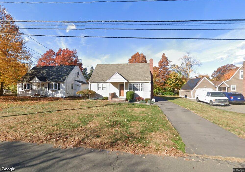
252 Pershing Ave New Britain, CT 06053
Estimated Value: $255,000 - $316,000
About This Home
This home is located at 252 Pershing Ave, New Britain, CT 06053 and is currently estimated at $295,609, approximately $256 per square foot. 252 Pershing Ave is a home located in Hartford County with nearby schools including Gaffney School and Slade Middle School.
Ownership History
We collect this data history from publicly available records. To have your information removed, we recommend requesting removal directly through your county’s website.
Purchase Details
Home Financials for this Owner
Home Financials are based on the most recent Mortgage that was taken out on this home.Home Values in the Area
Average Home Value in this Area
Purchase History
We collect this data history from publicly available records. To have your information removed, we recommend requesting removal directly through your county’s website.
| Date | Buyer | Sale Price | Title Company |
|---|---|---|---|
| $120,000 | -- |
Mortgage History
We collect this data history from publicly available records. To have your information removed, we recommend requesting removal directly through your county’s website.
| Date | Status | Borrower | Loan Amount |
|---|---|---|---|
| Open | $45,000 |
Tax History
We collect this data history from publicly available records. To have your information removed, we recommend requesting removal directly through your county’s website.
| Year | Tax Paid | Tax Assessment Tax Assessment Total Assessment is a certain percentage of the fair market value that is determined by local assessors to be the total taxable value of land and additions on the property. | Land | Improvement |
|---|---|---|---|---|
| 2025 | $5,578 | $142,380 | $52,500 | $89,880 |
| 2024 | $5,637 | $142,380 | $52,500 | $89,880 |
| 2023 | $5,450 | $142,380 | $52,500 | $89,880 |
| 2022 | $4,681 | $94,570 | $24,220 | $70,350 |
| 2021 | $4,681 | $94,570 | $24,220 | $70,350 |
| 2020 | $4,776 | $94,570 | $24,220 | $70,350 |
| 2019 | $4,776 | $94,570 | $24,220 | $70,350 |
| 2018 | $4,776 | $94,570 | $24,220 | $70,350 |
| 2017 | $4,182 | $82,810 | $20,160 | $62,650 |
| 2016 | $4,182 | $82,810 | $20,160 | $62,650 |
| 2015 | $4,058 | $82,810 | $20,160 | $62,650 |
| 2014 | $4,058 | $82,810 | $20,160 | $62,650 |
Map
- 1812 Corbin Ave
- 383 Osgood Ave
- 83 Kerin Dr
- 2041 Corbin Ave
- 132 Neanda St
- 822 Slater Rd
- 134 Golden Hill St
- 31 Richard St
- 37 Richard St
- 25 Clinton St
- 376 Broad St
- 201 Pierremount Ave Unit D
- 237 Burritt St
- 16 Ardmore St
- 165 Smith St
- 77 Osgood Ave
- 181 Gold St
- 410 Farmington Ave Unit G6
- 485 High St Unit C
- 43 Westover Rd
- 248 Pershing Ave
- 262 Pershing Ave
- 63 Rome St
- 55 Rome St
- 234 Pershing Ave
- 71 Rome St
- 266 Pershing Ave
- 255 Pershing Ave
- 245 Pershing Ave
- 43 Rome St
- 265 Pershing Ave
- 226 Pershing Ave
- 235 Pershing Ave
- 276 Pershing Ave
- 83 Rome St
- 37 Rome St
- 271 Pershing Ave
- 222 Pershing Ave
- 229 Pershing Ave
- 163 Maplehurst Ave
Ask me questions while you tour the home.