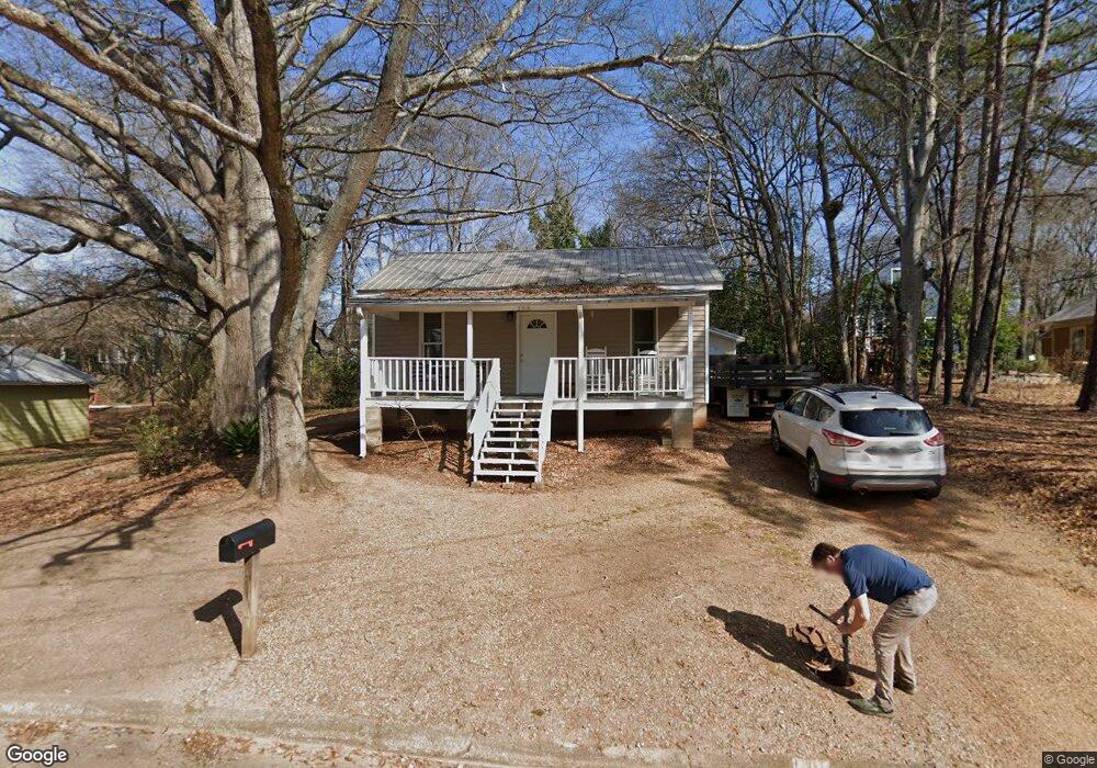
252 Ridge Ave Athens, GA 30601
Chicopee-Dudley NeighborhoodEstimated Value: $234,863 - $272,000
Studio
--
Bath
848
Sq Ft
$296/Sq Ft
Est. Value
About This Home
This home is located at 252 Ridge Ave, Athens, GA 30601 and is currently estimated at $250,716, approximately $295 per square foot. 252 Ridge Ave is a home located in Clarke County with nearby schools including Howard B. Stroud Elementary School, Coile Middle School, and Cedar Shoals High School.
Ownership History
Date
Name
Owned For
Owner Type
Purchase Details
Closed on
Oct 21, 2009
Sold by
Drew Dekle Construction Ll
Bought by
Matthews Ansley
Current Estimated Value
Purchase Details
Closed on
Aug 3, 2009
Sold by
Fleming Frank
Bought by
Drew Dekle Construction Llc
Purchase Details
Closed on
Jan 3, 1992
Sold by
Johnson Mark C and Fleming Frank N
Bought by
Fleming Frank
Purchase Details
Closed on
Oct 25, 1989
Sold by
Fleeman Joyce Adams
Bought by
Fleming Frank and Mark Johnson
Create a Home Valuation Report for This Property
The Home Valuation Report is an in-depth analysis detailing your home's value as well as a comparison with similar homes in the area
Home Values in the Area
Average Home Value in this Area
Purchase History
We collect this data history from publicly available records. To have your information removed, we recommend requesting removal directly through your county’s website.
| Date | Buyer | Sale Price | Title Company |
|---|---|---|---|
| Matthews Ansley | $98,000 | -- | |
| Drew Dekle Construction Llc | $78,750 | -- | |
| Fleming Frank | -- | -- | |
| Fleming Frank | -- | -- |
Source: Public Records
Mortgage History
We collect this data history from publicly available records. To have your information removed, we recommend requesting removal directly through your county’s website.
| Date | Status | Borrower | Loan Amount |
|---|---|---|---|
| Closed | Drew Dekle Construction Llc | $0 |
Source: Public Records
Tax History
| Year | Tax Paid | Tax Assessment Tax Assessment Total Assessment is a certain percentage of the fair market value that is determined by local assessors to be the total taxable value of land and additions on the property. | Land | Improvement |
|---|---|---|---|---|
| 2025 | $1,960 | $80,092 | $26,000 | $54,092 |
| 2024 | $1,960 | $77,404 | $26,000 | $51,404 |
| 2023 | $1,156 | $71,994 | $24,000 | $47,994 |
| 2022 | $1,580 | $59,528 | $18,000 | $41,528 |
| 2021 | $1,376 | $50,840 | $17,000 | $33,840 |
| 2020 | $1,244 | $46,921 | $17,000 | $29,921 |
| 2019 | $1,151 | $43,906 | $17,000 | $26,906 |
| 2018 | $1,028 | $40,288 | $17,000 | $23,288 |
| 2017 | $967 | $38,480 | $17,000 | $21,480 |
| 2016 | $943 | $37,776 | $17,000 | $20,776 |
| 2015 | $890 | $36,168 | $17,000 | $19,168 |
| 2014 | $871 | $35,565 | $17,000 | $18,565 |
Source: Public Records
Map
Nearby Homes
- 185 First St
- 178 First St
- 241 Pearl St
- 560 Rosa Nell Howard St
- 447 Rosa Nell Howard St
- 171 W Carver Dr
- 248 Fifth St
- 169 Vine St
- 249 Fifth St
- 537 N Peter St
- 1295 E Broad St Unit C5
- 1295 E Broad St
- 132 N Poplar St
- 755 E Broad St Unit 820
- 755 E Broad St Unit 803
- 755 E Broad St Unit 903
- 755 E Broad St Unit 820
- 126 S Poplar St
- 146 N Peter St
- 136 N Peter St
Your Personal Tour Guide
Ask me questions while you tour the home.