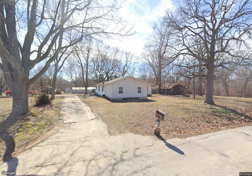
25208 Pine Rd Oronogo, MO 64855
Estimated Value: $198,000
Studio
1
Bath
1,576
Sq Ft
$126/Sq Ft
Est. Value
About This Home
This home is located at 25208 Pine Rd, Oronogo, MO 64855 and is currently estimated at $198,000, approximately $125 per square foot. 25208 Pine Rd is a home located in Jasper County with nearby schools including Carl Junction Primary School (K-1), Carl Junction Intermediate School, and Carl Junction Primary School (2-3).
Ownership History
Date
Name
Owned For
Owner Type
Purchase Details
Closed on
Aug 6, 2008
Sold by
Ramsey Geraldine Joan and Ramsey Robert Lee
Bought by
Sullivan John L and Sullivan Debbie K
Current Estimated Value
Home Financials for this Owner
Home Financials are based on the most recent Mortgage that was taken out on this home.
Original Mortgage
$78,750
Outstanding Balance
$51,824
Interest Rate
6.47%
Mortgage Type
Commercial
Estimated Equity
$146,176
Create a Home Valuation Report for This Property
The Home Valuation Report is an in-depth analysis detailing your home's value as well as a comparison with similar homes in the area
Purchase History
| Date | Buyer | Sale Price | Title Company |
|---|---|---|---|
| Sullivan John L | -- | Jct |
Source: Public Records
Mortgage History
| Date | Status | Borrower | Loan Amount |
|---|---|---|---|
| Open | Sullivan John L | $78,750 |
Source: Public Records
Tax History
| Year | Tax Paid | Tax Assessment Tax Assessment Total Assessment is a certain percentage of the fair market value that is determined by local assessors to be the total taxable value of land and additions on the property. | Land | Improvement |
|---|---|---|---|---|
| 2025 | $790 | $15,660 | $2,830 | $12,830 |
| 2024 | $752 | $14,720 | $2,830 | $11,890 |
| 2023 | $752 | $14,010 | $2,830 | $11,180 |
| 2022 | $751 | $13,920 | $2,830 | $11,090 |
| 2021 | $706 | $13,920 | $2,830 | $11,090 |
| 2020 | $678 | $13,140 | $2,830 | $10,310 |
| 2019 | $679 | $13,140 | $2,830 | $10,310 |
| 2018 | $633 | $12,260 | $0 | $0 |
| 2017 | $596 | $12,260 | $0 | $0 |
| 2016 | $627 | $13,000 | $0 | $0 |
Source: Public Records
Map
Nearby Homes
- Tbd County Road 270
- 13106 County Lane 268
- 000 Cr 290
- 000 290 Cr
- 0001 Cr-290
- 0002 Cr-290
- 13786 County Road 270
- 21810 Nimble Ln
- 0000 Kafir Rd
- 24811 Kafir Rd
- 10970 County Road 240
- 453 Stockholm St
- 9742 County Road 260
- TBD Kafir Rd
- 0 Kafir Rd Unit HMS2589605
- 10437 County Road 270
- 301 W High St
- 25629 Kafir Rd
- 112 Orchard St
- 1106 Pawpaw Place
- 25058 Pine Rd
- 24908 Pine Rd
- 16255 County Road 255
- 16330 County Road 255
- 15714 County Road 255
- 24678 Pine Rd
- 24638 Pine Rd
- 15601 County Road 255
- 15661 County Road 255
- 15505 County Road 255
- 15505 Cty Rd 255 N A
- 25029 Pecan Rd
- 15374 County Road 255
- 15347 County Road 255
- 25074 Base Line Blvd
- 25735 Park Ln
- 24879 Pecan Rd
- 25646 Park Ln
- 25075 Base Line Blvd
- 25706 Park Ln
Your Personal Tour Guide
Ask me questions while you tour the home.