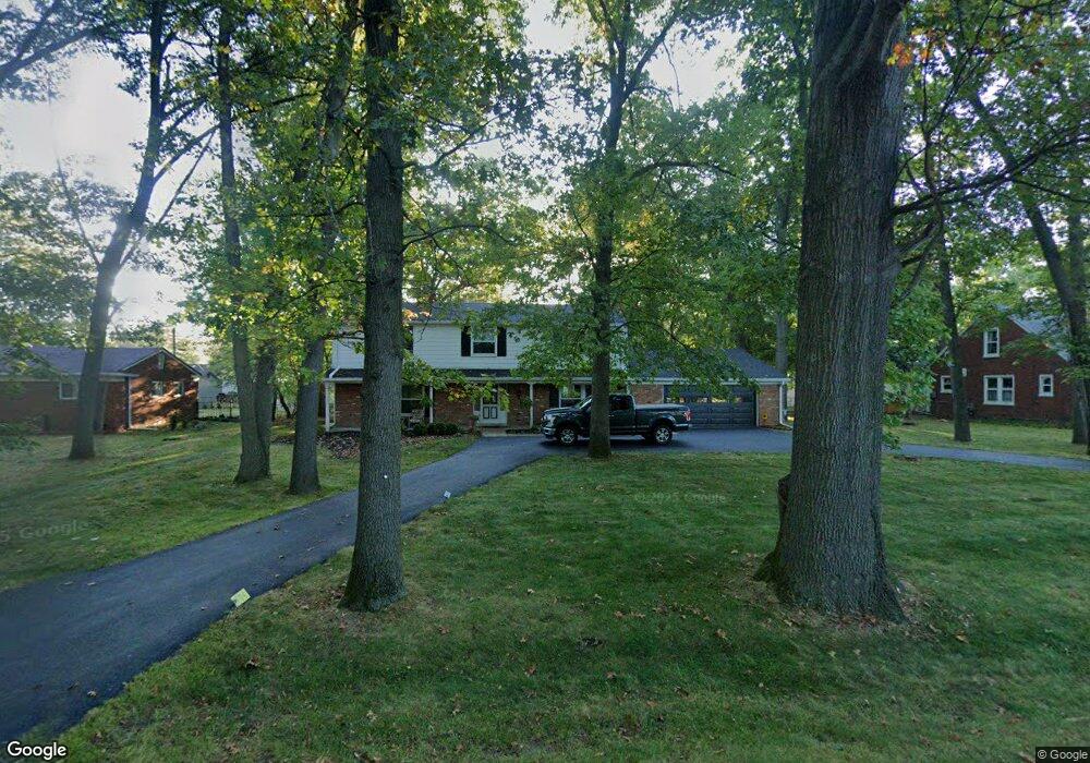
25232 Code Rd Southfield, MI 48033
Estimated Value: $317,385 - $458,000
Studio
3
Baths
2,819
Sq Ft
$133/Sq Ft
Est. Value
About This Home
This home is located at 25232 Code Rd, Southfield, MI 48033 and is currently estimated at $374,096, approximately $132 per square foot. 25232 Code Rd is a home located in Oakland County with nearby schools including Morris Adler Elementary School, Glenn W. Levey Middle School, and Laurus Academy.
Ownership History
Date
Name
Owned For
Owner Type
Purchase Details
Closed on
Aug 2, 2001
Sold by
Mcneil Vera Y
Bought by
Blackburn Vera Y
Current Estimated Value
Home Financials for this Owner
Home Financials are based on the most recent Mortgage that was taken out on this home.
Original Mortgage
$225,911
Interest Rate
6.69%
Mortgage Type
Purchase Money Mortgage
Purchase Details
Closed on
Aug 14, 1998
Sold by
Healy Mary Lousie
Bought by
Mcneil Vera Y
Home Financials for this Owner
Home Financials are based on the most recent Mortgage that was taken out on this home.
Original Mortgage
$144,000
Interest Rate
7.04%
Mortgage Type
Purchase Money Mortgage
Create a Home Valuation Report for This Property
The Home Valuation Report is an in-depth analysis detailing your home's value as well as a comparison with similar homes in the area
Home Values in the Area
Average Home Value in this Area
Purchase History
| Date | Buyer | Sale Price | Title Company |
|---|---|---|---|
| Blackburn Vera Y | -- | -- | |
| Mcneil Vera Y | $180,000 | -- |
Source: Public Records
Mortgage History
| Date | Status | Borrower | Loan Amount |
|---|---|---|---|
| Previous Owner | Blackburn Vera Y | $225,911 | |
| Previous Owner | Mcneil Vera Y | $144,000 |
Source: Public Records
Tax History
| Year | Tax Paid | Tax Assessment Tax Assessment Total Assessment is a certain percentage of the fair market value that is determined by local assessors to be the total taxable value of land and additions on the property. | Land | Improvement |
|---|---|---|---|---|
| 2025 | $4,091 | $153,780 | $24,900 | $128,880 |
| 2022 | $3,447 | $150,280 | $22,770 | $127,510 |
| 2021 | $3,548 | $138,360 | $22,770 | $115,590 |
| 2020 | $3,090 | $125,960 | $19,800 | $106,160 |
| 2018 | $3,656 | $76,640 | $10,000 | $66,640 |
| 2015 | -- | $58,810 | $0 | $0 |
| 2014 | -- | $52,780 | $0 | $0 |
| 2011 | -- | $51,860 | $0 | $0 |
Source: Public Records
Map
Nearby Homes
- 25150 Briarbank Ave
- 25835 Lahser Rd Unit 5
- 25555 Lahser Rd Unit 15
- 25160 Lahser Rd
- 24818 Lois Ln
- 23409 Ranch Hill Dr W
- 22664 W 11 Mile Rd Unit 10
- 21516 Mcclung Ave
- 22465 Kenwyck Dr
- 21963 Deer Brook Dr Unit 1
- 21955 Deer Brook Dr Unit 3
- 21959 Deer Brook Dr Unit 2
- 21951 Deer Brook Dr Unit 4
- 21812 Duns Scotus St Unit 7
- 21821 Concord St
- 24733 Primrose Ln
- 24642 Primrose Ln
- 24744 Cashmere Ct Unit 119
- 20217 Boardwalk Blvd
- 20267 Rodeo Ct
- 25266 Code Rd
- 25233 Briarbank Ave
- 25247 Briarbank Ave
- 25174 Code Rd
- 25221 Briarbank Ave
- 25261 Briarbank Ave
- 25280 Code Rd
- 25201 Briarbank Ave
- 25168 Code Rd
- 25265 Code Rd
- 25281 Code Rd
- 25228 Briarbank Ave
- 25260 Briarbank Ave
- 25601 Code Rd
- 25280 Briarbank Ave
- 22470 Charter St
- 25525 Briarbank Ave
- 25184 Briarbank Ave
- 25655 Code Rd
- 22301 Charter St
Your Personal Tour Guide
Ask me questions while you tour the home.