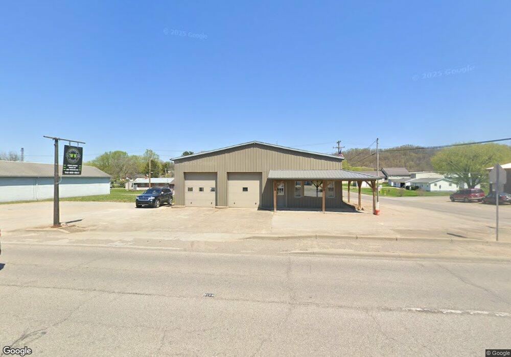
253 Main St Duncan Falls, OH 43734
Estimated Value: $172,687
Studio
--
Bath
3,384
Sq Ft
$51/Sq Ft
Est. Value
About This Home
This home is located at 253 Main St, Duncan Falls, OH 43734 and is currently estimated at $172,687, approximately $51 per square foot. 253 Main St is a home located in Muskingum County with nearby schools including Philo High School.
Ownership History
Date
Name
Owned For
Owner Type
Purchase Details
Closed on
Sep 16, 2016
Bought by
L Paynter Shad and Molly S Paynter
Current Estimated Value
Home Financials for this Owner
Home Financials are based on the most recent Mortgage that was taken out on this home.
Interest Rate
3.5%
Purchase Details
Closed on
Mar 15, 2012
Sold by
Sanders Rebecca L
Bought by
Department Of Transportation
Purchase Details
Closed on
Mar 21, 2011
Sold by
Sanders Francis E
Bought by
Sanders Rebecca L
Purchase Details
Closed on
Feb 7, 2007
Sold by
Shook Michael L
Bought by
Sanders Francis E and Sanders Rebecca L
Purchase Details
Closed on
Mar 18, 1996
Sold by
Shook Michael L
Bought by
Sanders Francis E and Sanders Rebecca L
Create a Home Valuation Report for This Property
The Home Valuation Report is an in-depth analysis detailing your home's value as well as a comparison with similar homes in the area
Purchase History
| Date | Buyer | Sale Price | Title Company |
|---|---|---|---|
| L Paynter Shad | $45,000 | -- | |
| Department Of Transportation | $159 | Attorney | |
| Sanders Rebecca L | -- | Attorney | |
| Sanders Rebecca L | -- | None Available | |
| Sanders Francis E | $58,000 | Attorney | |
| Sanders Francis E | $58,000 | -- |
Source: Public Records
Mortgage History
| Date | Status | Borrower | Loan Amount |
|---|---|---|---|
| Closed | L Paynter Shad | -- |
Source: Public Records
Tax History
| Year | Tax Paid | Tax Assessment Tax Assessment Total Assessment is a certain percentage of the fair market value that is determined by local assessors to be the total taxable value of land and additions on the property. | Land | Improvement |
|---|---|---|---|---|
| 2025 | $1,389 | $23,555 | $3,220 | $20,335 |
| 2024 | $960 | $23,555 | $3,220 | $20,335 |
| 2023 | $944 | $22,015 | $3,220 | $18,795 |
| 2022 | $915 | $22,015 | $3,220 | $18,795 |
| 2021 | $900 | $22,015 | $3,220 | $18,795 |
| 2020 | $894 | $22,015 | $3,220 | $18,795 |
| 2019 | $894 | $22,015 | $3,220 | $18,795 |
| 2018 | $914 | $22,015 | $3,220 | $18,795 |
| 2017 | $837 | $19,180 | $3,220 | $15,960 |
| 2016 | $478 | $10,890 | $3,220 | $7,670 |
| 2015 | $489 | $10,890 | $3,220 | $7,670 |
| 2013 | $594 | $10,860 | $3,190 | $7,670 |
Source: Public Records
Map
Nearby Homes
- 243 Mill St
- 293 Elm St
- 385 Water St
- 512 North St
- 134 Main St
- 252 Front St
- 0 3rd St
- 960 3rd St
- 6625 S River Rd
- 3100 Durant Rd
- 4145 Old River Rd
- 0 Sealover Hollow Rd
- 2630 Wilhelm Rd
- 7305 Dietrick Hill Rd
- 1685 Fattler Ridge Rd
- 7555 Dietrick Hill Rd
- 3900 Chandlersville Rd
- 3060 Wayne Ridge Rd
- 2519 Frick Dr
- 3010 Corbin Dr
Your Personal Tour Guide
Ask me questions while you tour the home.