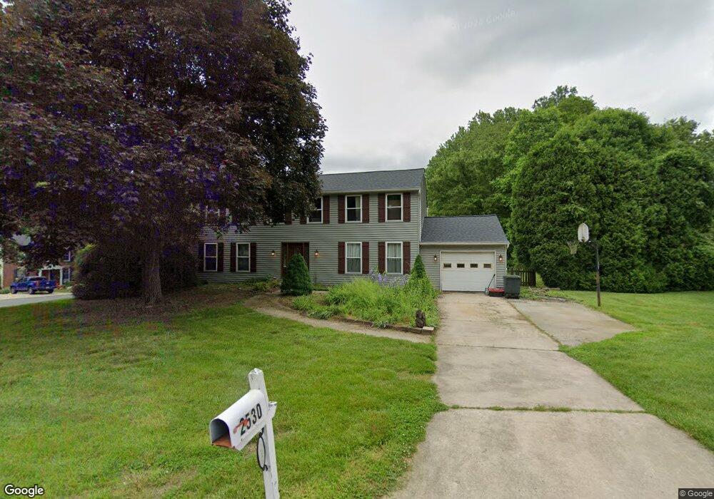
2530 Parliament Dr Abingdon, MD 21009
Estimated Value: $493,000 - $573,000
About This Home
This home is located at 2530 Parliament Dr, Abingdon, MD 21009 and is currently estimated at $535,537, approximately $221 per square foot. 2530 Parliament Dr is a home located in Harford County with nearby schools including Homestead-Wakefield Elementary School, Patterson Mill Middle School, and Patterson Mill High School.
Ownership History
We collect this data history from publicly available records. To have your information removed, we recommend requesting removal directly through your county’s website.
Purchase Details
Home Financials for this Owner
Home Financials are based on the most recent Mortgage that was taken out on this home.Purchase Details
Home Financials for this Owner
Home Financials are based on the most recent Mortgage that was taken out on this home.Home Values in the Area
Average Home Value in this Area
Purchase History
We collect this data history from publicly available records. To have your information removed, we recommend requesting removal directly through your county’s website.
| Date | Buyer | Sale Price | Title Company |
|---|---|---|---|
| $171,000 | -- | ||
| $180,000 | -- |
Mortgage History
We collect this data history from publicly available records. To have your information removed, we recommend requesting removal directly through your county’s website.
| Date | Status | Borrower | Loan Amount |
|---|---|---|---|
| Closed | $174,400 | ||
| Previous Owner | $110,000 |
Tax History
We collect this data history from publicly available records. To have your information removed, we recommend requesting removal directly through your county’s website.
| Year | Tax Paid | Tax Assessment Tax Assessment Total Assessment is a certain percentage of the fair market value that is determined by local assessors to be the total taxable value of land and additions on the property. | Land | Improvement |
|---|---|---|---|---|
| 2025 | $4,196 | $412,900 | $0 | $0 |
| 2024 | $4,196 | $385,000 | $0 | $0 |
| 2023 | $3,892 | $357,100 | $100,800 | $256,300 |
| 2022 | $3,817 | $350,200 | $0 | $0 |
| 2021 | $3,882 | $343,300 | $0 | $0 |
| 2020 | $3,882 | $336,400 | $100,800 | $235,600 |
| 2019 | $3,842 | $332,967 | $0 | $0 |
| 2018 | $3,768 | $329,533 | $0 | $0 |
| 2017 | $3,729 | $326,100 | $0 | $0 |
| 2016 | -- | $323,300 | $0 | $0 |
| 2015 | $3,670 | $320,500 | $0 | $0 |
| 2014 | $3,670 | $317,700 | $0 | $0 |
Map
- 403 Amy Dr
- 2606 Smallwood Dr
- 2623 E Rhododendron Dr
- 414 Abbey Cir
- 922 Sidehill Dr
- 208 Yellow Brick Ct
- 2513 Kenna Ct Unit 7
- 2509 Kenna Ct Unit 5
- 745 Dowers Rd
- 2791 Live Oak Ct
- 2222 Kempton Park Cir
- 108 Laurel Valley Ct
- 211 E Wheel Rd
- 2121 Overlook Ct
- 354 Point to Point Rd
- 773 Burgh Westra Way
- 2231 Gelding Way
- 763 Burgh Westra Way
- 2624 Merrick Way
- 2000 Treese Unit DEVONSHIRE
- 405 Amy Dr
- 2528 Parliament Dr
- 2526 Parliament Dr
- 2524 Parliament Dr
- 402 Amy Dr
- 407 Amy Dr
- 400 Amy Dr
- 404 Amy Dr
- 2522 Parliament Dr
- 324 Amy Dr
- 2533 Parliament Dr
- 2539 Parliament Dr
- 2541 Parliament Dr
- 2537 Parliament Dr
- 406 Amy Dr
- 409 Amy Dr
- 2520 Parliament Dr
- 2535 Parliament Dr
- 322 Amy Dr
- 2529 Parliament Dr
Ask me questions while you tour the home.