Estimated Value: $243,000 - $277,000
3
Beds
2
Baths
1,176
Sq Ft
$222/Sq Ft
Est. Value
About This Home
This home is located at 2530 Tower Dr, Dover, PA 17315 and is currently estimated at $261,231, approximately $222 per square foot. 2530 Tower Dr is a home located in York County with nearby schools including Dover Area High School and Lighthouse Christian School.
Ownership History
Date
Name
Owned For
Owner Type
Purchase Details
Closed on
Jul 29, 2021
Sold by
Geesey Robert L and Geesey Beth A
Bought by
Reisinger Shelby L and Roelke Jeffrey L
Current Estimated Value
Home Financials for this Owner
Home Financials are based on the most recent Mortgage that was taken out on this home.
Original Mortgage
$148,750
Outstanding Balance
$133,268
Interest Rate
2.93%
Mortgage Type
New Conventional
Estimated Equity
$127,963
Purchase Details
Closed on
Nov 20, 1985
Bought by
Geesey Robert L and Geesey Beth A
Create a Home Valuation Report for This Property
The Home Valuation Report is an in-depth analysis detailing your home's value as well as a comparison with similar homes in the area
Home Values in the Area
Average Home Value in this Area
Purchase History
We collect this data history from publicly available records. To have your information removed, we recommend requesting removal directly through your county’s website.
| Date | Buyer | Sale Price | Title Company |
|---|---|---|---|
| Reisinger Shelby L | $175,000 | None Available | |
| Geesey Robert L | $63,700 | -- |
Source: Public Records
Mortgage History
We collect this data history from publicly available records. To have your information removed, we recommend requesting removal directly through your county’s website.
| Date | Status | Borrower | Loan Amount |
|---|---|---|---|
| Open | Reisinger Shelby L | $148,750 |
Source: Public Records
Tax History
| Year | Tax Paid | Tax Assessment Tax Assessment Total Assessment is a certain percentage of the fair market value that is determined by local assessors to be the total taxable value of land and additions on the property. | Land | Improvement |
|---|---|---|---|---|
| 2026 | $4,144 | $123,850 | $25,200 | $98,650 |
| 2025 | $4,063 | $123,850 | $25,200 | $98,650 |
| 2024 | $4,026 | $123,850 | $25,200 | $98,650 |
| 2023 | $4,026 | $123,850 | $25,200 | $98,650 |
| 2022 | $3,953 | $123,850 | $25,200 | $98,650 |
| 2021 | $3,730 | $123,850 | $25,200 | $98,650 |
| 2020 | $3,696 | $123,850 | $25,200 | $98,650 |
| 2019 | $3,650 | $123,850 | $25,200 | $98,650 |
| 2018 | $3,559 | $123,850 | $25,200 | $98,650 |
| 2017 | $3,559 | $123,850 | $25,200 | $98,650 |
| 2016 | $0 | $123,850 | $25,200 | $98,650 |
| 2015 | -- | $123,850 | $25,200 | $98,650 |
| 2014 | -- | $123,850 | $25,200 | $98,650 |
Source: Public Records
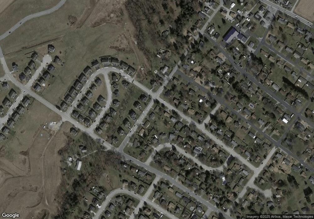
Map
Nearby Homes
- 3741 Stonehouse Ln
- 2625 Village Rd
- 2602 Brownstone Dr
- 2601 Village Rd
- 3471 Holly Rd
- 3711 AB Tiffany Dr
- 2571 Locust Rd
- 3828 Country Dr
- 3650 Rock Creek Dr
- 3855 Country Dr
- 2658 Victorian Dr
- 2662 Victorian Dr
- 3843 Castle Dr
- 3835 Castle Dr
- 3809 Castle Dr
- 2677 Victorian Dr
- 2653 Victorian Dr
- 2661 Victorian Dr
- 3842 Castle Dr
- 3840 Castle Dr
- 2520 Tower Dr
- 2531 Tower Dr
- 2521 Tower Dr
- 3640 Village Rd
- 2510 Tower Dr
- 2540 Tower Dr
- 3631 Village Rd
- 2511 Tower Dr
- 2541 Tower Dr
- 3630 Village Rd
- 3621 Middleboro Rd
- 3621 Village Rd
- 2550 Tower Dr
- 3631 Middleboro Rd
- 3611 Middleboro Rd
- 3620 Village Rd
- 2551 Tower Dr
- 3640 Holly Rd
- 3611 Village Rd
- 3630 Holly Rd
Your Personal Tour Guide
Ask me questions while you tour the home.