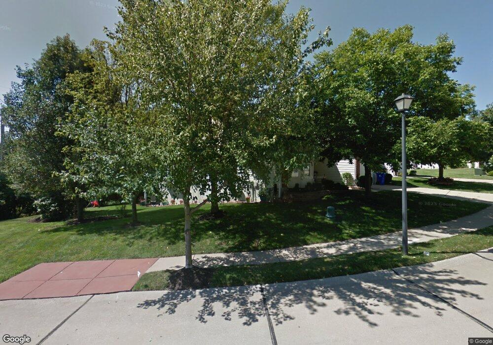
2537 Newpoint Dr Ballwin, MO 63011
Estimated Value: $396,000 - $426,187
3
Beds
3
Baths
2,604
Sq Ft
$157/Sq Ft
Est. Value
About This Home
This home is located at 2537 Newpoint Dr, Ballwin, MO 63011 and is currently estimated at $408,547, approximately $156 per square foot. 2537 Newpoint Dr is a home located in St. Louis County with nearby schools including Green Pines Elementary School, Wildwood Middle School, and Lafayette High School.
Ownership History
Date
Name
Owned For
Owner Type
Purchase Details
Closed on
Sep 26, 2002
Sold by
Mcnearney Homes Llc
Bought by
Brand Beverly A
Current Estimated Value
Home Financials for this Owner
Home Financials are based on the most recent Mortgage that was taken out on this home.
Original Mortgage
$250,200
Outstanding Balance
$97,892
Interest Rate
5.5%
Estimated Equity
$310,656
Create a Home Valuation Report for This Property
The Home Valuation Report is an in-depth analysis detailing your home's value as well as a comparison with similar homes in the area
Home Values in the Area
Average Home Value in this Area
Purchase History
| Date | Buyer | Sale Price | Title Company |
|---|---|---|---|
| Brand Beverly A | $278,445 | -- |
Source: Public Records
Mortgage History
| Date | Status | Borrower | Loan Amount |
|---|---|---|---|
| Open | Brand Beverly A | $250,200 |
Source: Public Records
Tax History
| Year | Tax Paid | Tax Assessment Tax Assessment Total Assessment is a certain percentage of the fair market value that is determined by local assessors to be the total taxable value of land and additions on the property. | Land | Improvement |
|---|---|---|---|---|
| 2025 | $4,436 | $69,780 | $14,950 | $54,830 |
| 2024 | $4,436 | $63,800 | $9,350 | $54,450 |
| 2023 | $4,436 | $63,800 | $9,350 | $54,450 |
| 2022 | $4,328 | $57,860 | $10,280 | $47,580 |
| 2021 | $4,296 | $57,860 | $10,280 | $47,580 |
| 2020 | $4,334 | $55,650 | $11,210 | $44,440 |
| 2019 | $4,351 | $55,650 | $11,210 | $44,440 |
| 2018 | $4,217 | $50,860 | $13,090 | $37,770 |
| 2017 | $4,117 | $50,860 | $13,090 | $37,770 |
| 2016 | $3,898 | $46,320 | $11,210 | $35,110 |
| 2015 | $3,819 | $46,320 | $11,210 | $35,110 |
| 2014 | $3,576 | $42,300 | $14,900 | $27,400 |
Source: Public Records
Map
Nearby Homes
- 2529 Westglen Farms Dr
- 16421 Hollister Crossing Dr
- 16555 Birch Forest Dr
- 2437 August Grove Ct
- 2479 August Grove Ct
- 192 Cherry Hills Meadows Dr
- 413 Lea Harbor Ct
- 16243 Waterfront Way
- 16346 Copperwood Ln
- 2329 Hunters Crest Dr
- 133 Jubilee Hill Dr Unit J
- 16500 Jubilee Hill Spur Unit A
- 2636 Grover Crossing Way
- 2625 Grover Crossing Way
- 205 Harbour Pointe Dr
- 2407 Sandalwood Creek Ct Unit A
- 2736 Grover Crossing Dr
- 2424 Eatherton Rd
- 16900 Red Dragon Place
- 32 Hickory Valley Ct
- 2535 Newpoint Dr
- 2531 Newpoint Dr
- 2540 Newpoint Dr
- 2536 Newpoint Dr
- 2534 Newpoint Dr
- 2526 Newpoint Dr
- 16406 Newpoint Ct
- 2522 Newpoint Dr
- 2525 Newpoint Dr
- 2520 Newpoint Dr
- 2523 Newpoint Dr
- 16412 Newpoint Dr
- 2516 Newpoint Dr
- 2519 Newpoint Dr
- 16412 Newpoint Ct
- 16419 Newpoint Ct
- 2522 Balaji Ct
- 2510 Newpoint Dr
- 16418 Newpoint Ct
- 2526 Balaji Ct
Your Personal Tour Guide
Ask me questions while you tour the home.