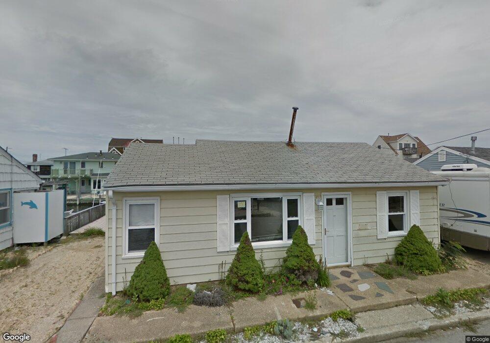
254 Joseph St Lavallette, NJ 08735
Dover Beaches North NeighborhoodEstimated Value: $954,000 - $1,010,000
3
Beds
1
Bath
904
Sq Ft
$1,089/Sq Ft
Est. Value
About This Home
This home is located at 254 Joseph St, Lavallette, NJ 08735 and is currently estimated at $984,540, approximately $1,089 per square foot. 254 Joseph St is a home located in Ocean County.
Ownership History
Date
Name
Owned For
Owner Type
Purchase Details
Closed on
Jan 9, 2023
Sold by
Dangelo Victoria F
Bought by
Dangelo Robert J and Dangelo Linda A
Current Estimated Value
Purchase Details
Closed on
Apr 11, 2017
Sold by
Barr Carolyn Q and Quigley Caroline C
Bought by
Barr Carolyn Q
Home Financials for this Owner
Home Financials are based on the most recent Mortgage that was taken out on this home.
Interest Rate
4.1%
Purchase Details
Closed on
Sep 12, 1977
Bought by
Dangelo Robert and Dangelo Victoria
Create a Home Valuation Report for This Property
The Home Valuation Report is an in-depth analysis detailing your home's value as well as a comparison with similar homes in the area
Home Values in the Area
Average Home Value in this Area
Purchase History
| Date | Buyer | Sale Price | Title Company |
|---|---|---|---|
| Dangelo Robert J | -- | -- | |
| Dangelo Robert J | -- | None Listed On Document | |
| Barr Carolyn Q | -- | -- | |
| Dangelo Robert | $35,000 | -- |
Source: Public Records
Mortgage History
| Date | Status | Borrower | Loan Amount |
|---|---|---|---|
| Previous Owner | Barr Carolyn Q | -- |
Source: Public Records
Tax History
| Year | Tax Paid | Tax Assessment Tax Assessment Total Assessment is a certain percentage of the fair market value that is determined by local assessors to be the total taxable value of land and additions on the property. | Land | Improvement |
|---|---|---|---|---|
| 2025 | $12,003 | $614,300 | $450,000 | $164,300 |
| 2024 | $10,634 | $614,300 | $450,000 | $164,300 |
| 2023 | $10,253 | $614,300 | $450,000 | $164,300 |
| 2022 | $10,253 | $614,300 | $450,000 | $164,300 |
| 2021 | $9,296 | $371,100 | $304,000 | $67,100 |
| 2020 | $9,255 | $371,100 | $304,000 | $67,100 |
| 2019 | $8,854 | $371,100 | $304,000 | $67,100 |
| 2018 | $8,736 | $371,100 | $304,000 | $67,100 |
| 2017 | $8,661 | $371,100 | $304,000 | $67,100 |
| 2016 | $8,435 | $371,100 | $304,000 | $67,100 |
| 2015 | $8,116 | $371,100 | $304,000 | $67,100 |
| 2014 | $6,469 | $310,700 | $304,000 | $6,700 |
Source: Public Records
Map
Nearby Homes
- 3071 Route35sb-B1-u7 Unit 7
- 236 Bryn Mawr Ave
- 222 Mallard Ln
- 34 W Rutherford Ln
- 107 W Beach Way
- 201 Mallard Ln
- 12 W Rutherford Ln
- 3071 Route 35 S Unit B1U7
- 3031 Route 35 N Unit B
- 10 W Rutherford Ln
- 75 Grand Central Ave Unit Courtyard
- 75 Grand Central Ave Unit Private Side Yard
- 105 W Bayberry Way
- 207 Bay Blvd
- 3201 Route 35 N Unit B
- 351 W Bayview Dr
- 26 Bond Ave Unit A
- 111 President Ave
- 109 President Ave
- 104 W Penguin Way
Your Personal Tour Guide
Ask me questions while you tour the home.